The El Capitan... of Texas
18 Mar 2025
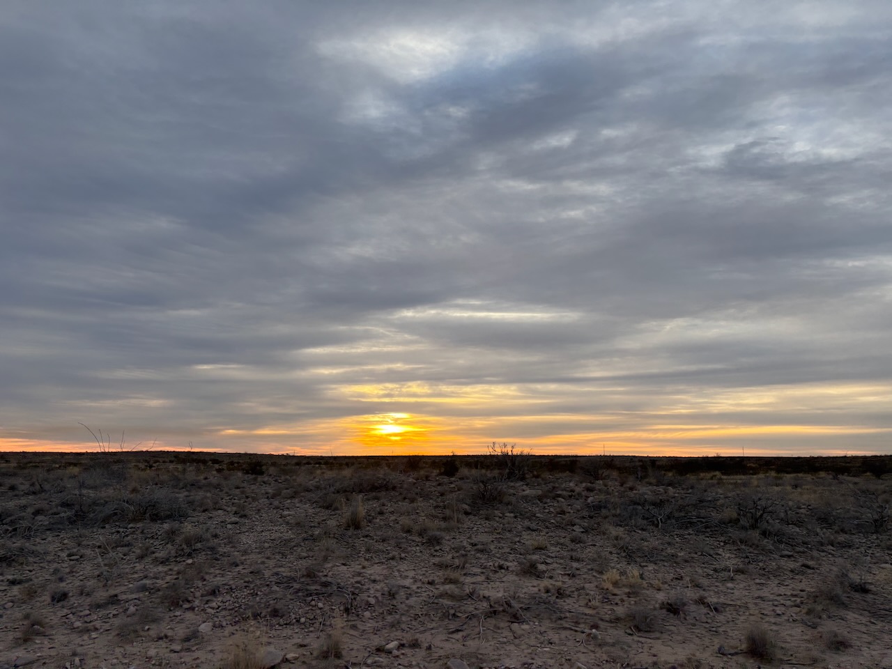
The sunrises in the West are really pretty.
Welcome to Guadalupe Mountains National Park!
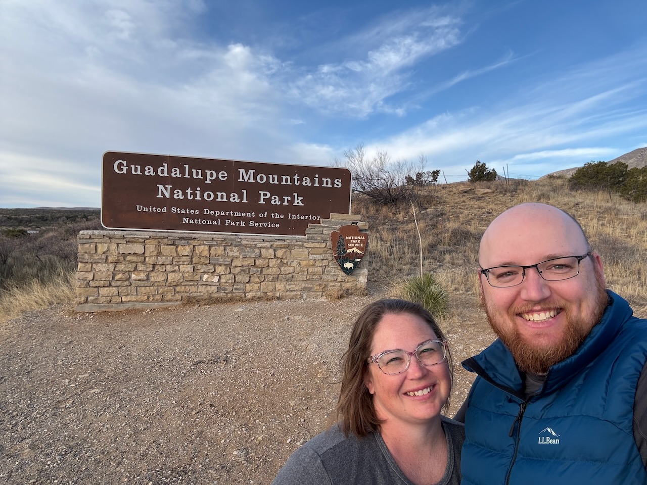
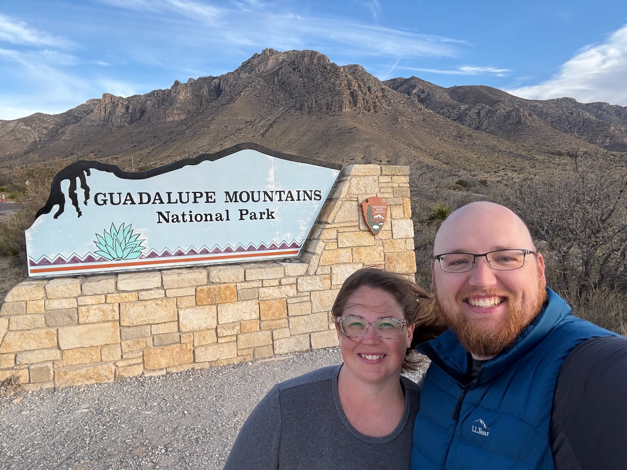
Welcome to Guadalupe Mountains National Park! We aren't sure why they have the different signs, but they have signs
everywhere, along the highway and at each of the major attractions.
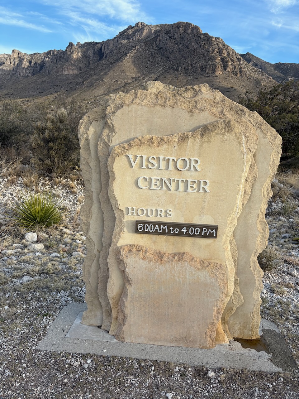
The visitor center was fun. They have a really cool sign, and had a whiteboard explaining a bit about the national
park. We even spied a raven, though we're not sure what he was conspiring about.
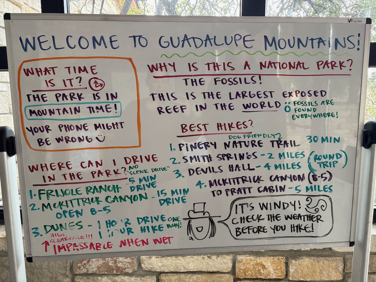 Both of our cell phones kept switching time zone in the park
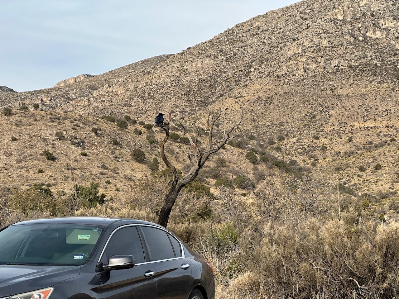
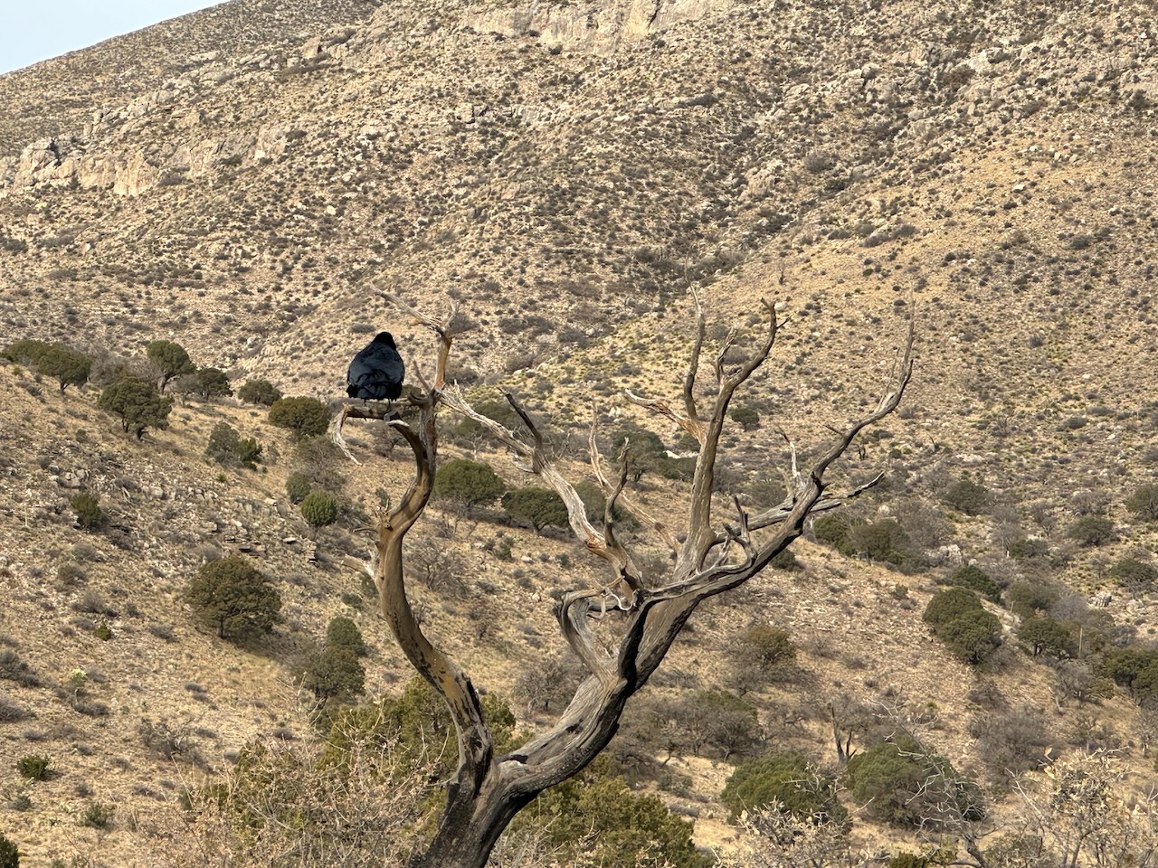
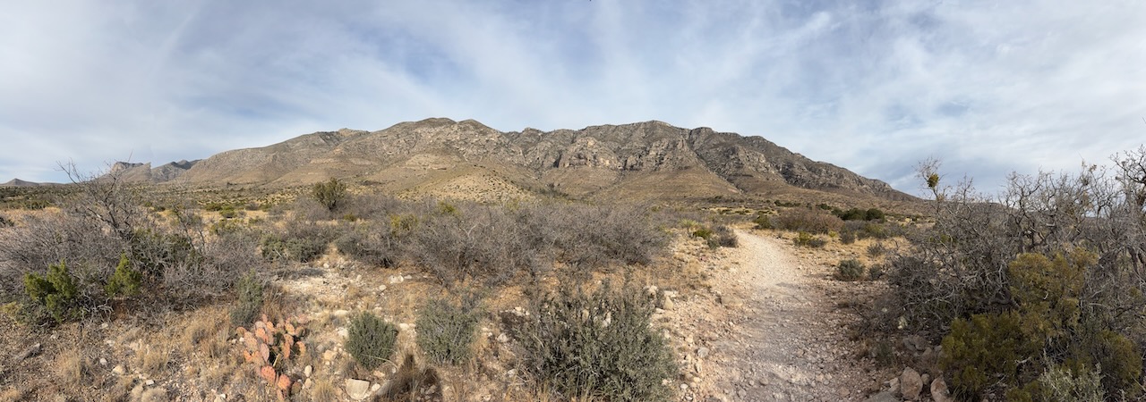
Guadalupe Mountains National Park is just south of Carlsbad Caverns National Park, sharing some borders with it even. This is a unique mountain range that is built from the reef of the ancient Permian Sea that used to cover the area millions of years ago. The range is close to both the Sacramento Mountain Range and the Delaware Mountain Range, but is separate from both of those, making it one of the smallest mountain ranges in the US.
From there we went on a hike to see some of the freshwater springs coming out of the mountains in the desert. This was one of the major reasons ranchers settled the area around the Guadalupe Mountains.
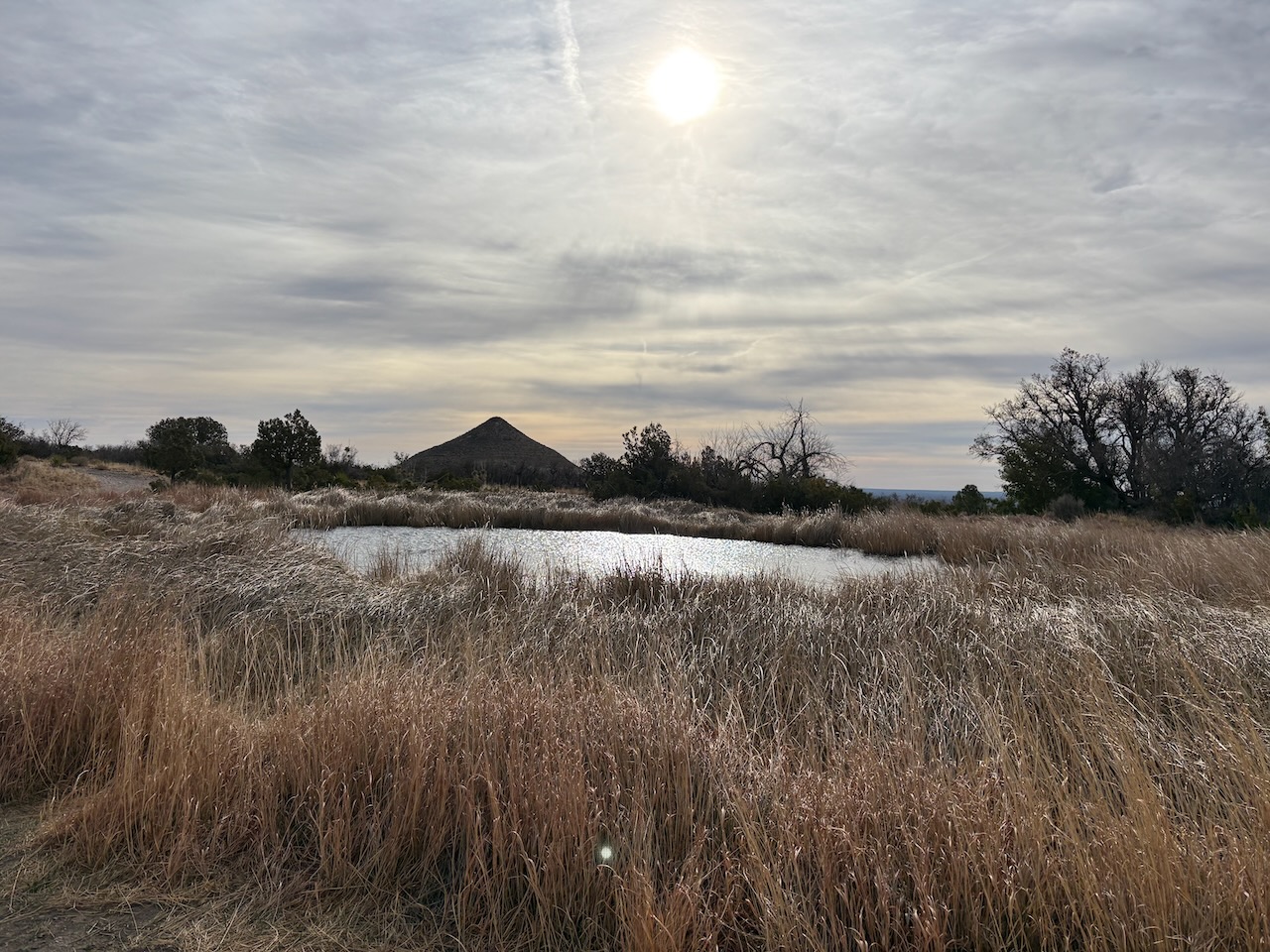
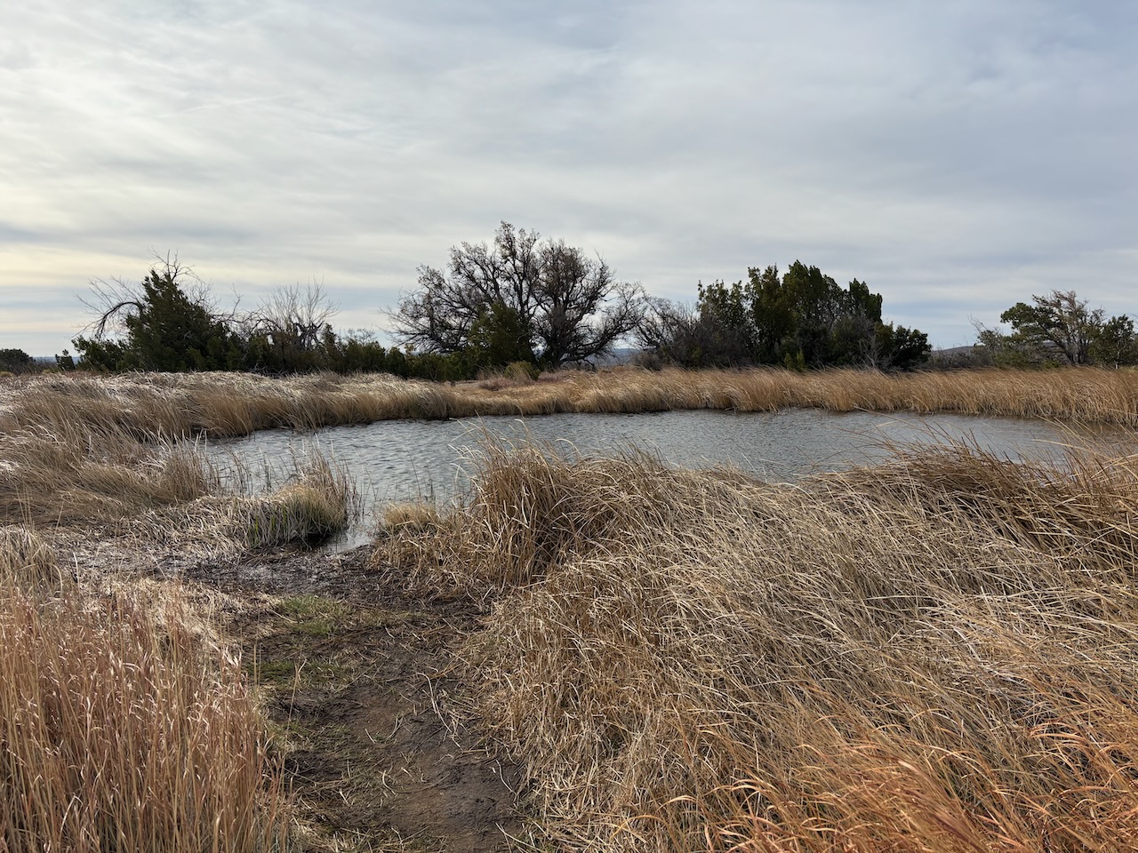
The first spring is named Manzanita. It's actually not surrounded by trees or anything like an Oasis would be,
instead just having some high grasses. From there we started climbing up toward the second spring in the hike.
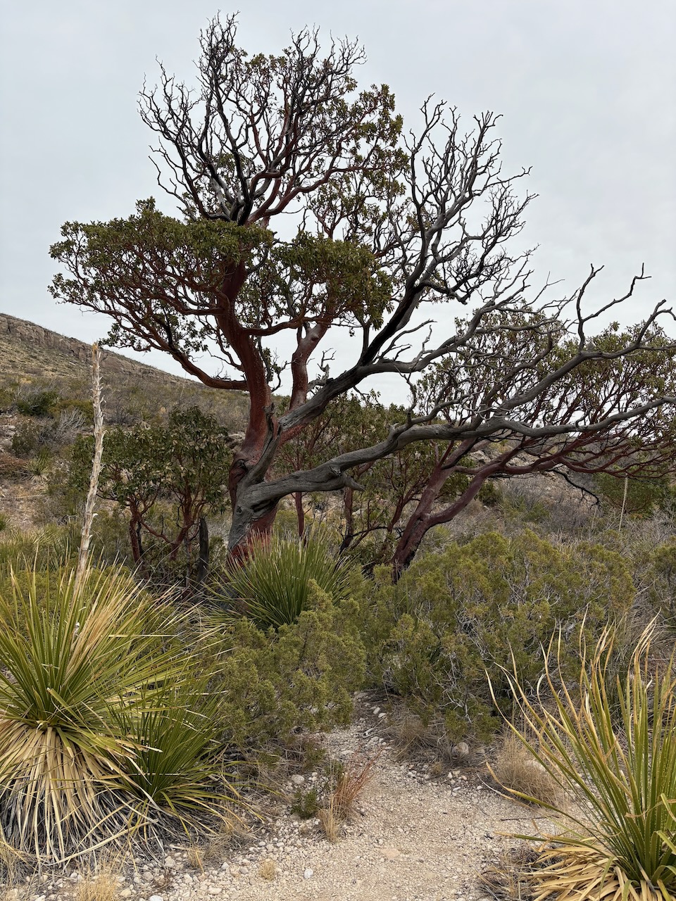
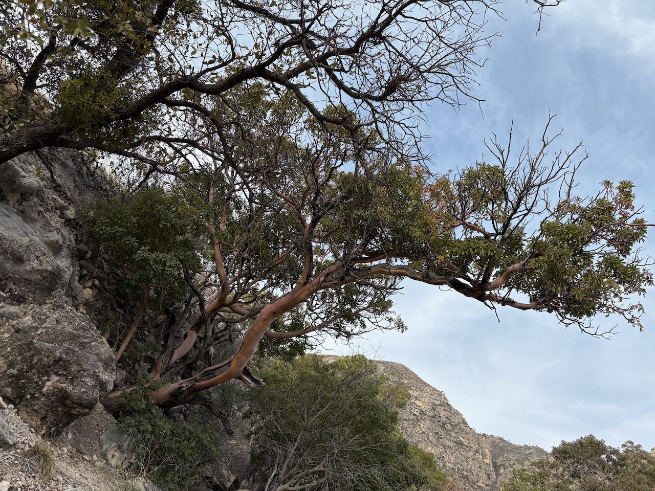 A Texas Madrone tree
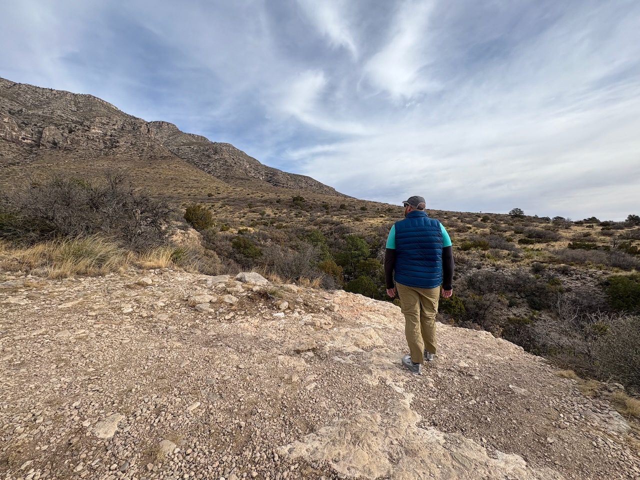
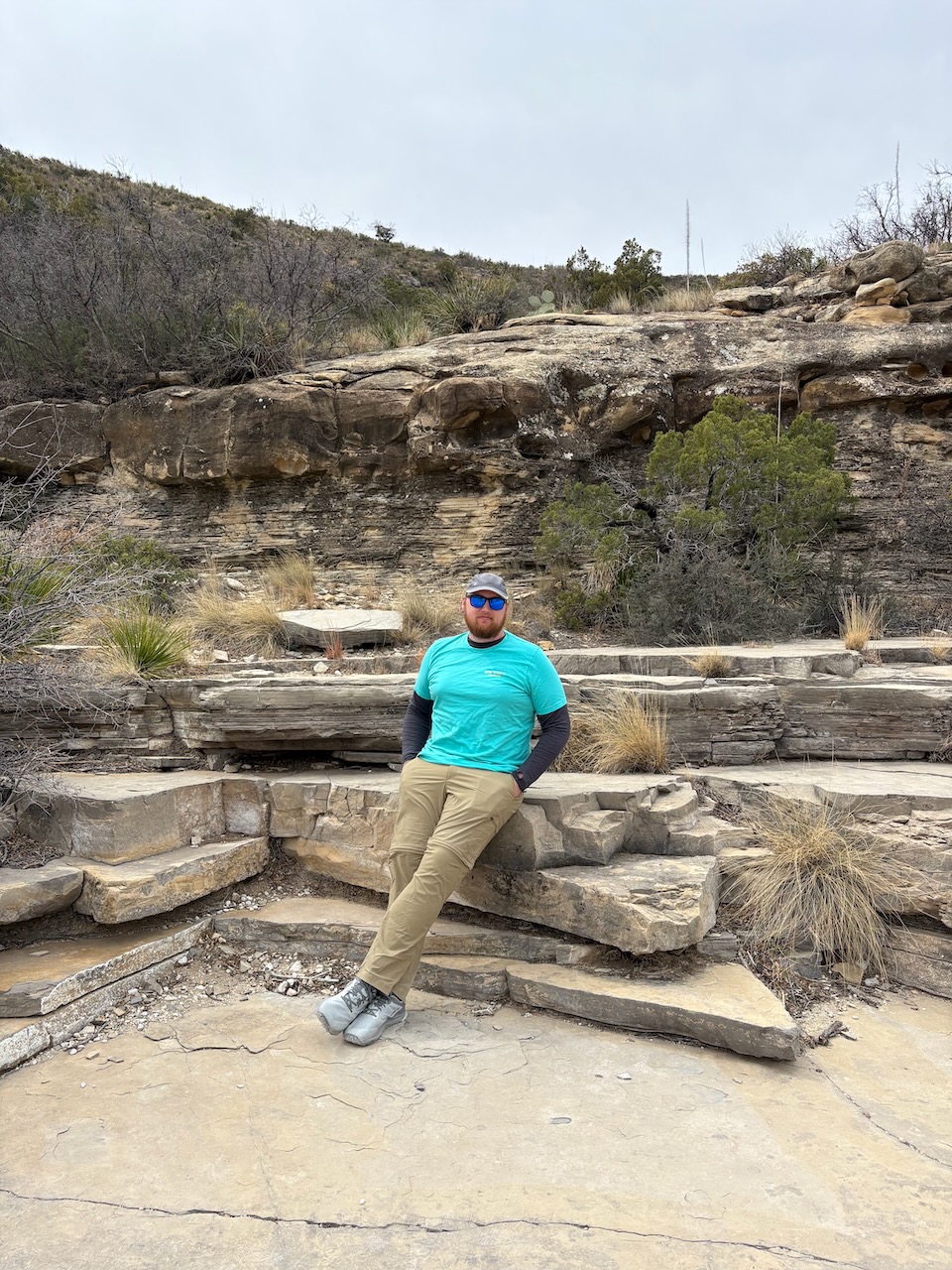
About halfway up, Sara found a big rock to climb up on. and grabbed some great photos
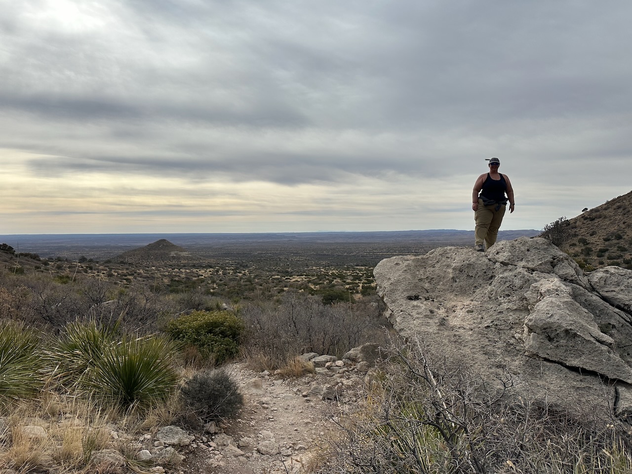
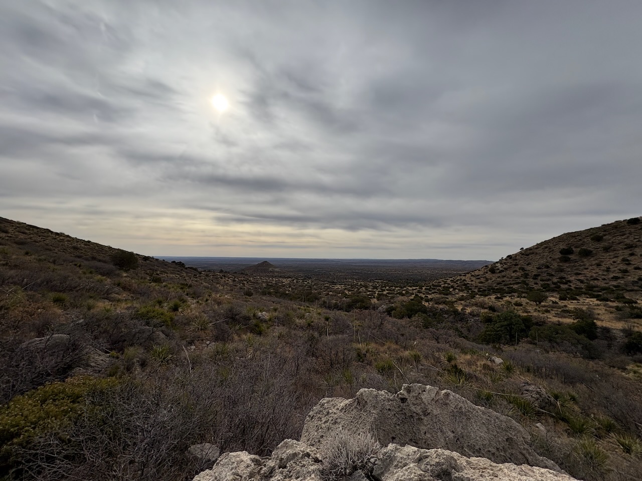
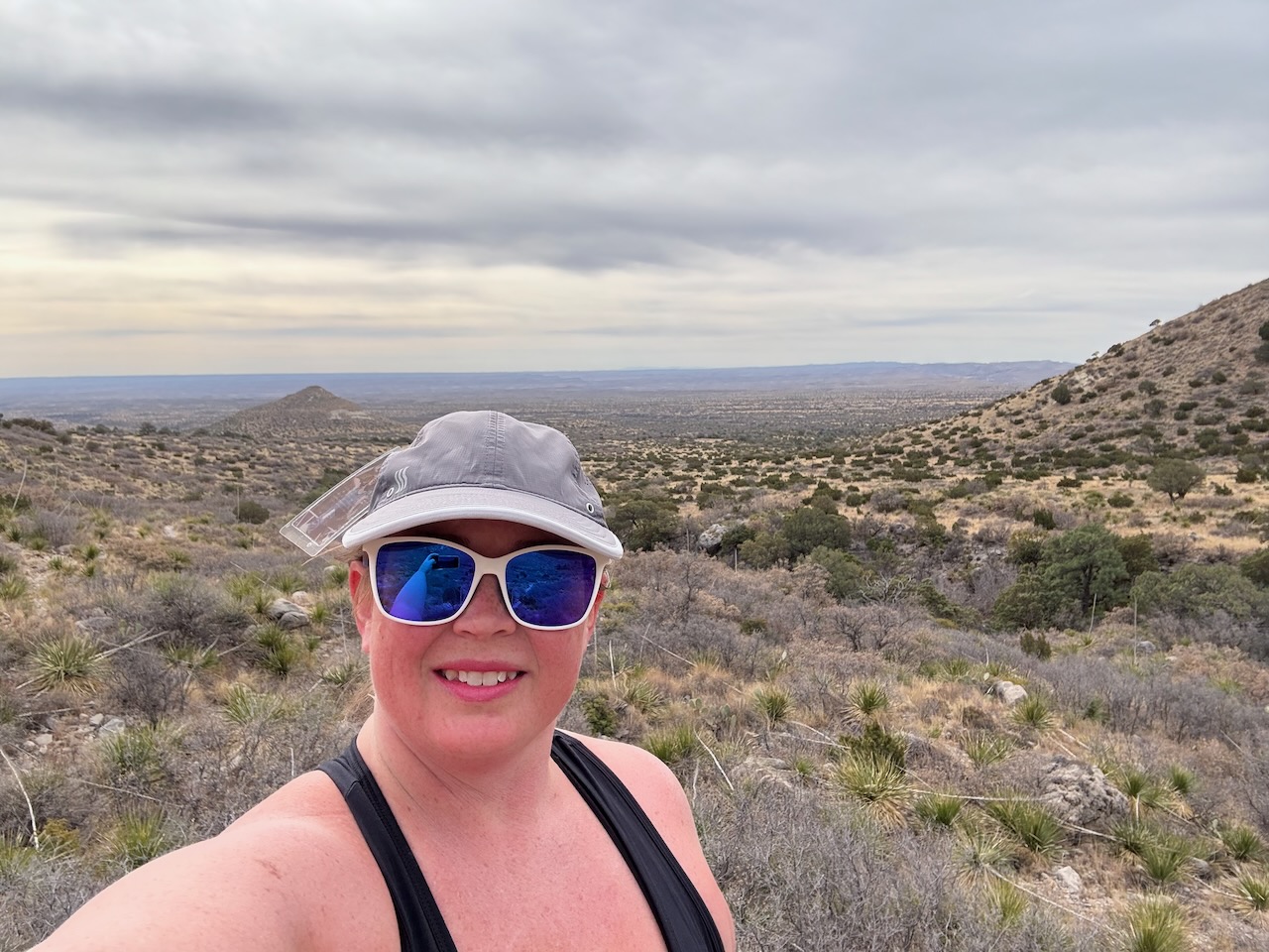
As we approached, we could start to hear some gurgles from our second spring, and the trees started sprouting. Then
we spotted a pool that had formed from the stream.
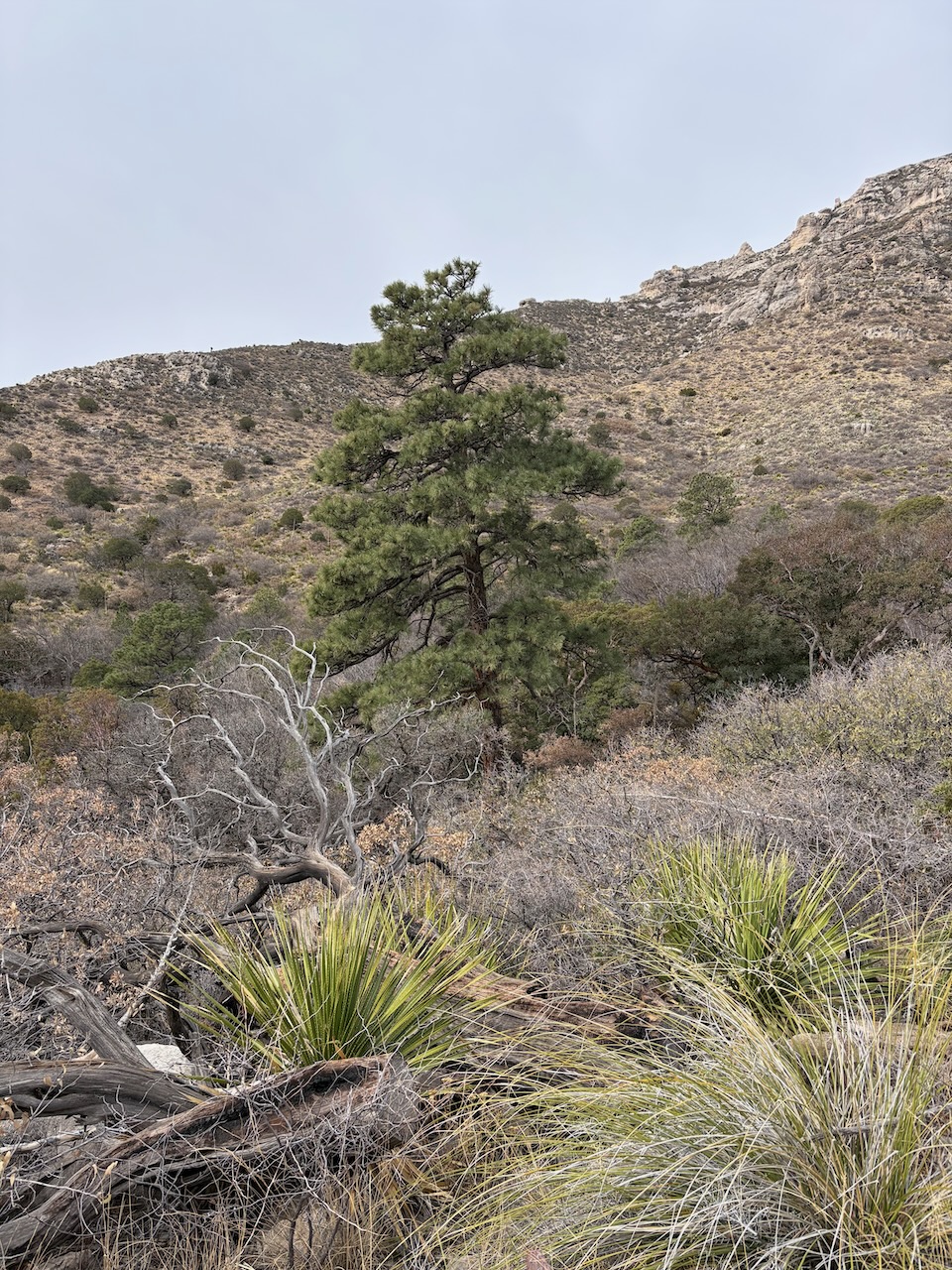
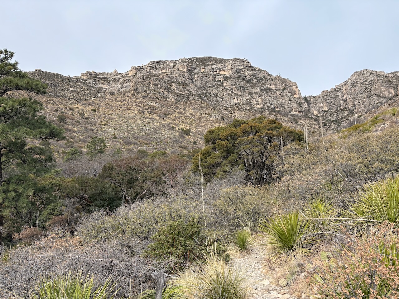
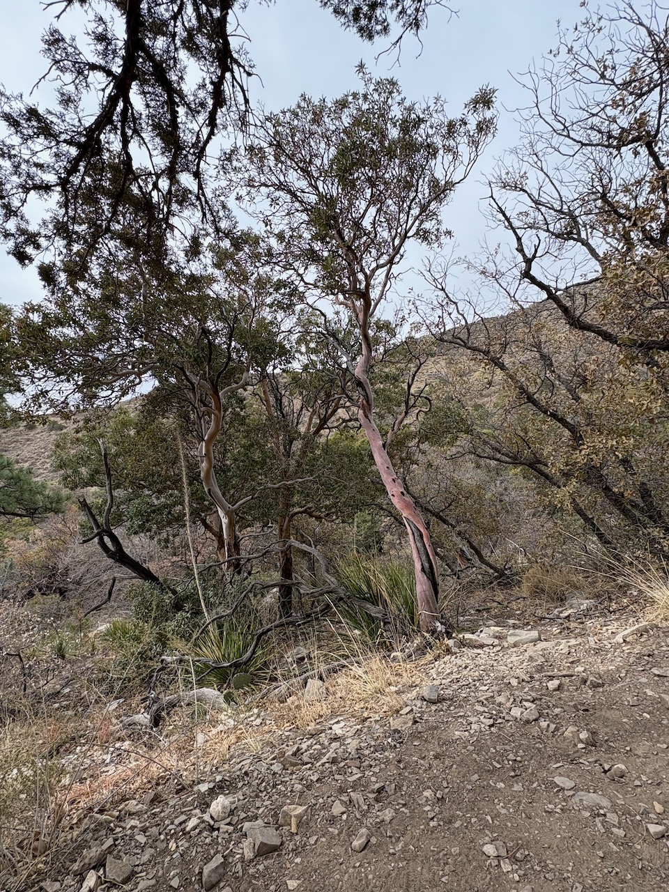
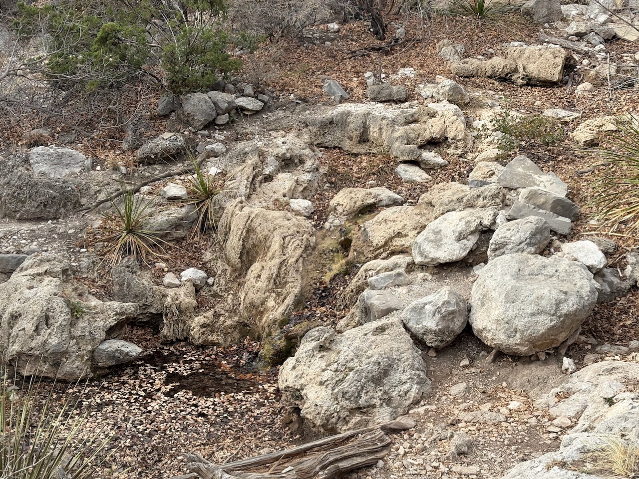
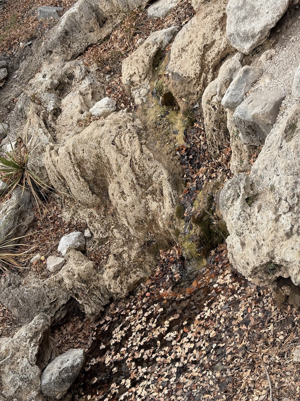
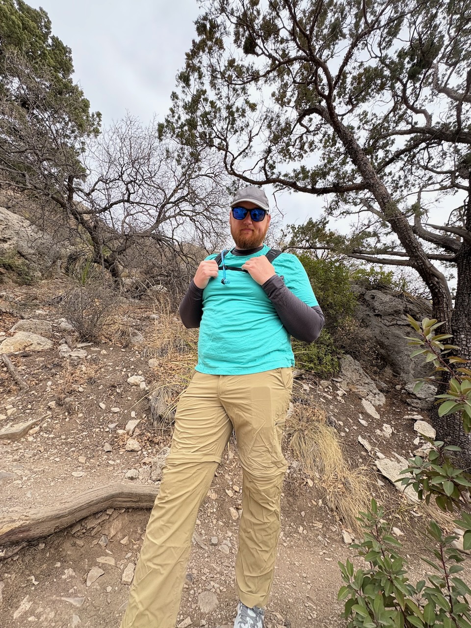
We eventually made it close to the source of the Smith Spring, which opened up into a lovely clearing around a clear pool.
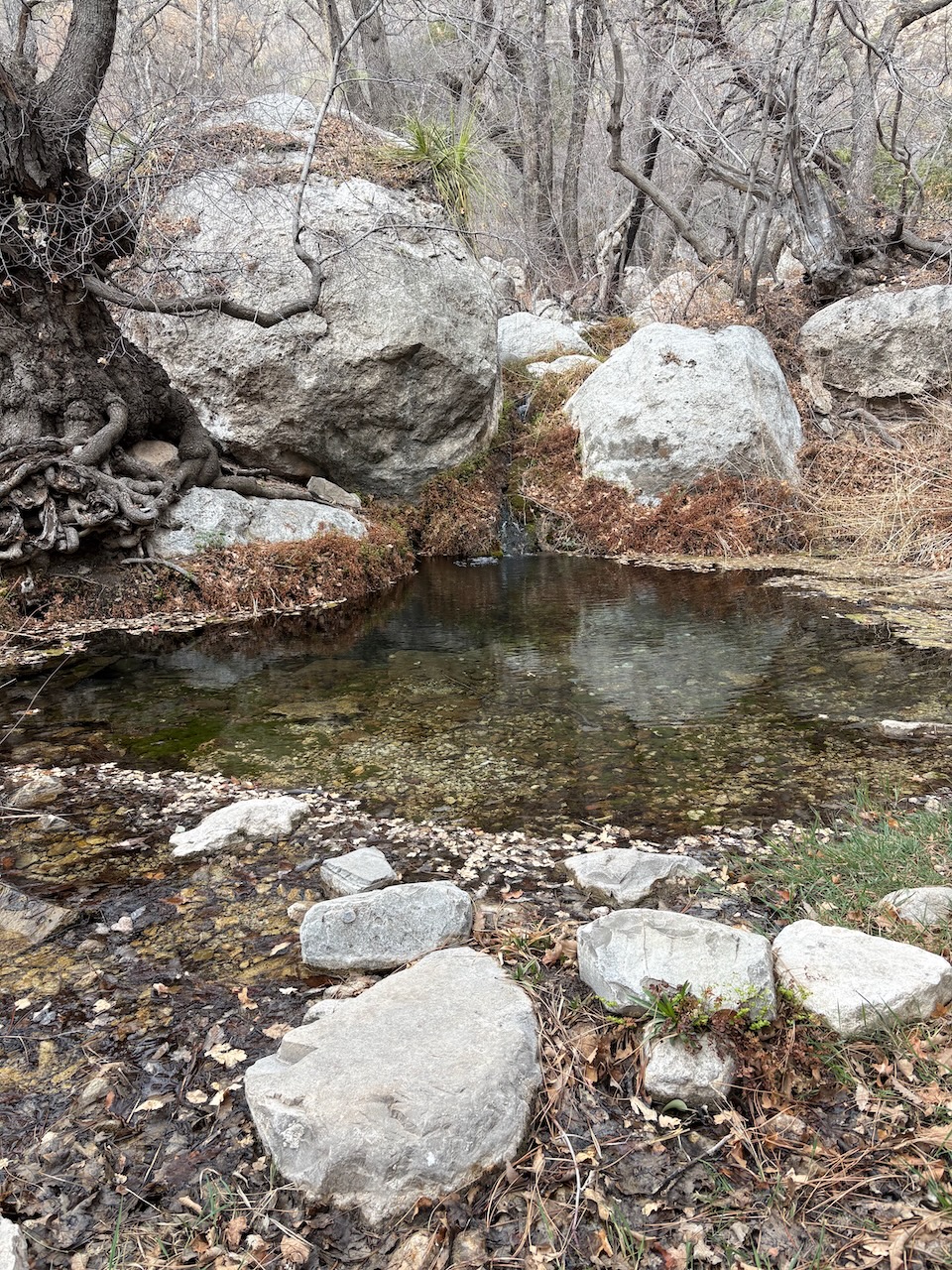
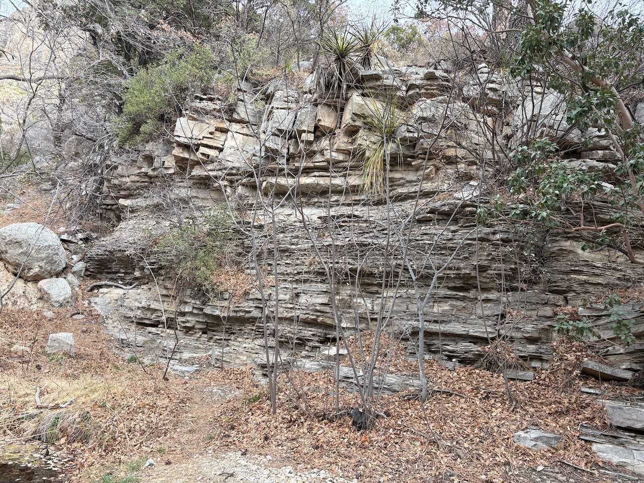
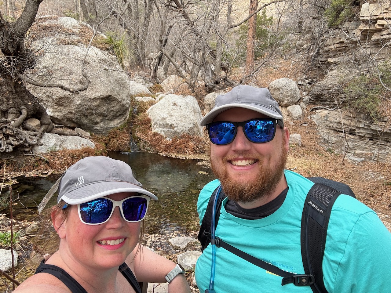
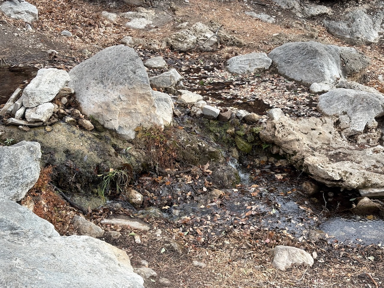
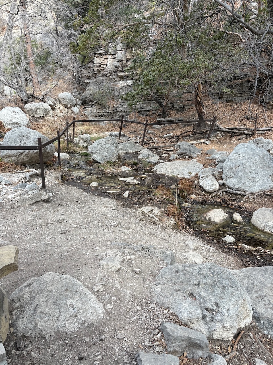
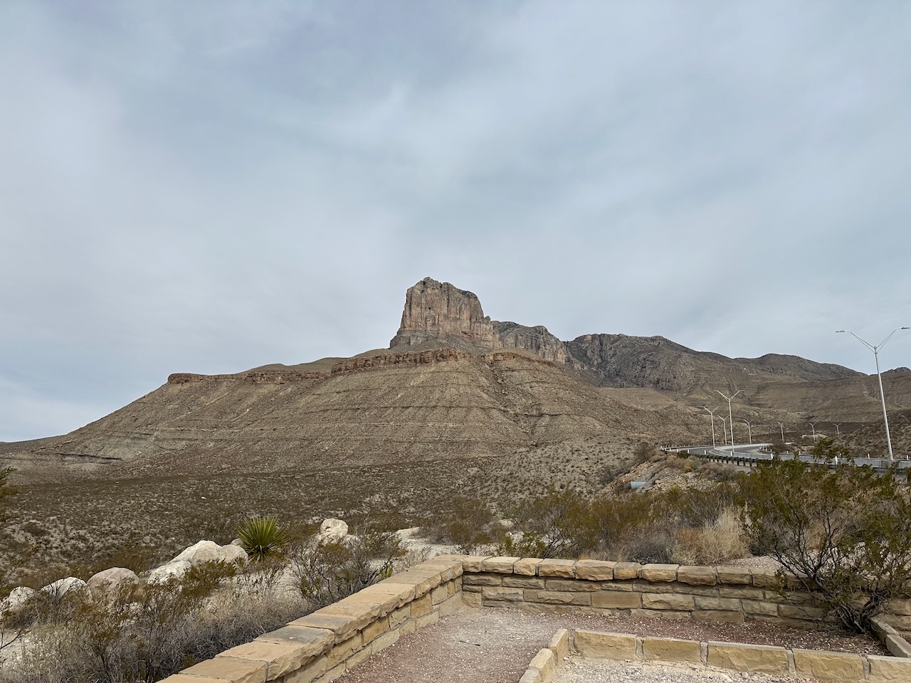
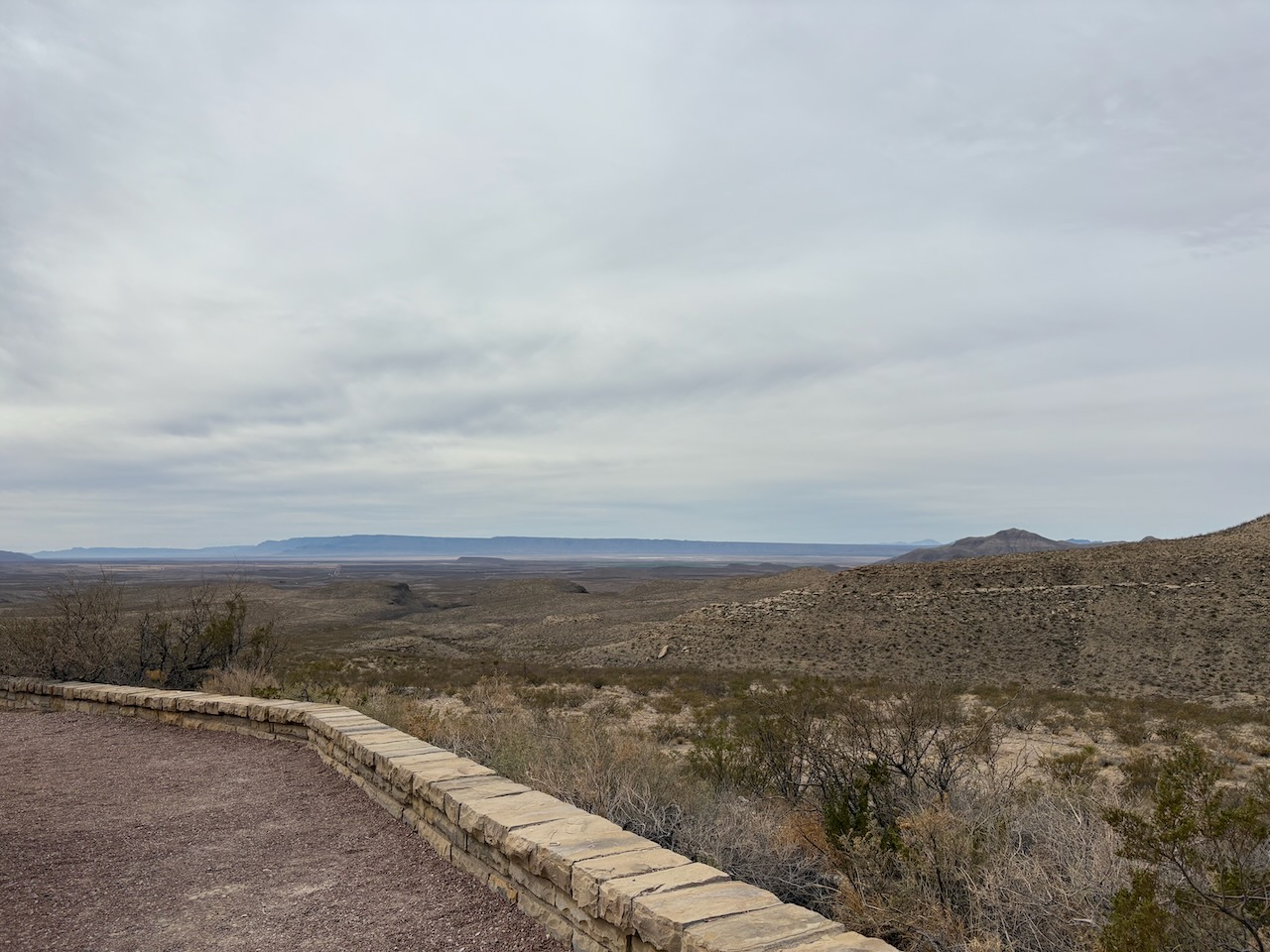
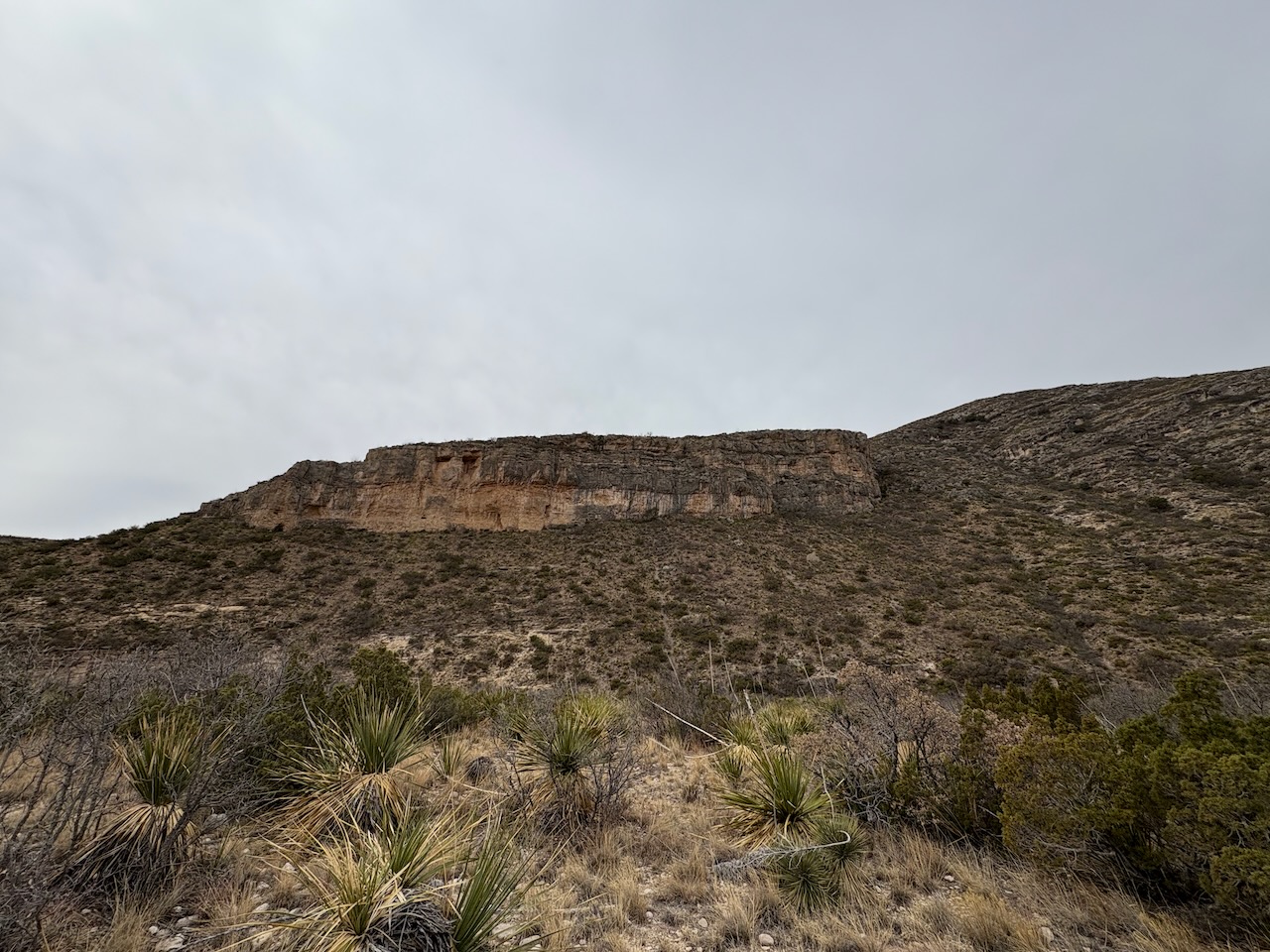
After making our way back down the mountain, we drove on down to a scenic overlook for El Capitan. This is not named
because of it's similarity to El Capitan in Yosemite, but it is the second time Texas has had a miniature geologic
feature, making it clear that not everything is bigger in Texas.
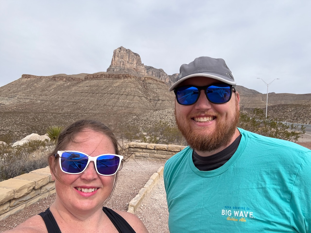
From there, the day was young, and despite Cory being sore, we traveled to McKittrick Canyon. Here there was a 5 mile hike to go with our 2.5 mile hike to the springs.
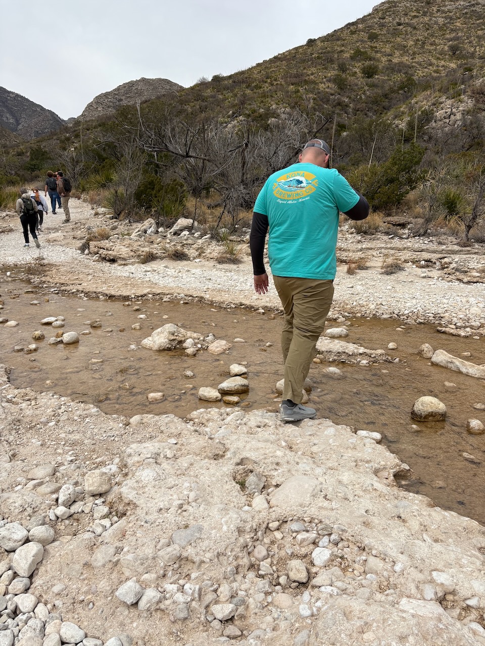 Cory
Cory
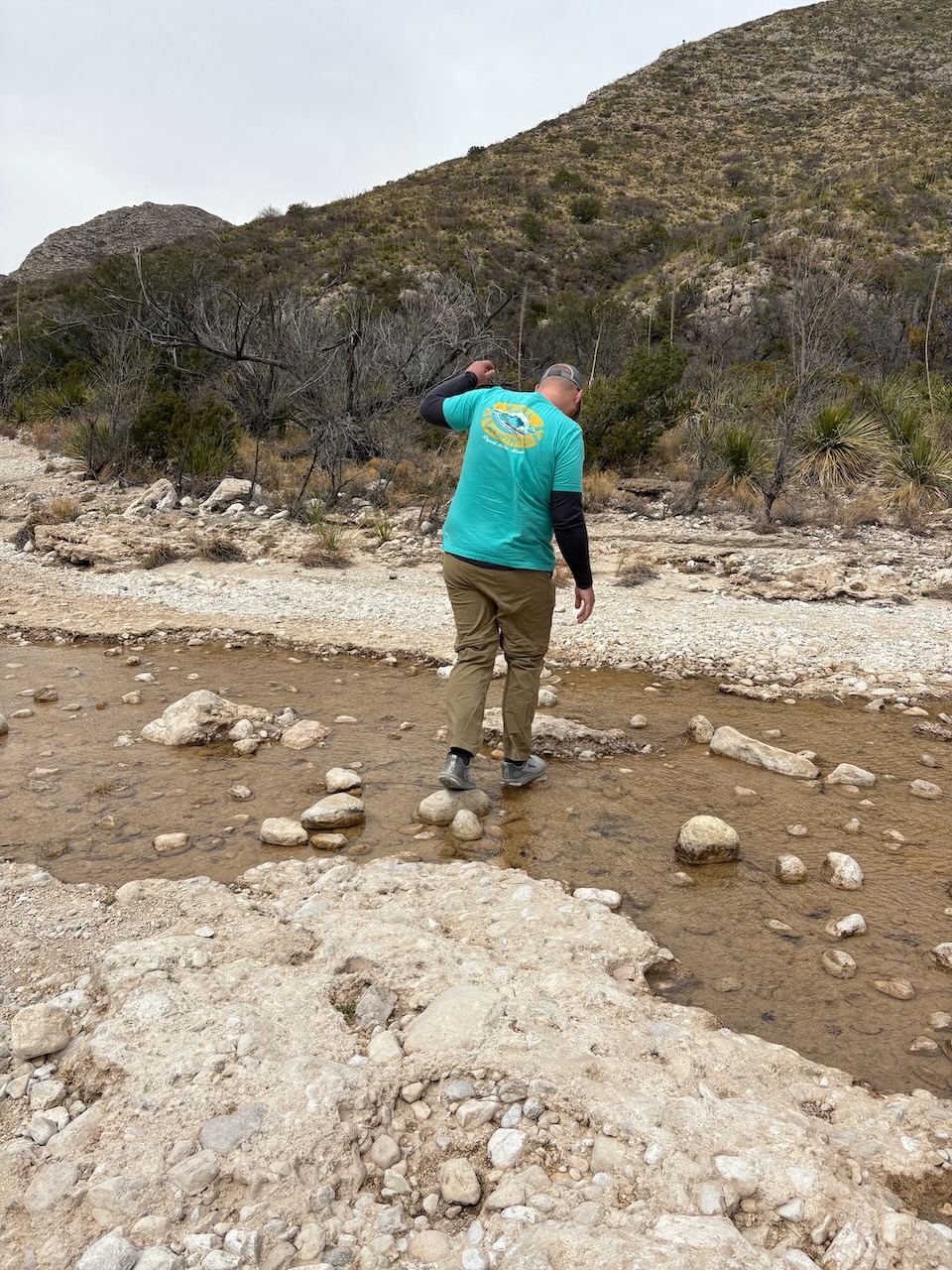 did
did
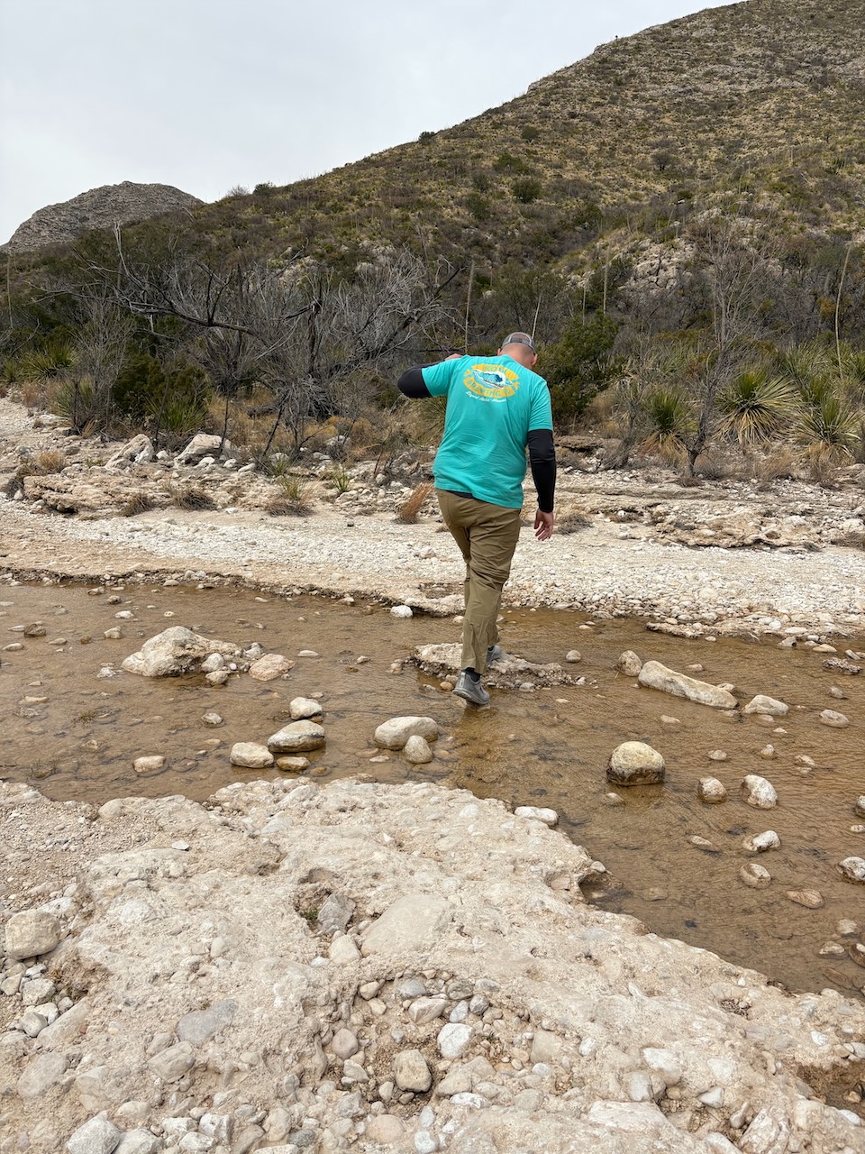 not
not
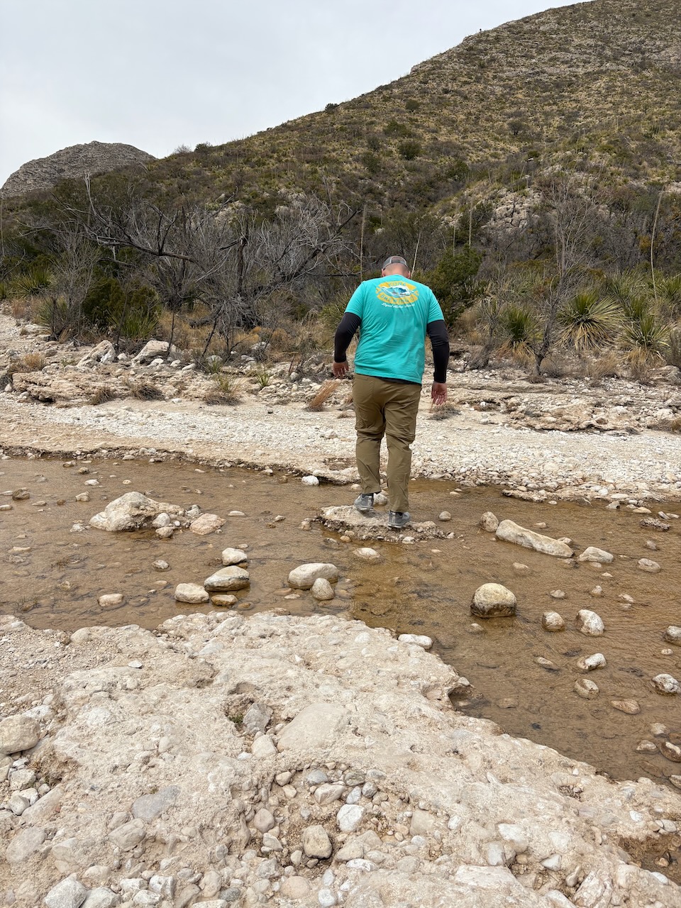 fall
fall
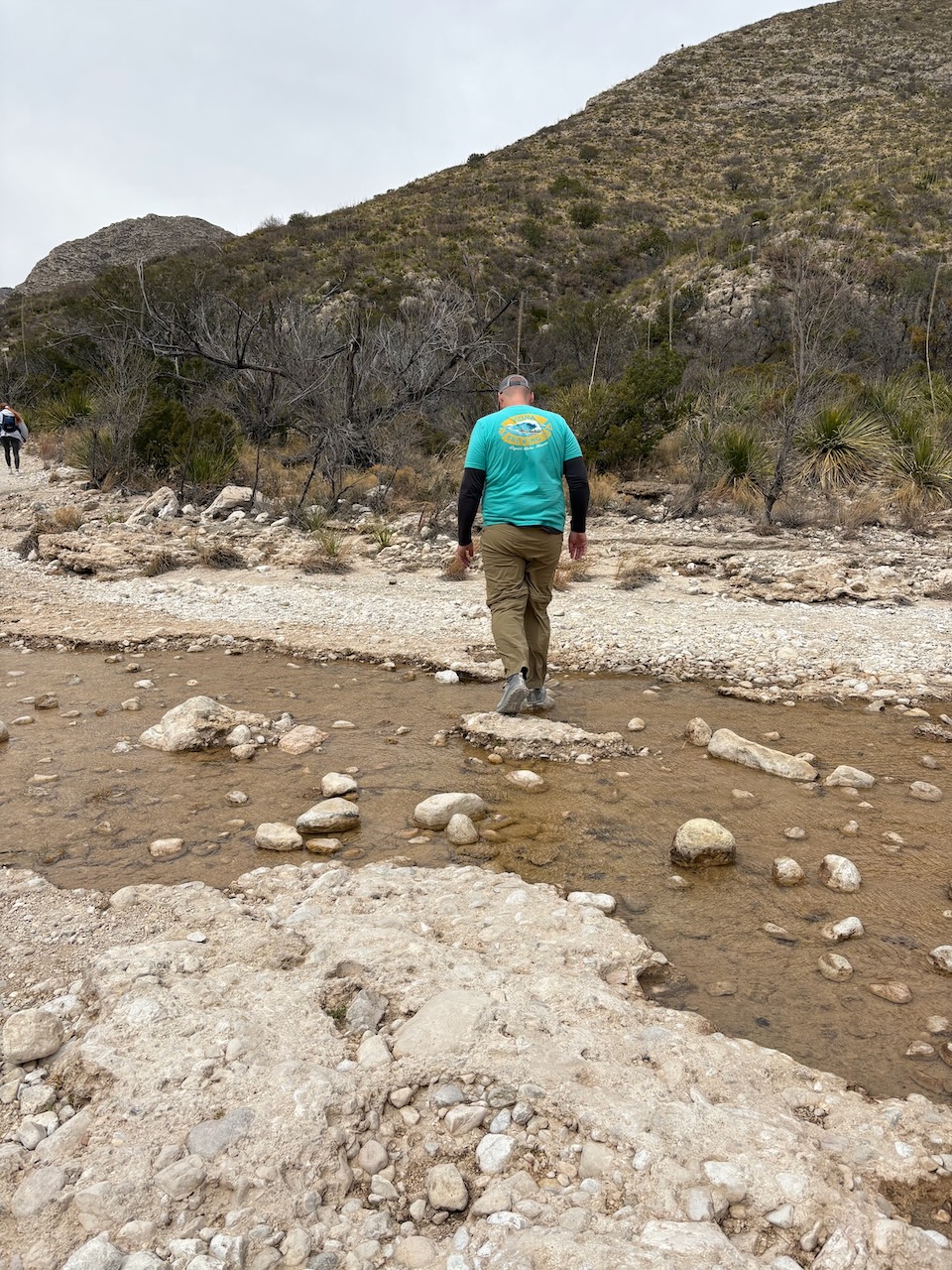 into
into
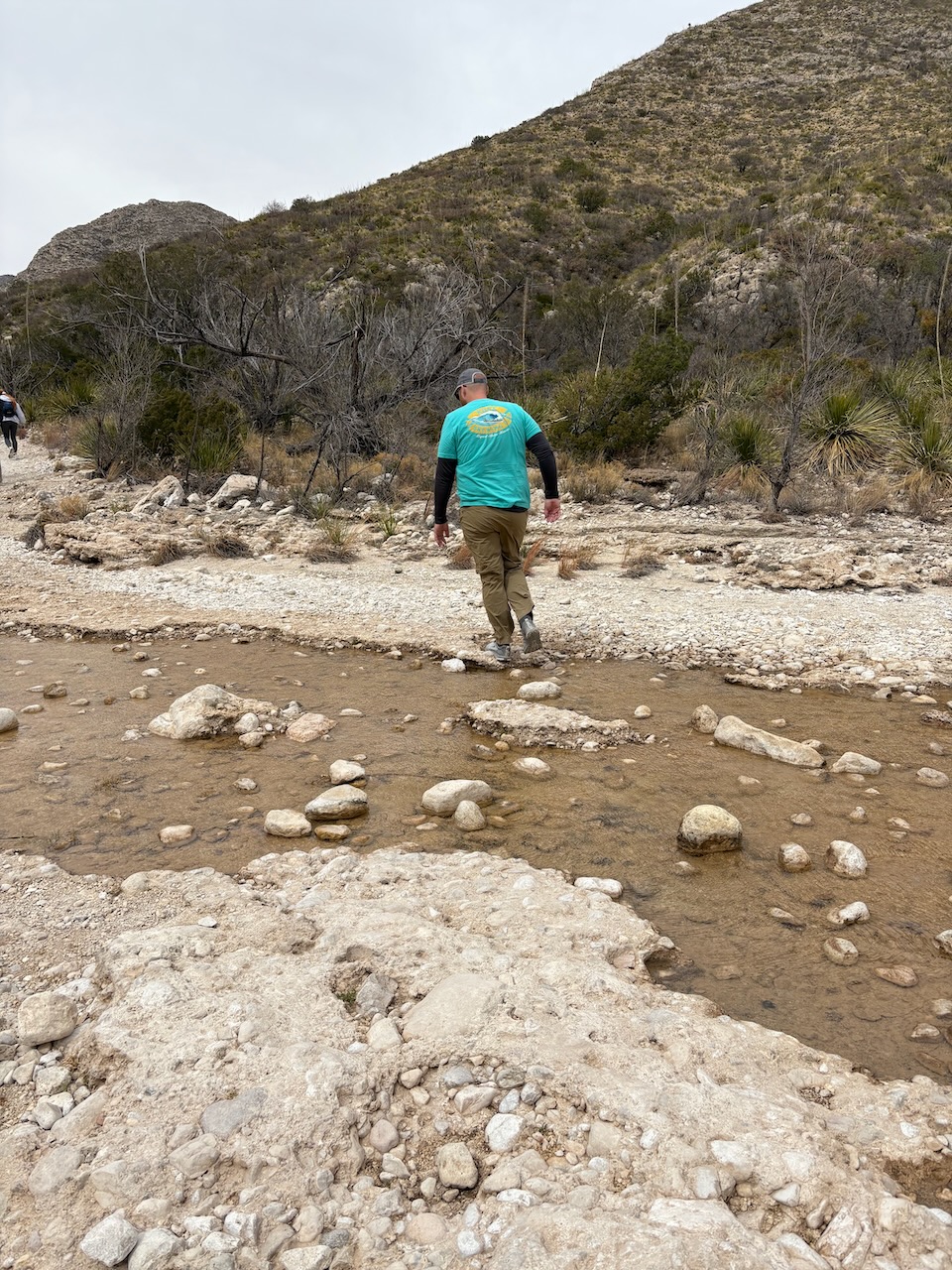 the
the
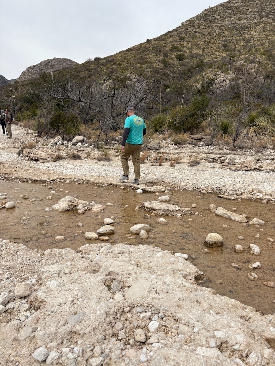 stream!
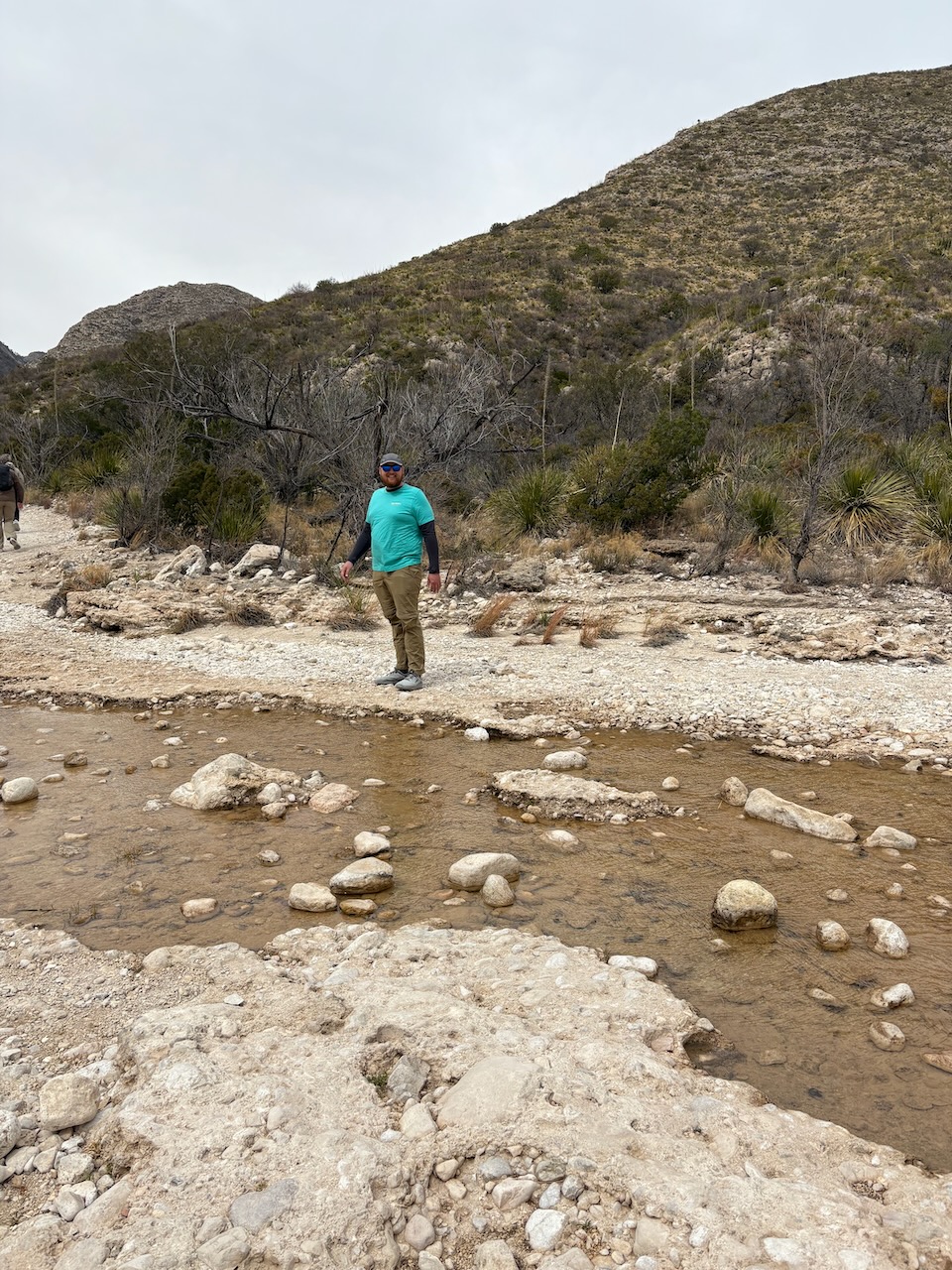
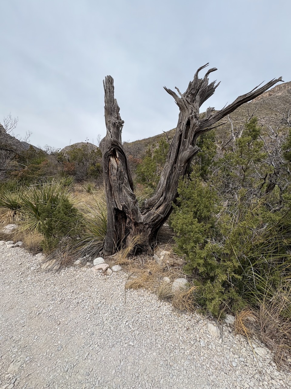
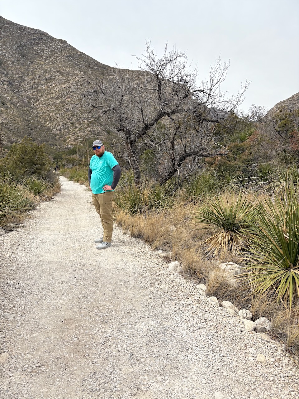
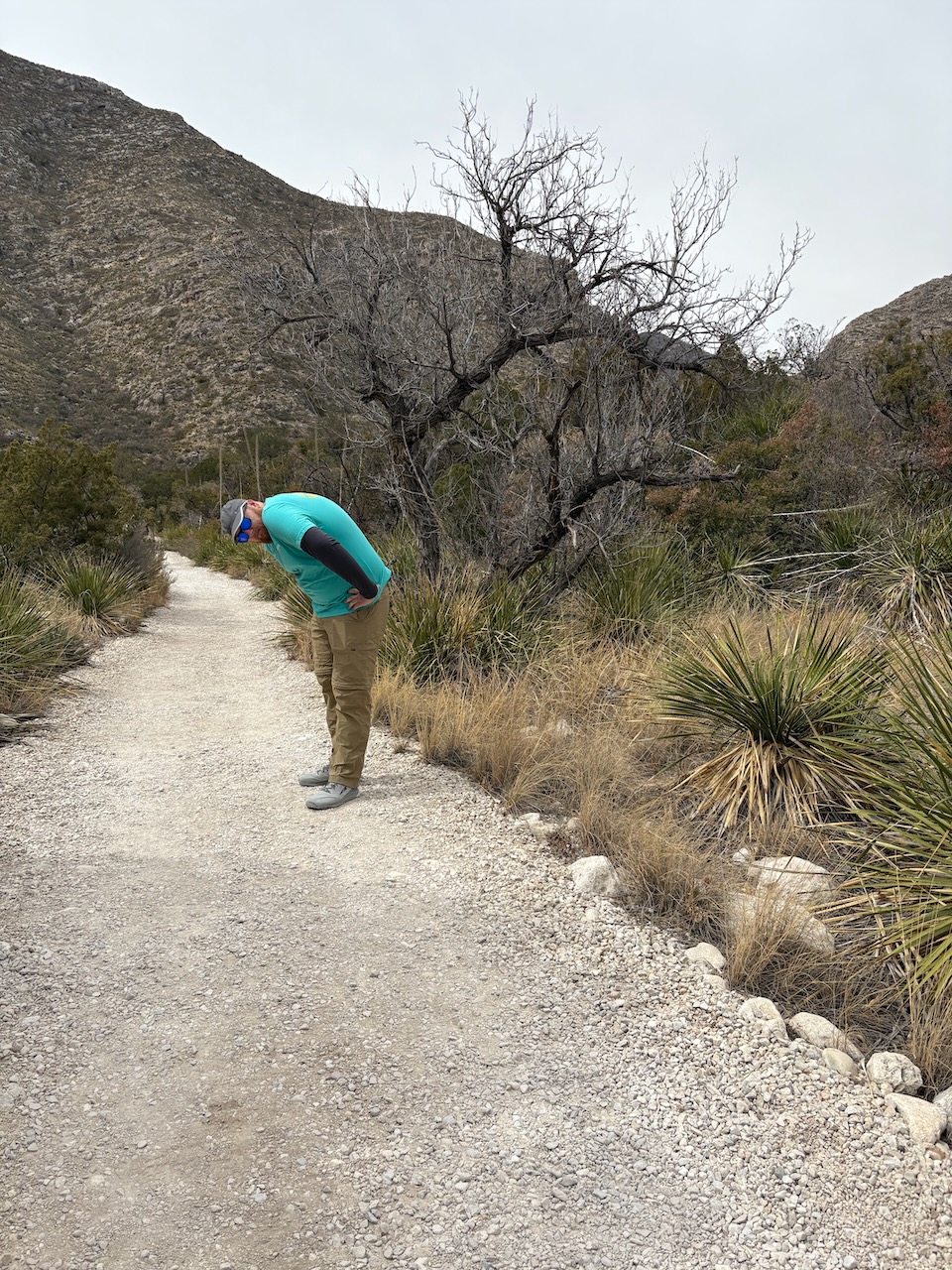 "Oh my aching back!"
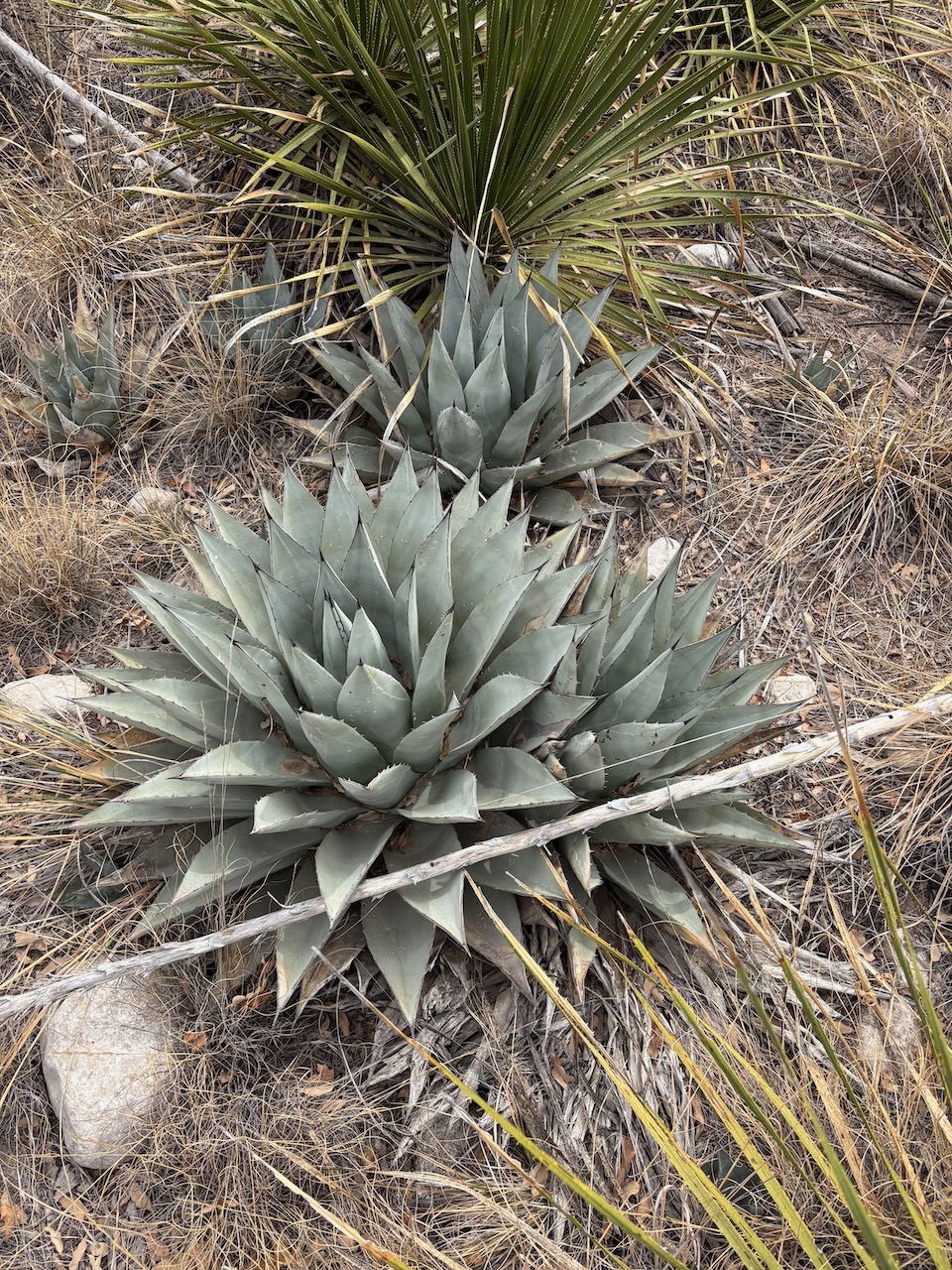
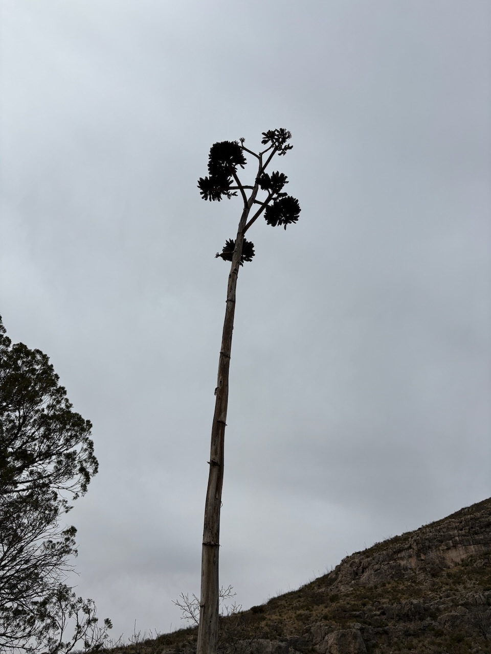
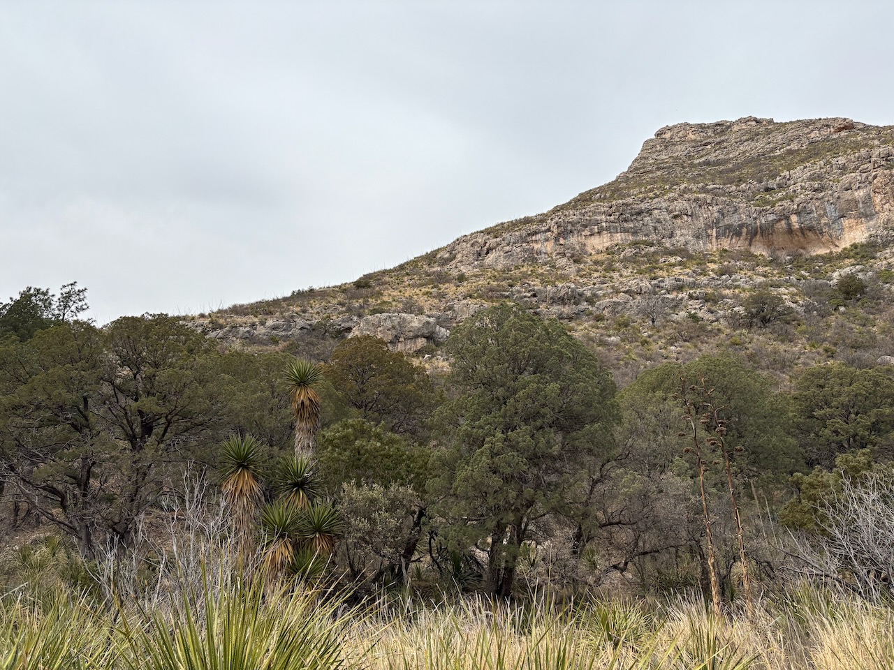
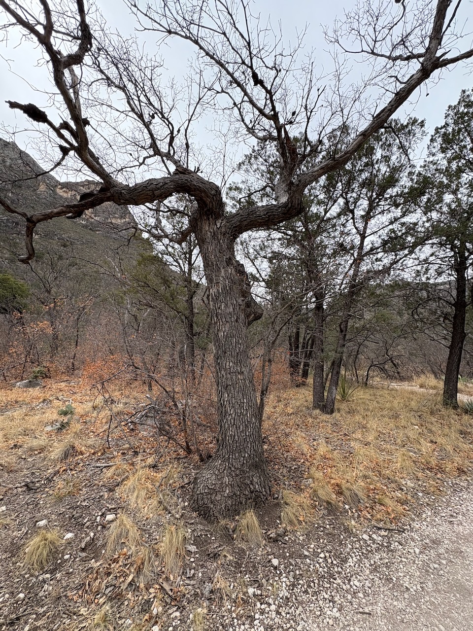
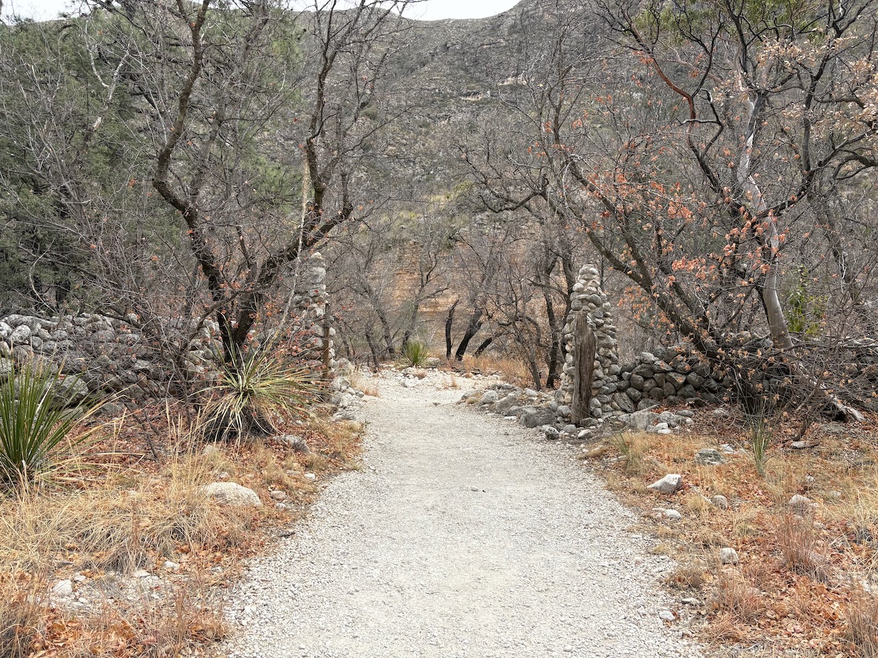
The unique thing about the canyon is that there is a stream passing through it, which allowed a greater variety of
plant life to grow, including some types of trees that need more water, like Ponderosa Pine, Maple, and Mistletoe
Oak. It also was wholly donated to the federal government by the man who built a house down in the canyon. That's
what the hike was going to. The house itself was built in the 1930s sourcing stones and timber from the local area.
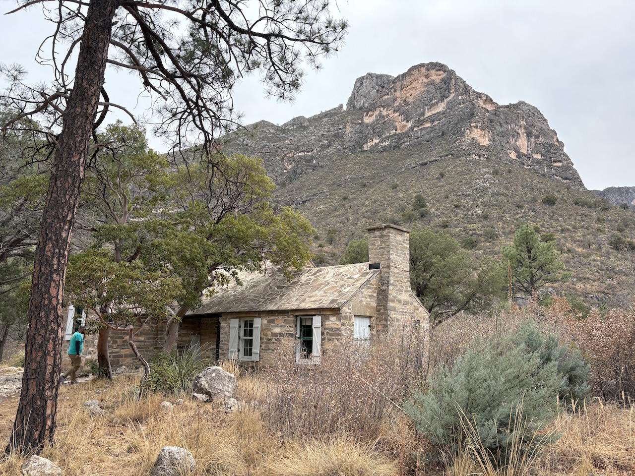
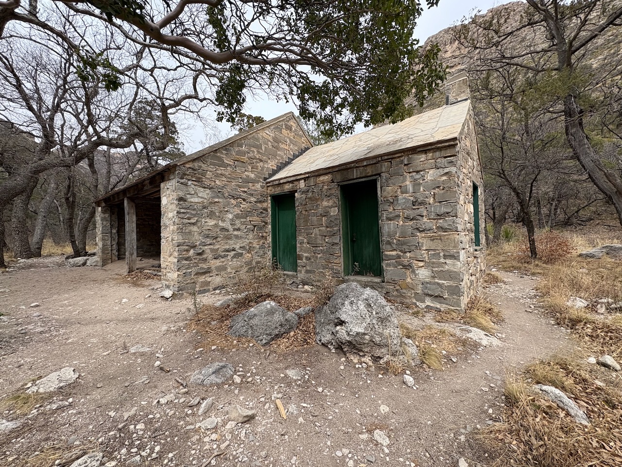
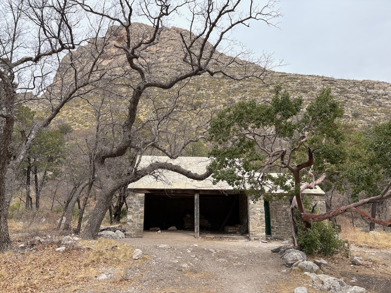
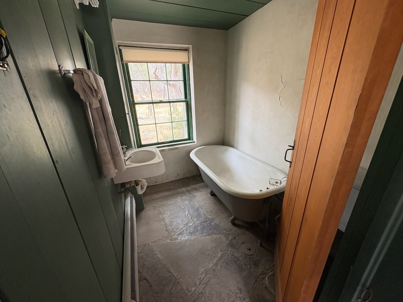
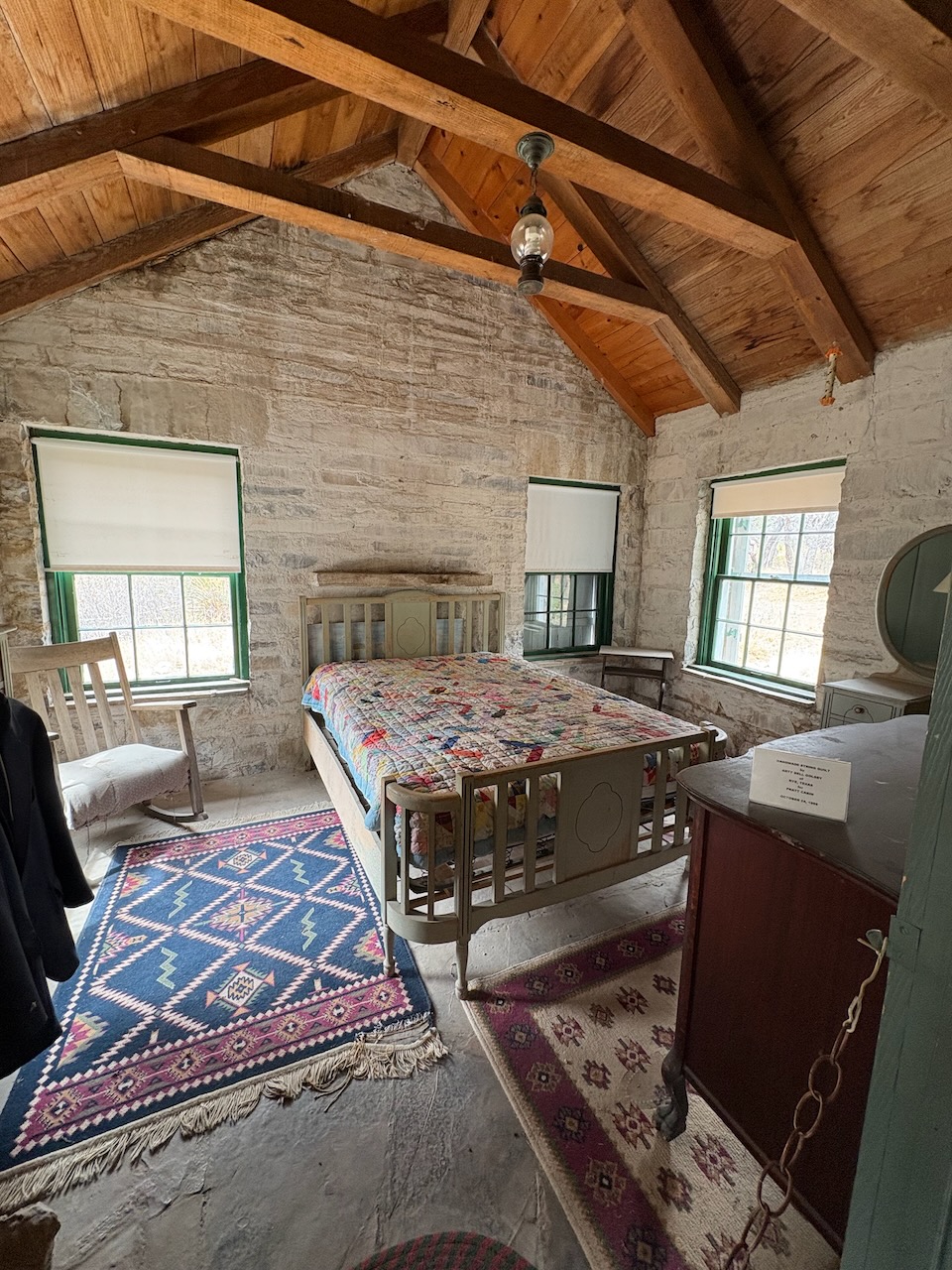
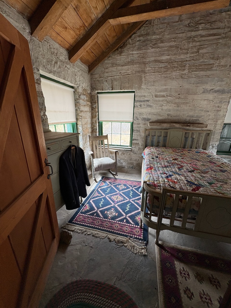
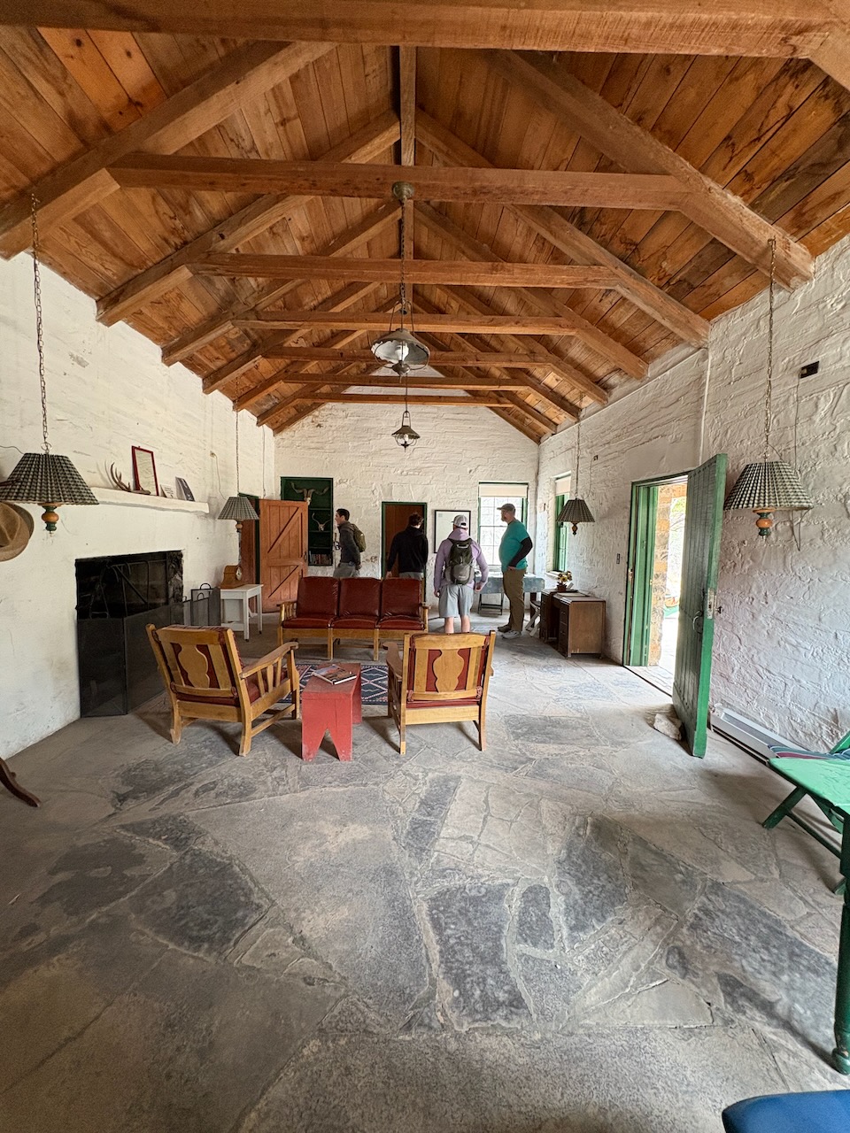
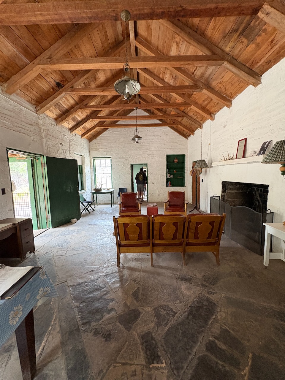
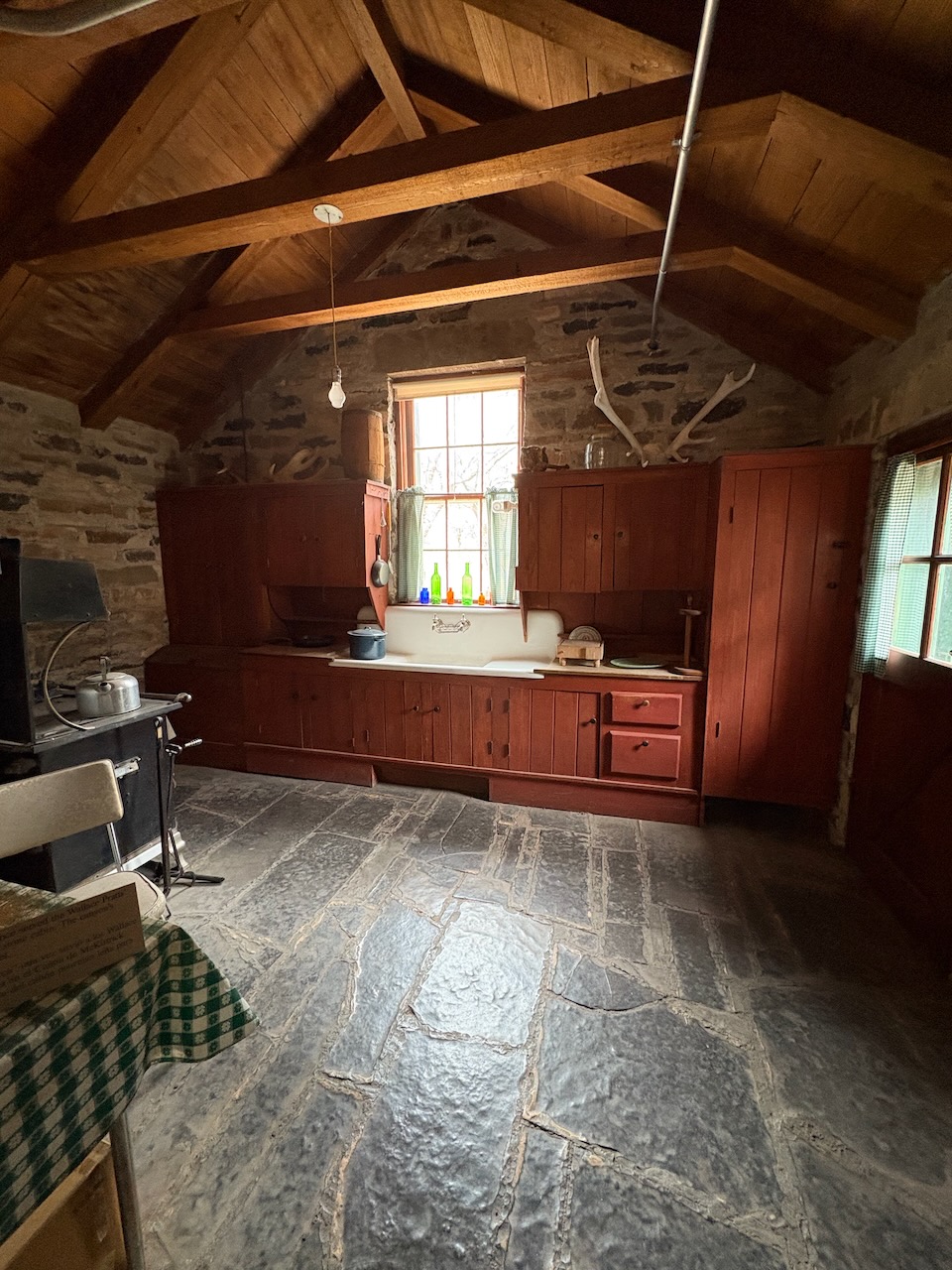
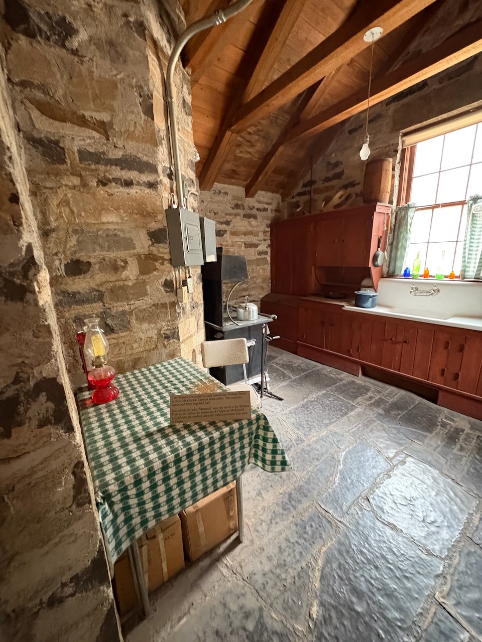
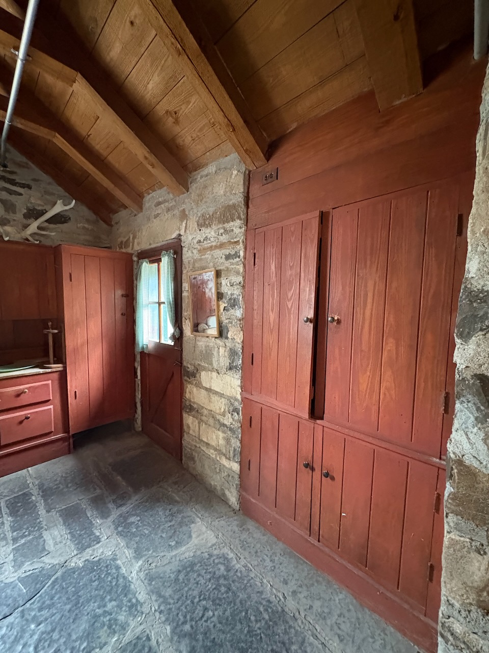
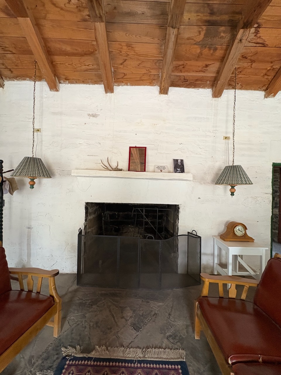
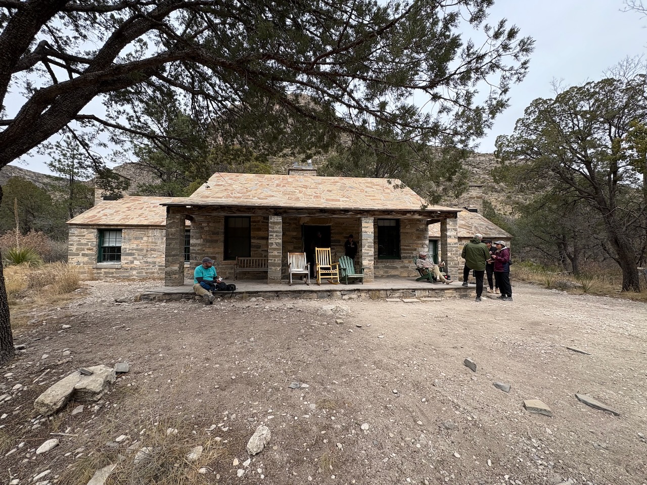
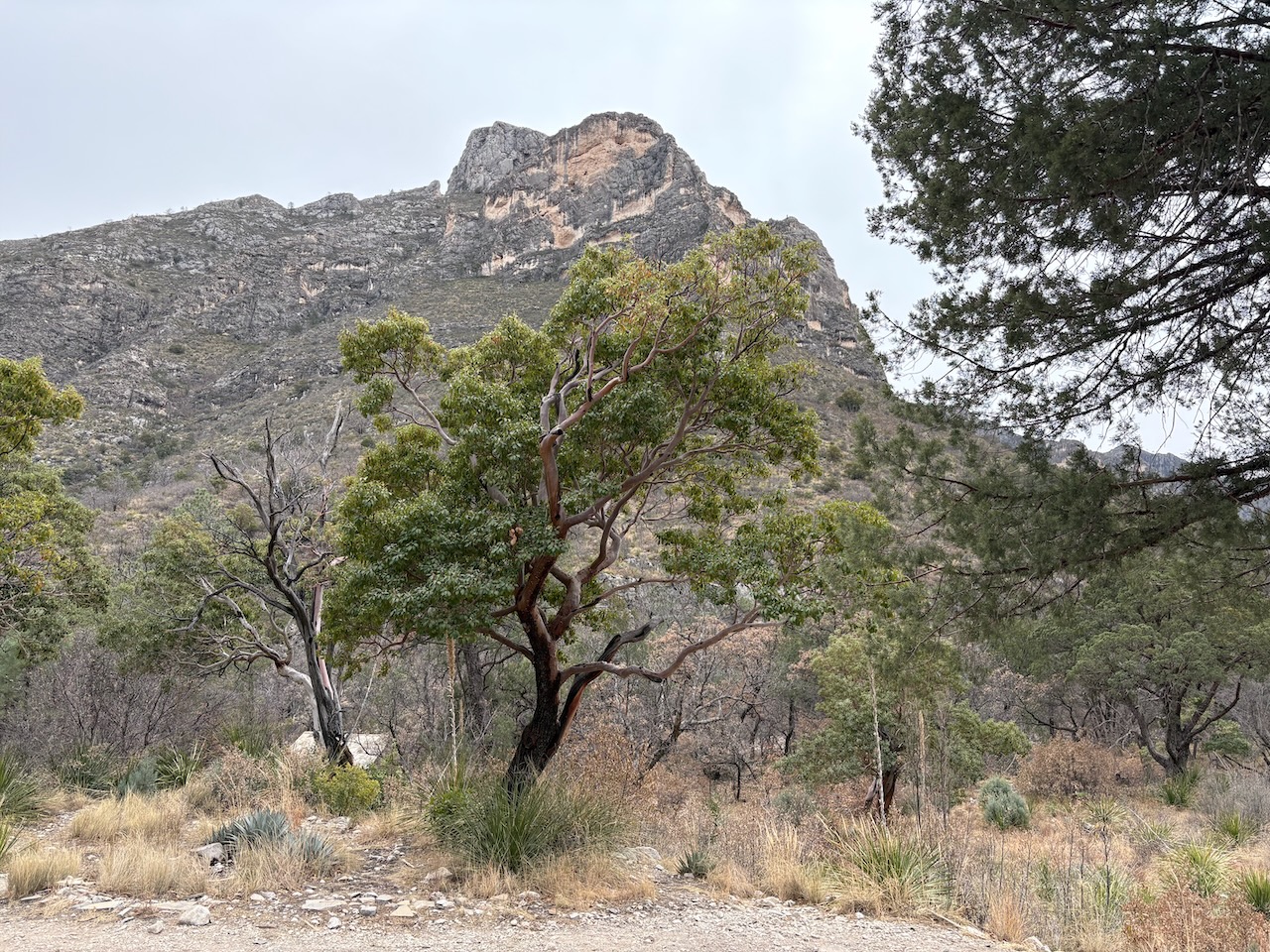
With the beauty of the mountains and comparatively lush plant-life, we can see why someone would want to build a
house way out here.
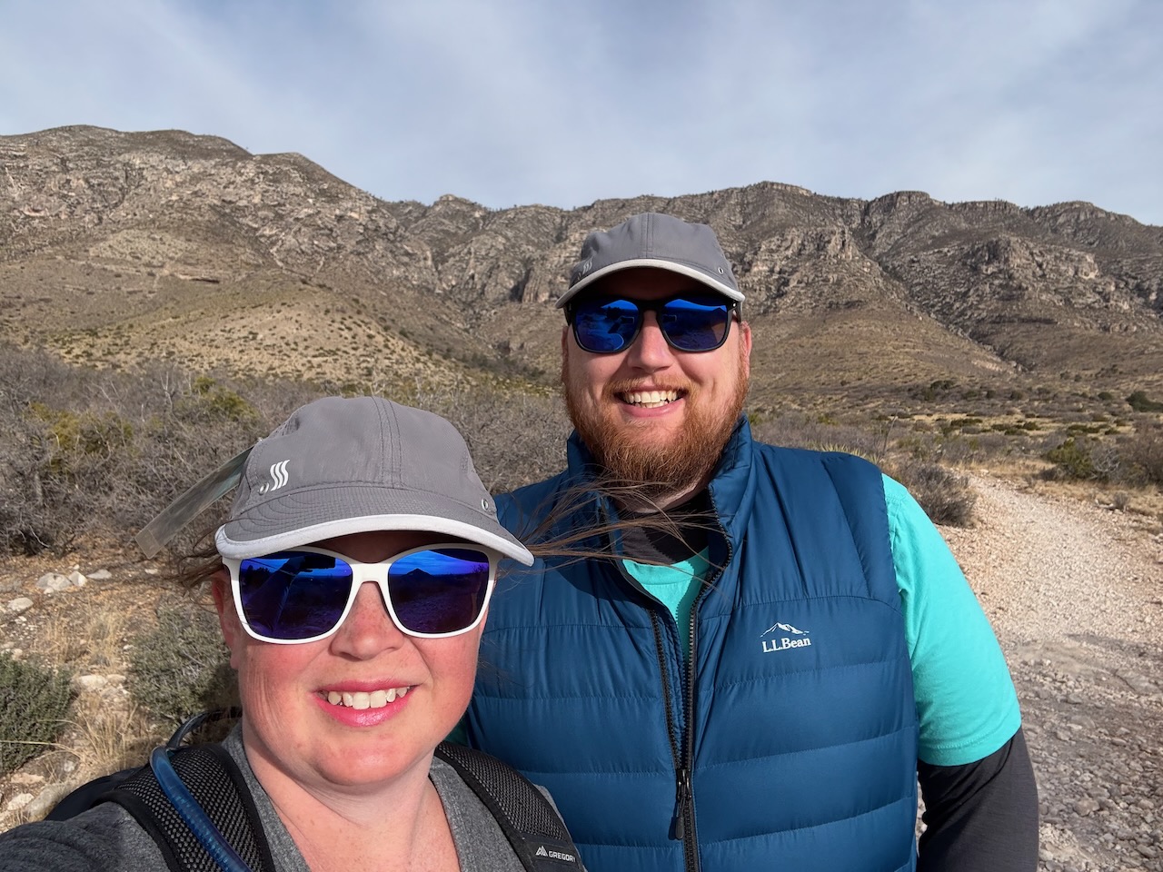
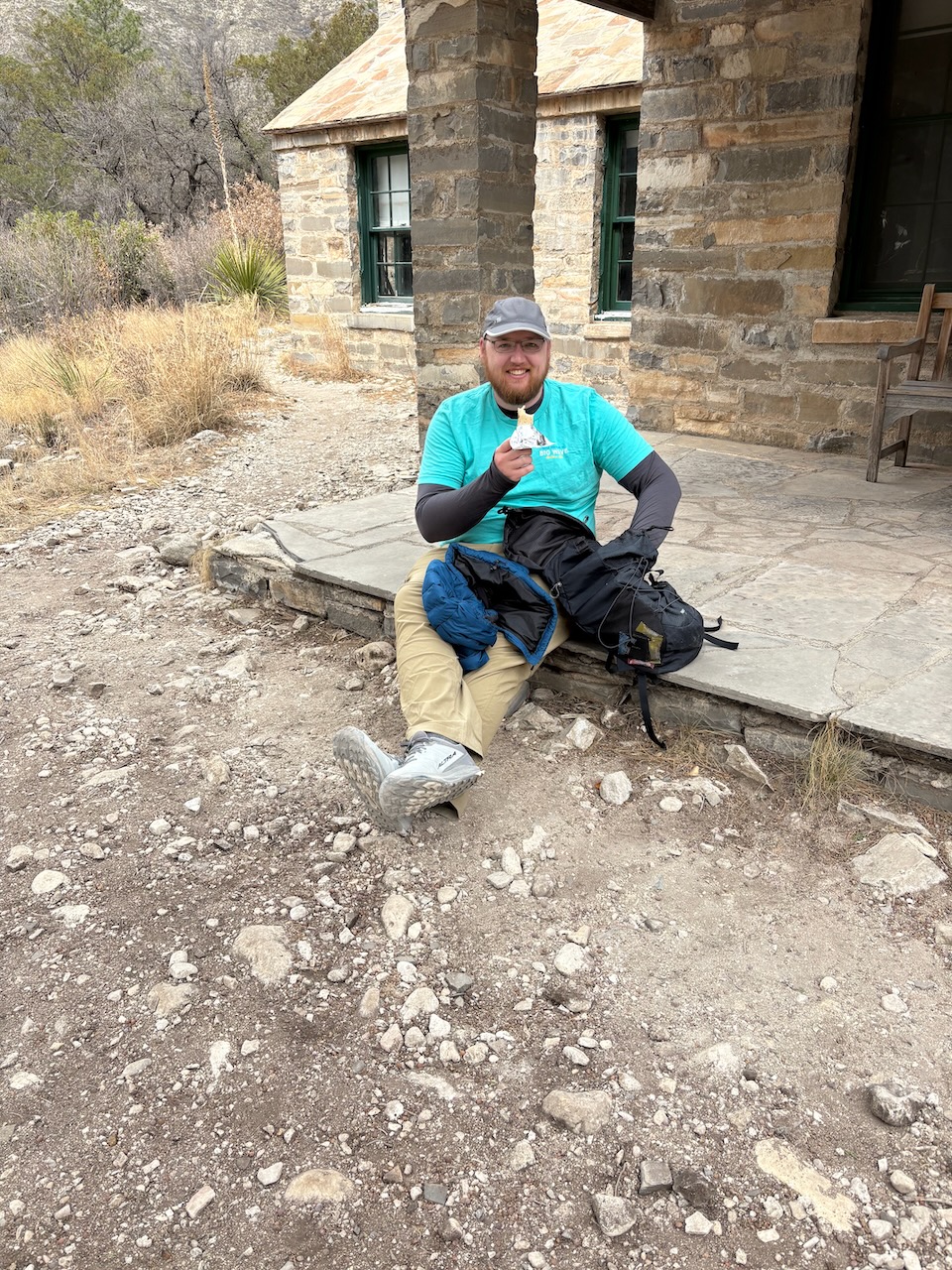
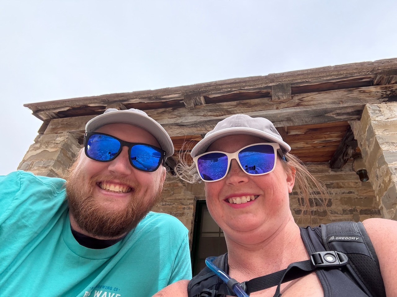
Cory was given an approved snack, and Sara took a selfie of us before we headed back down the trail the way we'd come.
Guadalupe Mountains was closed the next day due to extremely high winds. They were expecting gusts up to 100mph! Our tent managed to stay staked down that night despite the winds getting up to 70mph at our camp site, and from there we were able to continue on toward Big Bend National Park, TX.