A Valley of Wind and Death
06 Feb 2025
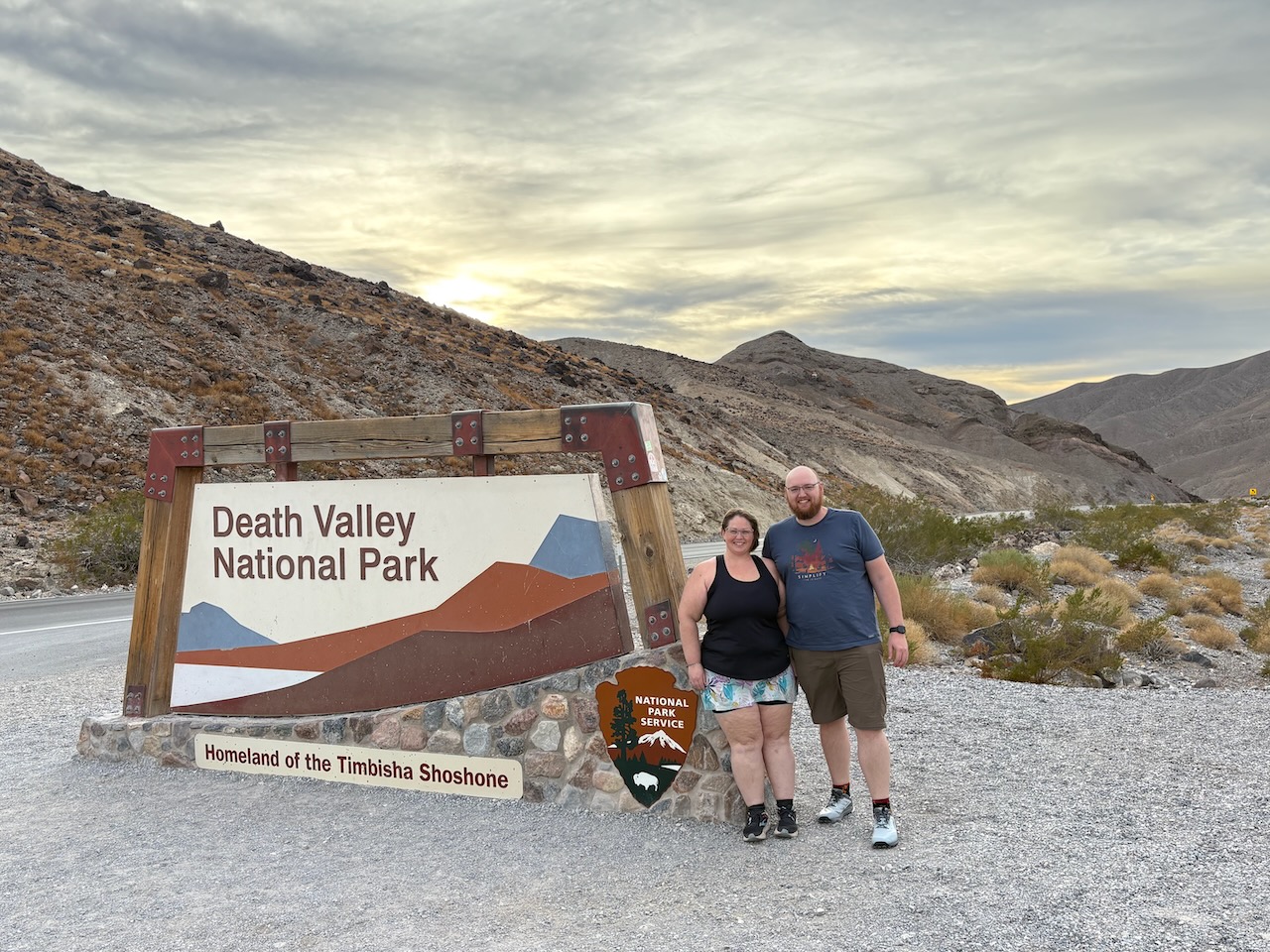
Westward we roamed, oe'r hills and dales, and oh, what's that? Welcome to Death Valley National Park, California!
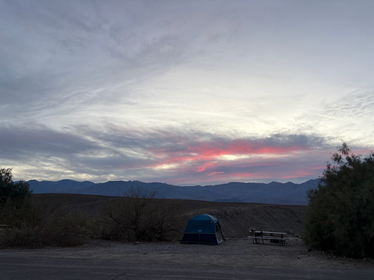
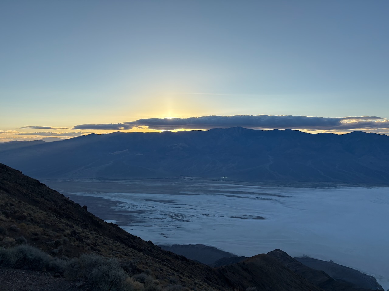
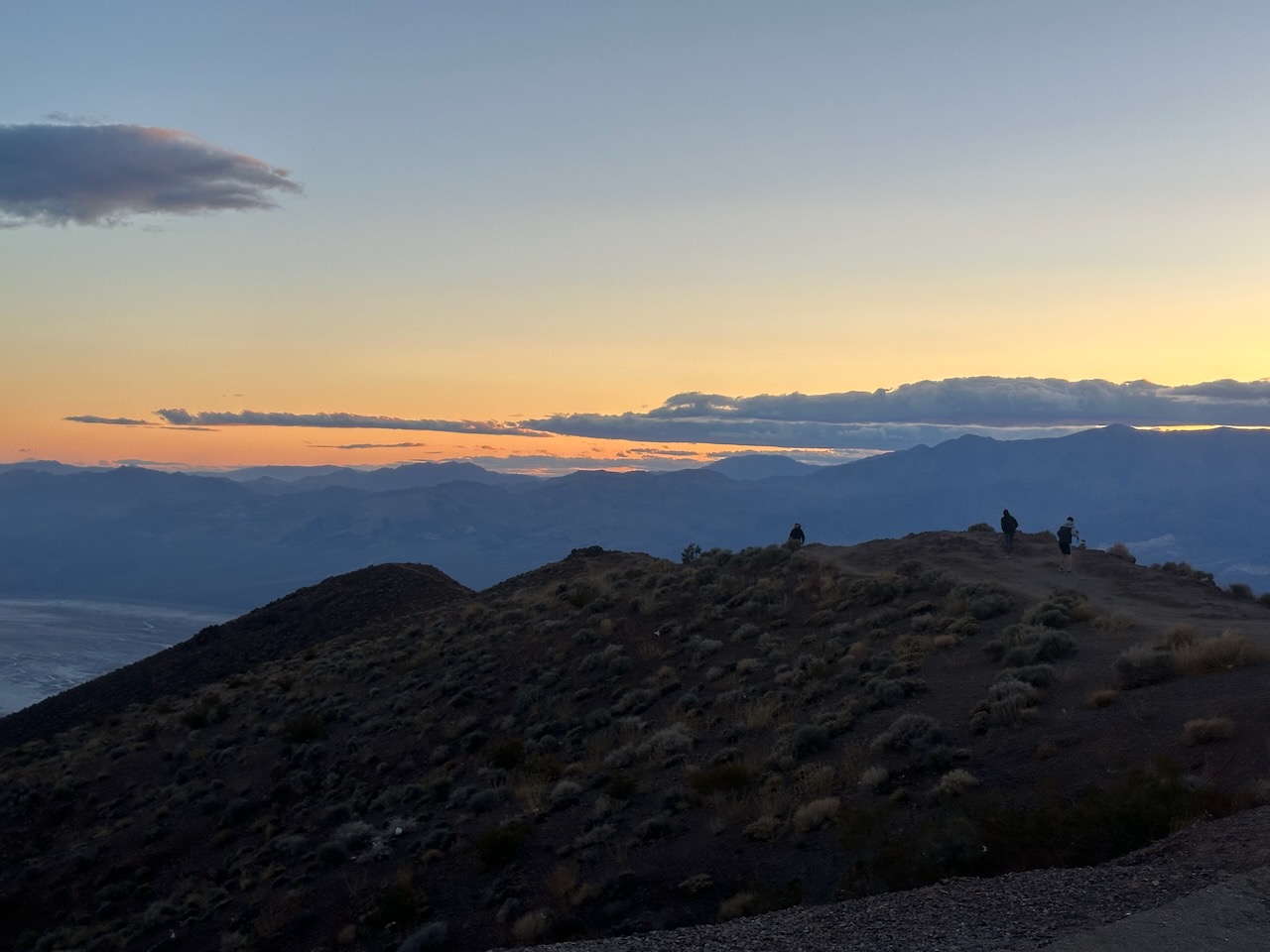
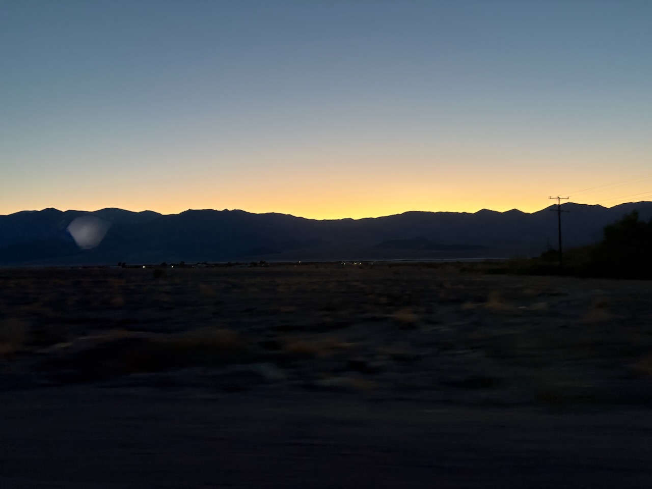
We arrived just as the sun was setting, so we set up camp and snapped a photo of the clouds in sunset.
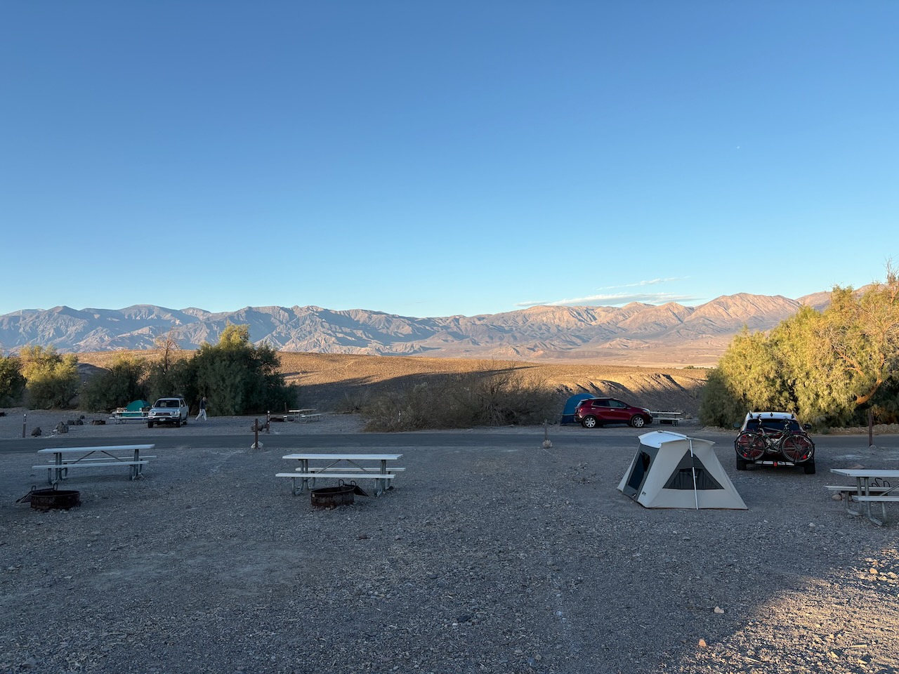
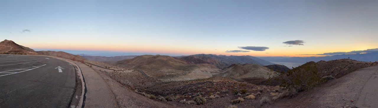
The morning came and it was gloriously warm. The warmest weather we've had all trip! We got a better view of our
awesome view from camp too.
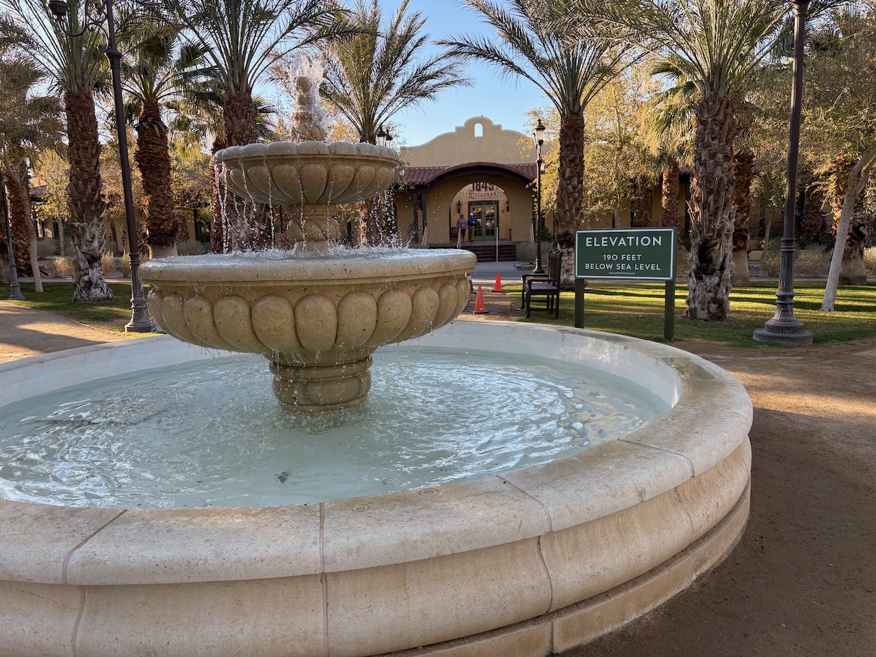
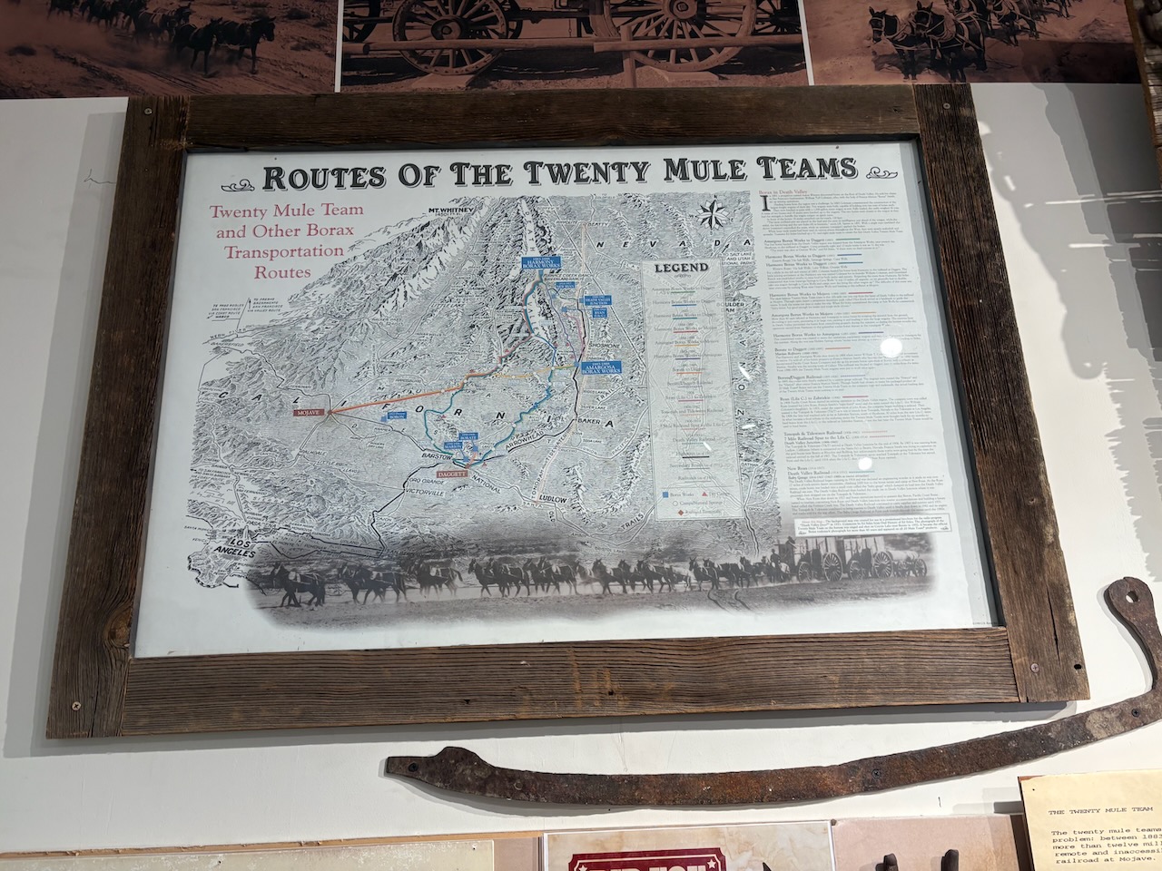
We headed into town, which is very weird. Apparently the town was originally a mining town for Borax, but when
that died, the owners turned it into a tourist resort. At this point, the tourist resort still stands, stewarded by
the National Park Service. It's opulent for a place called "Death Valley"
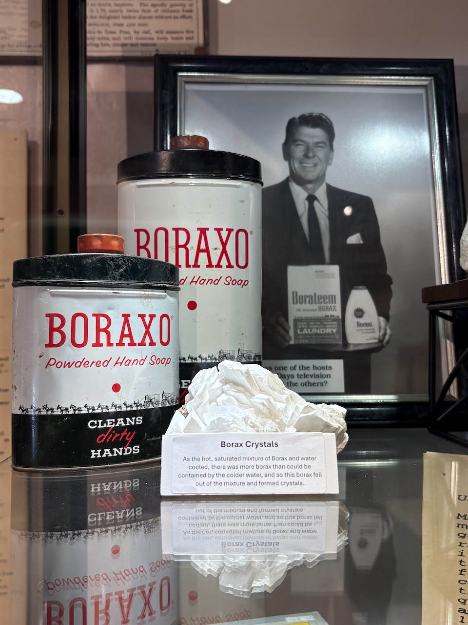
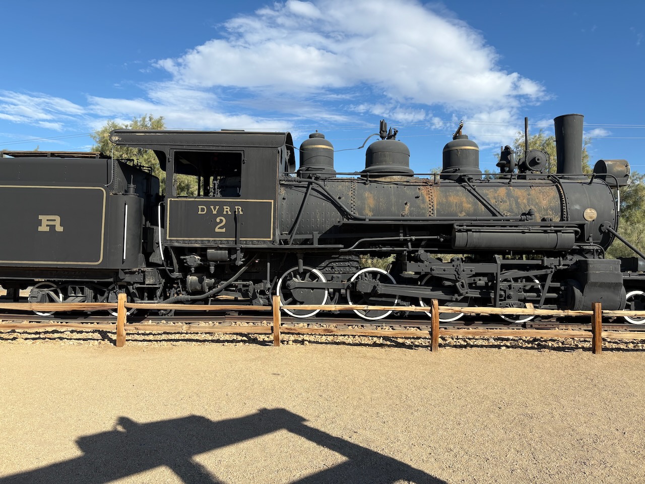
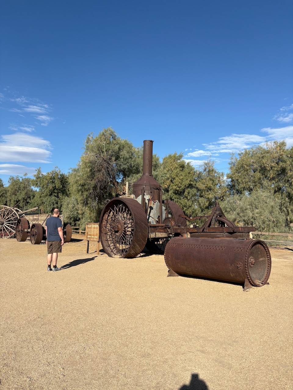
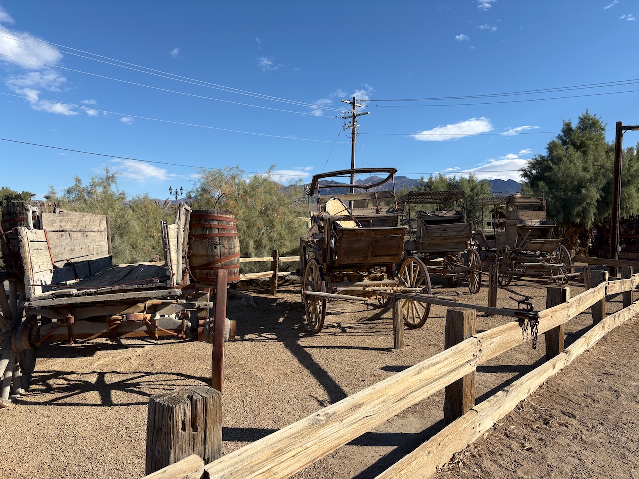
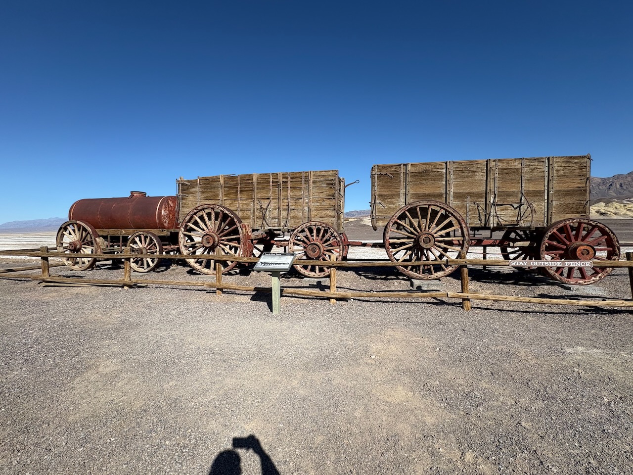
We visited the museum in the little town and saw all sorts of interesting machinery from the borax mining
days.

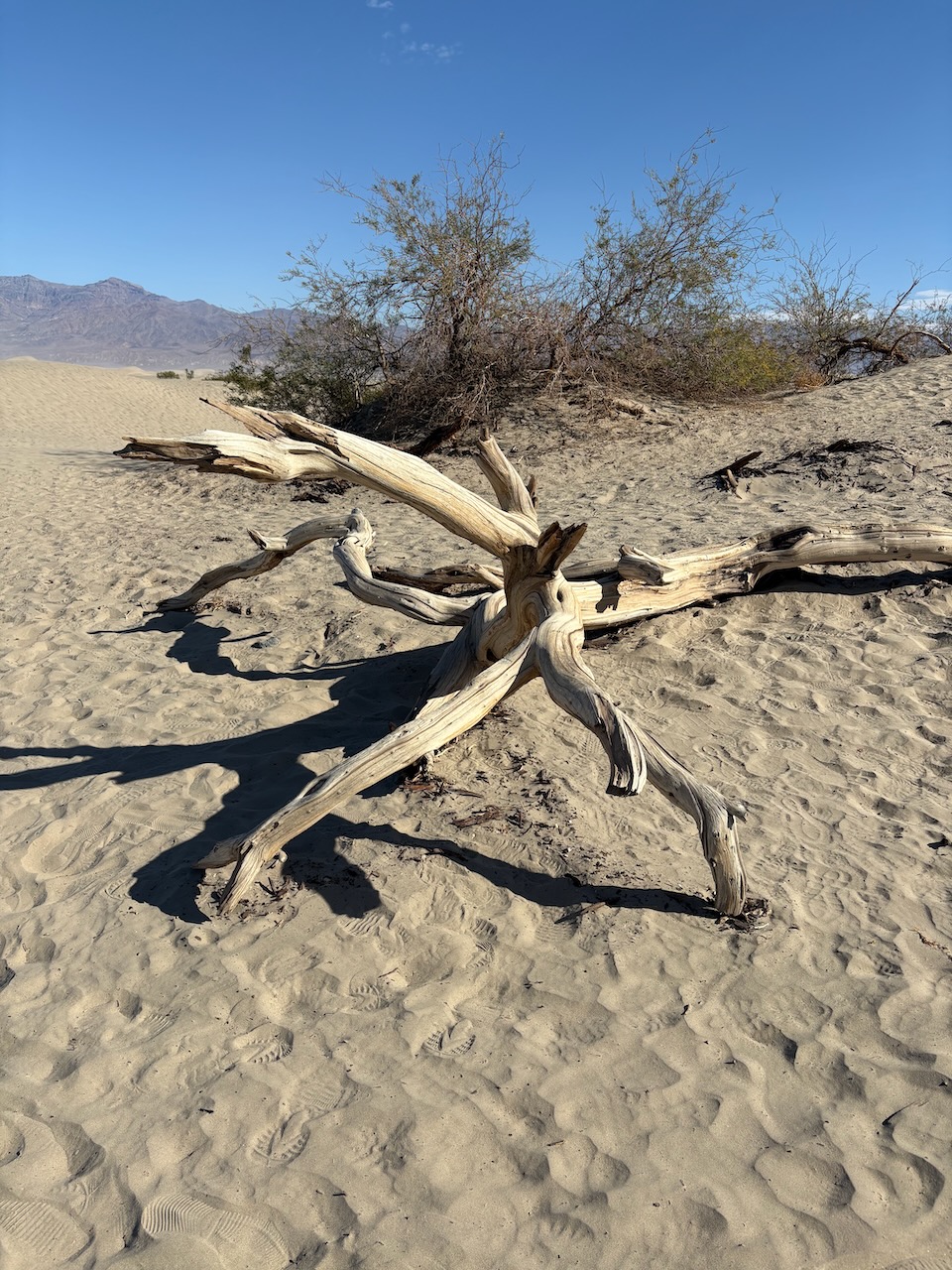
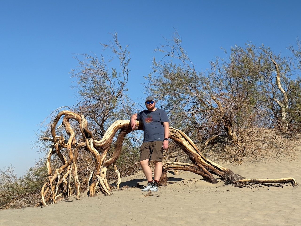
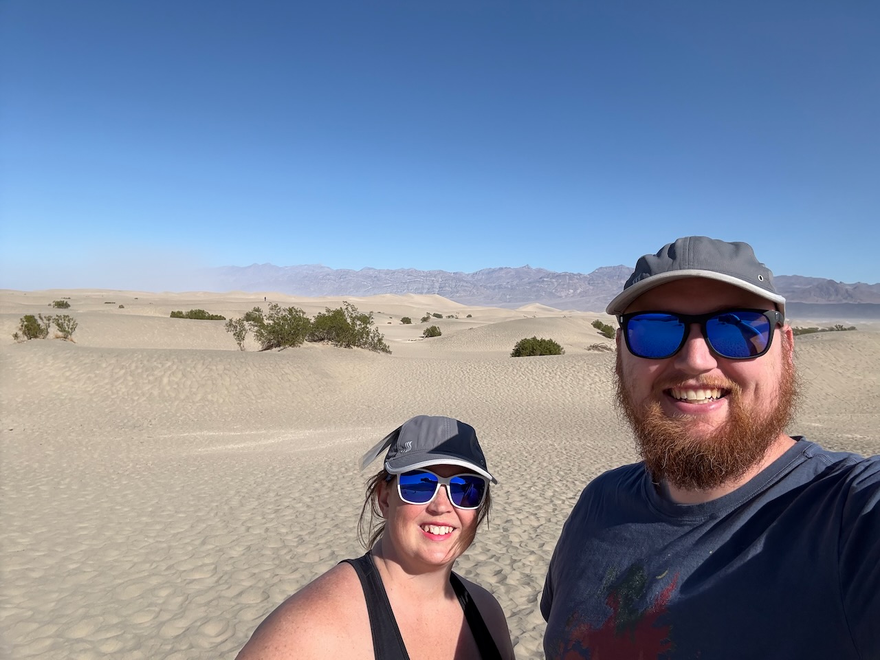
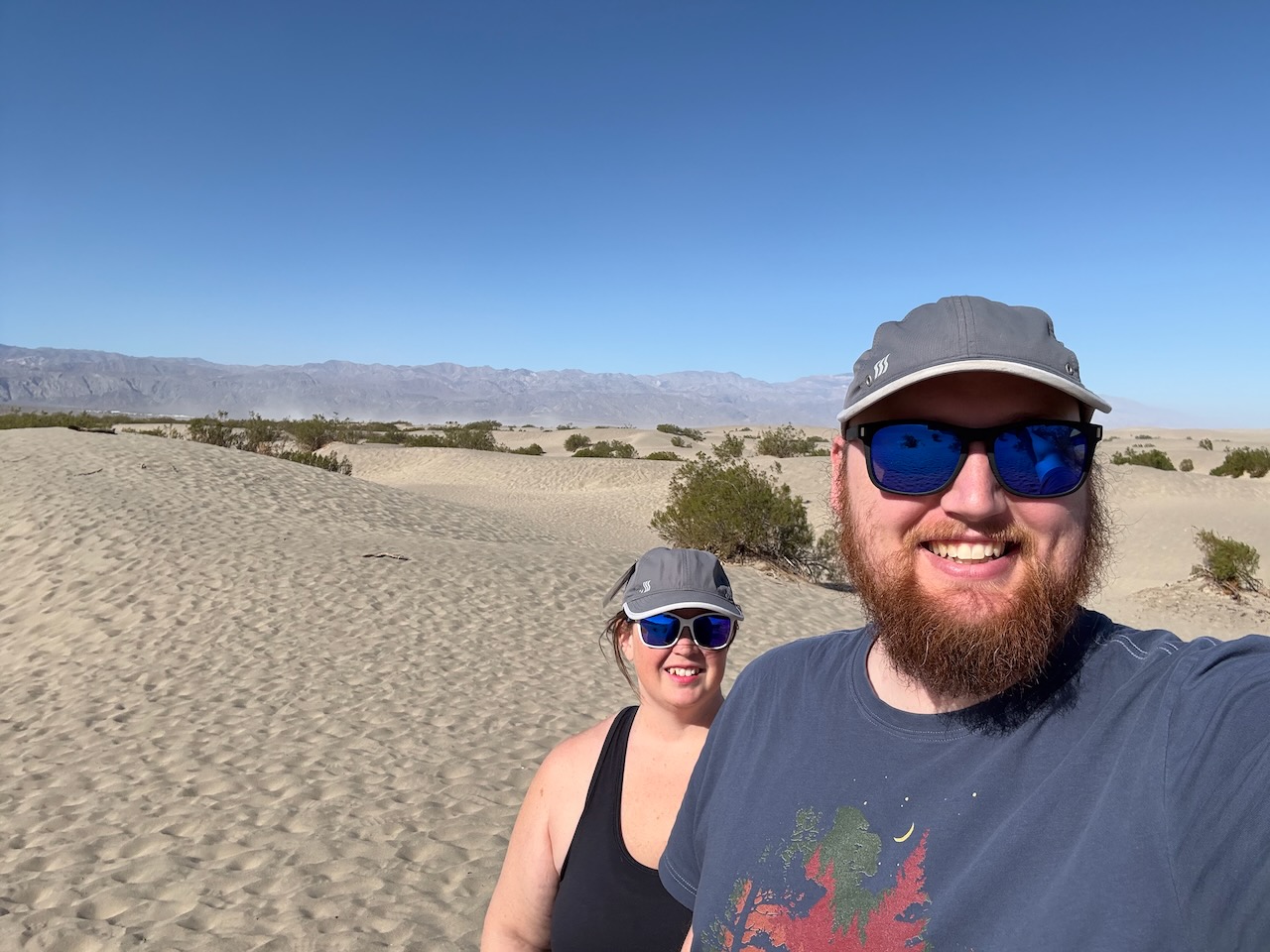
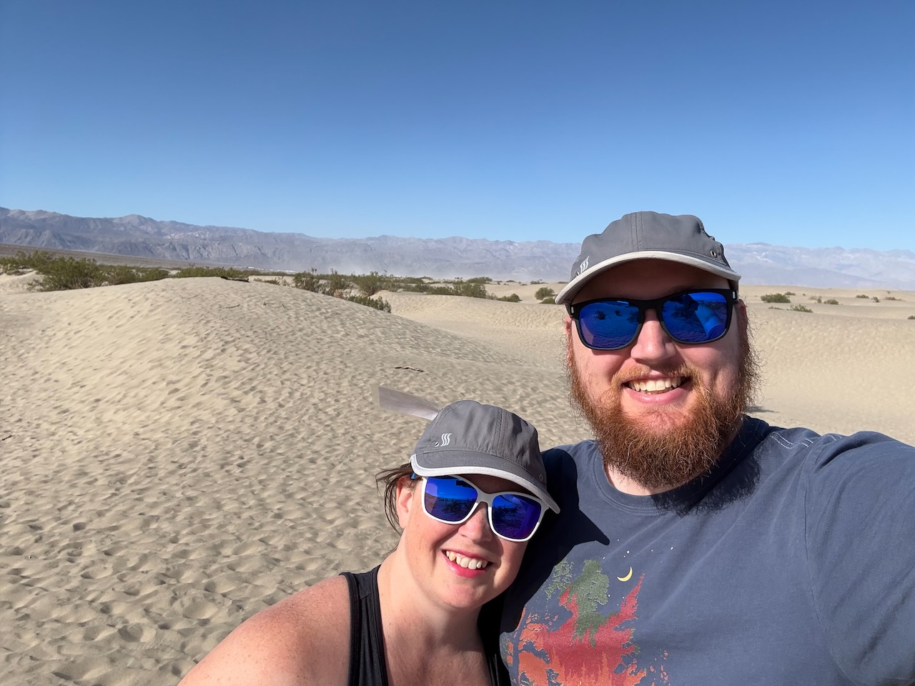
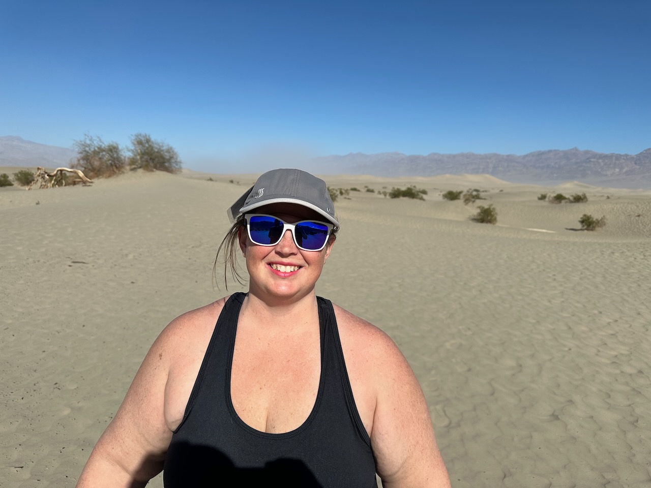
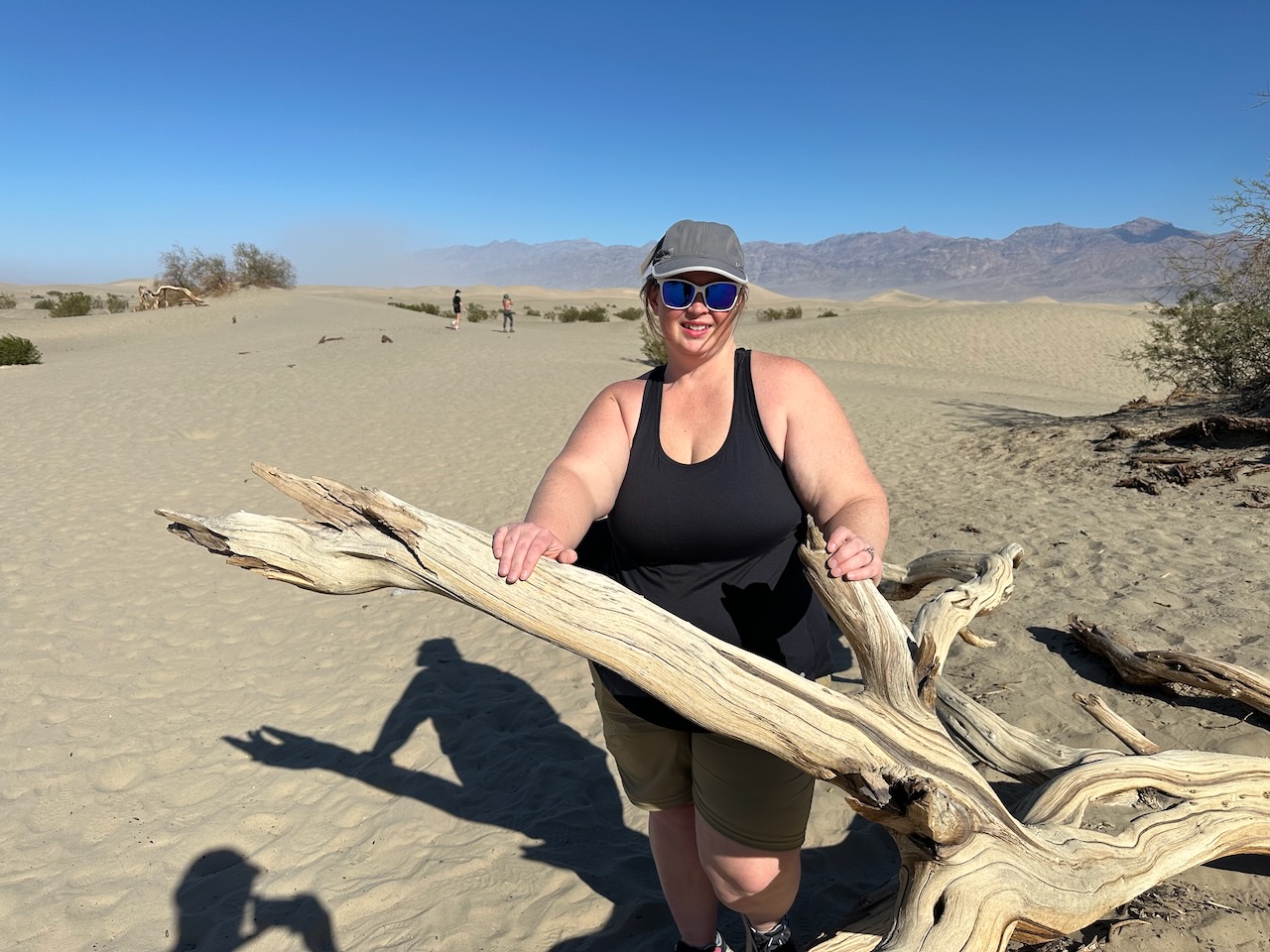
The morning was still young so we wanted to go up to the Ubehebe Crater, but missed our turn and wound up at
the Mesquite Sand Dunes.
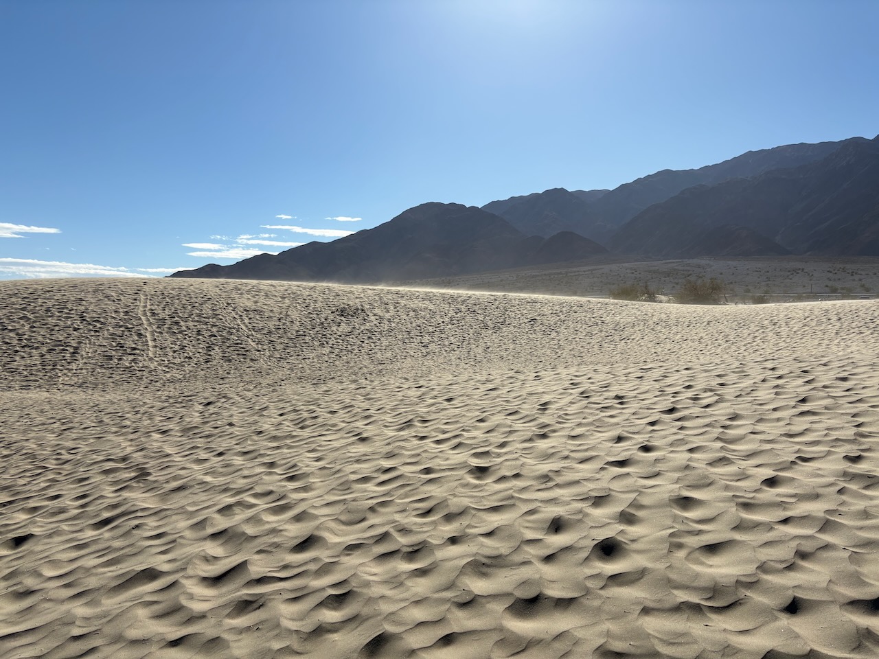
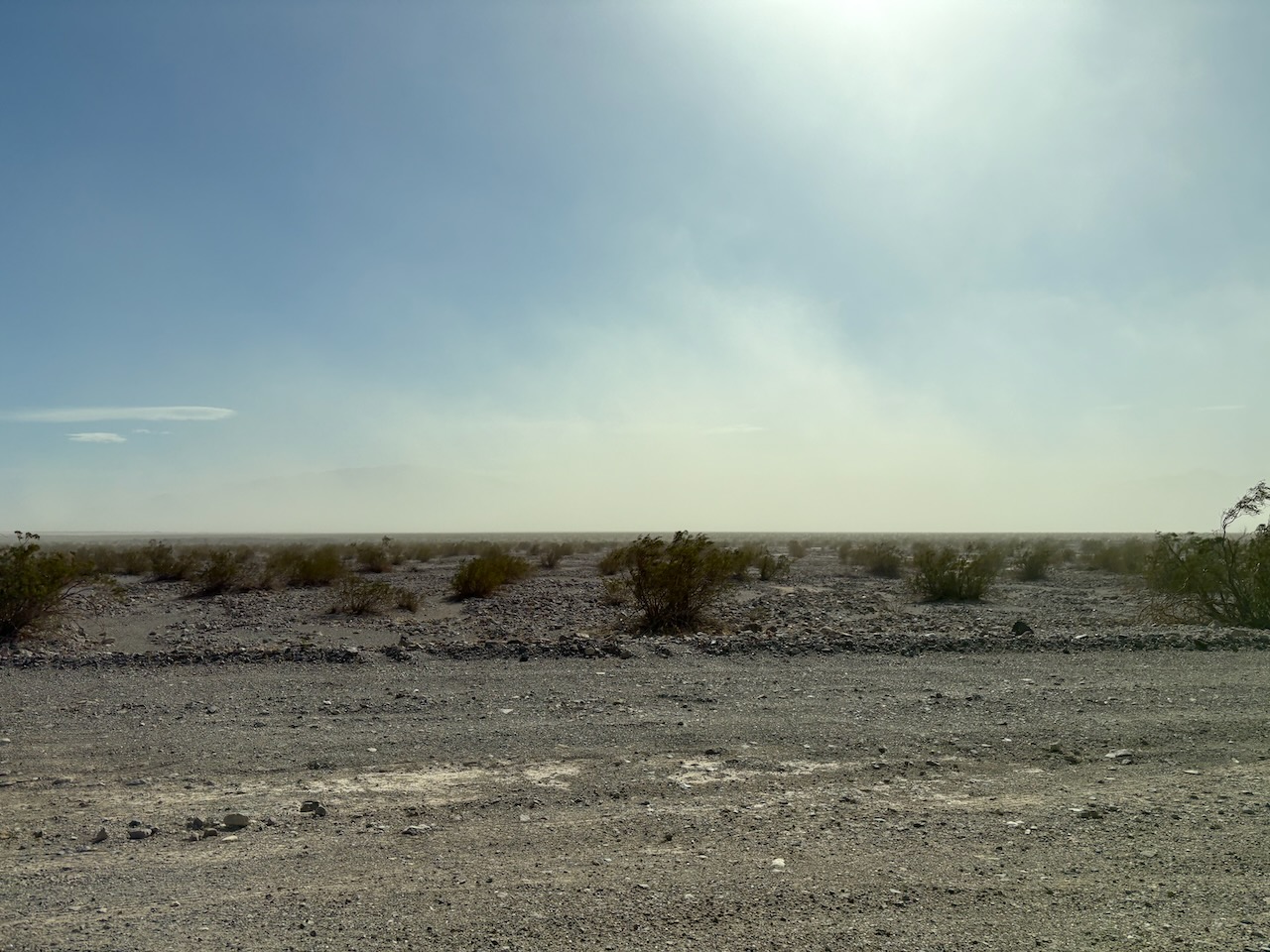
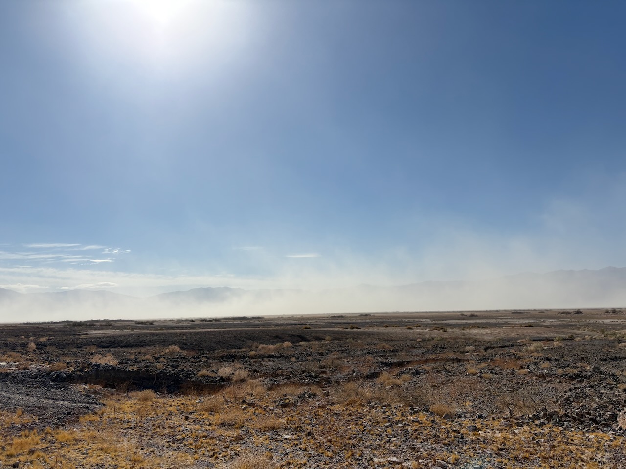
We turned around and headed up the correct road to the crater and saw the wind was starting to kick up around the
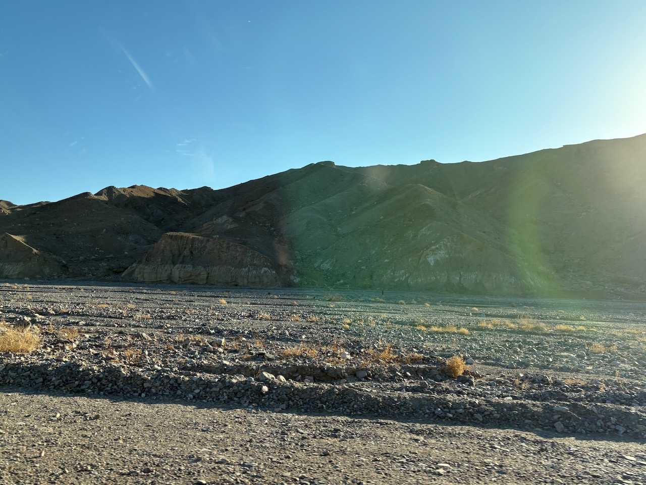
dunes. We also caught some new rock formations. This desert has way more rocks than sand it seems.
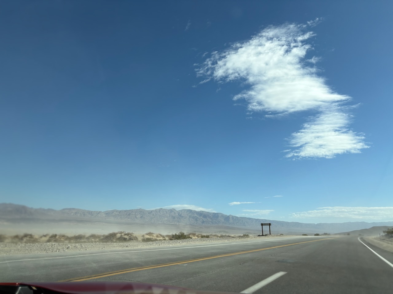
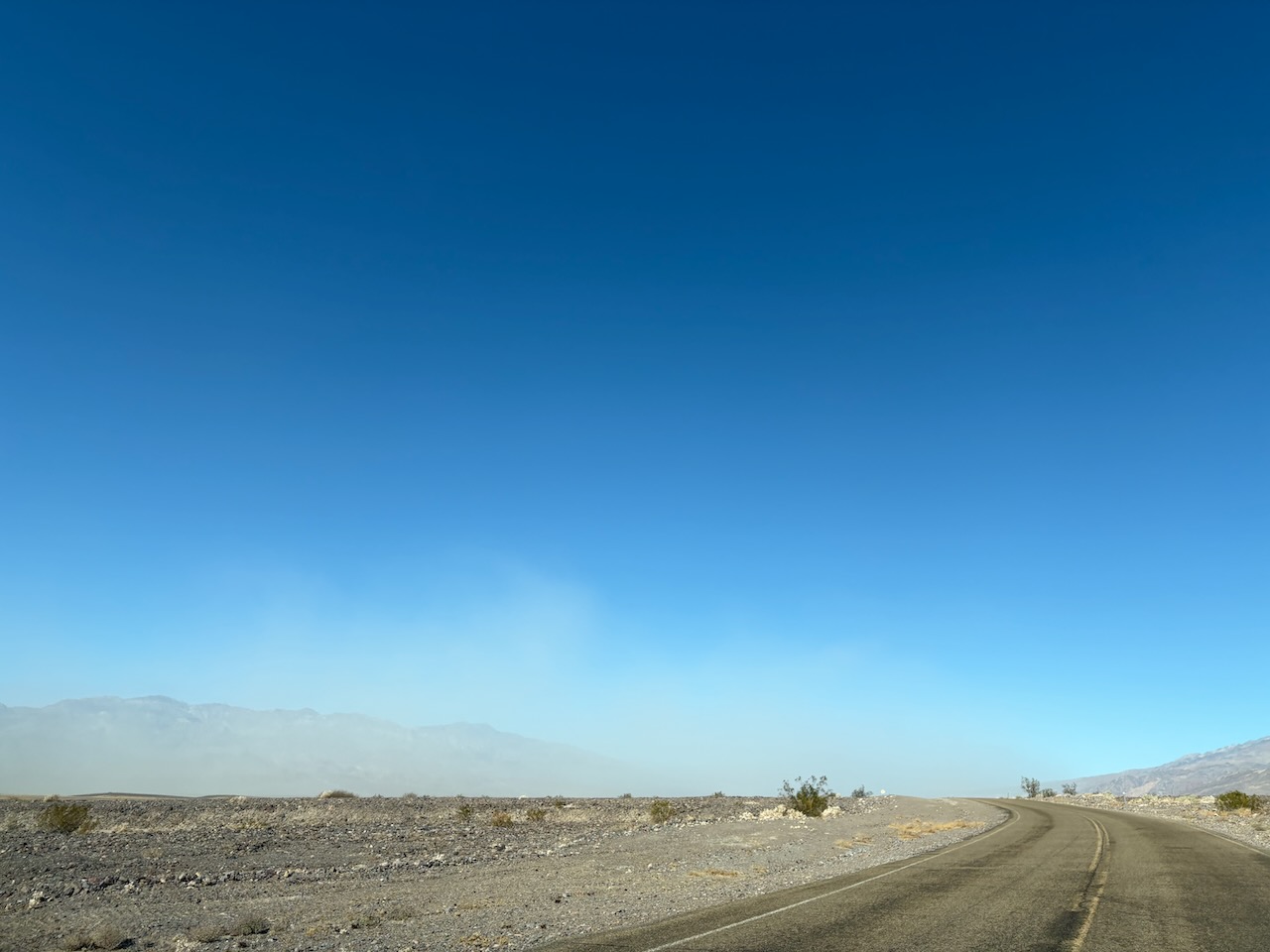
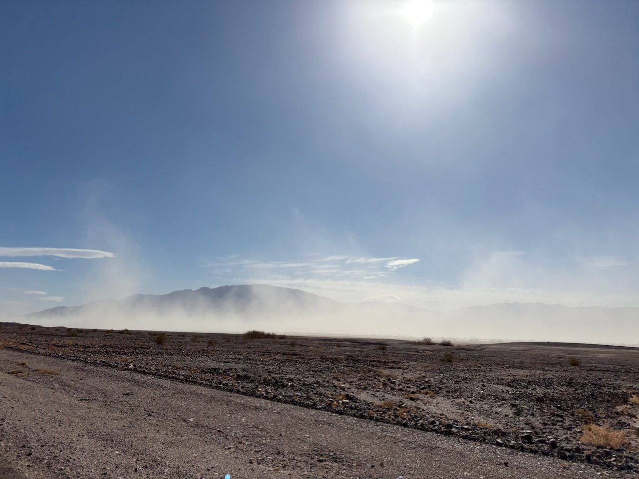
As we continued on, we saw the sand was being kicked up into a storm further on.
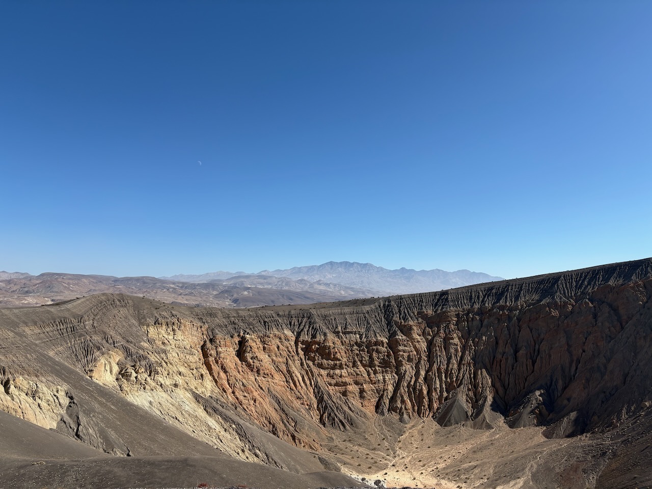
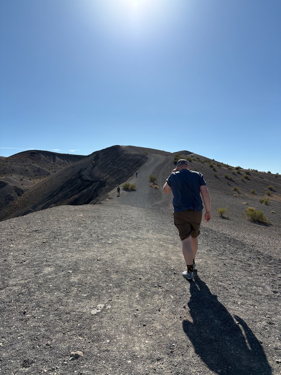
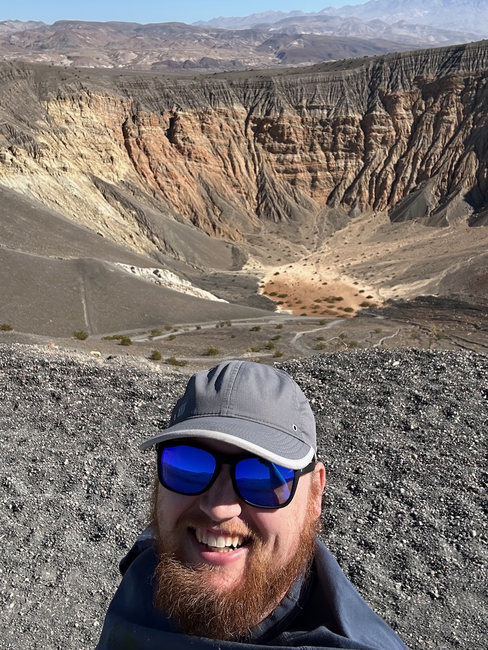
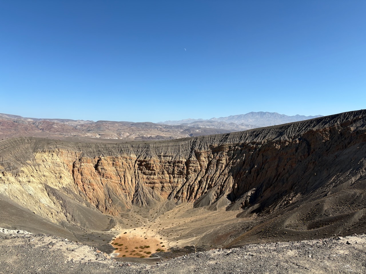
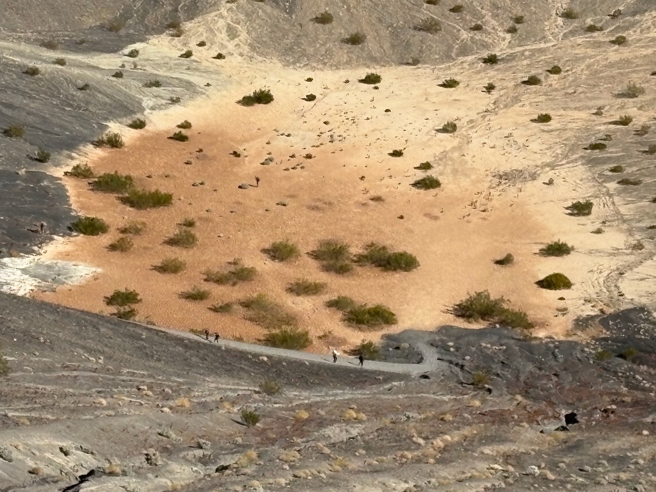
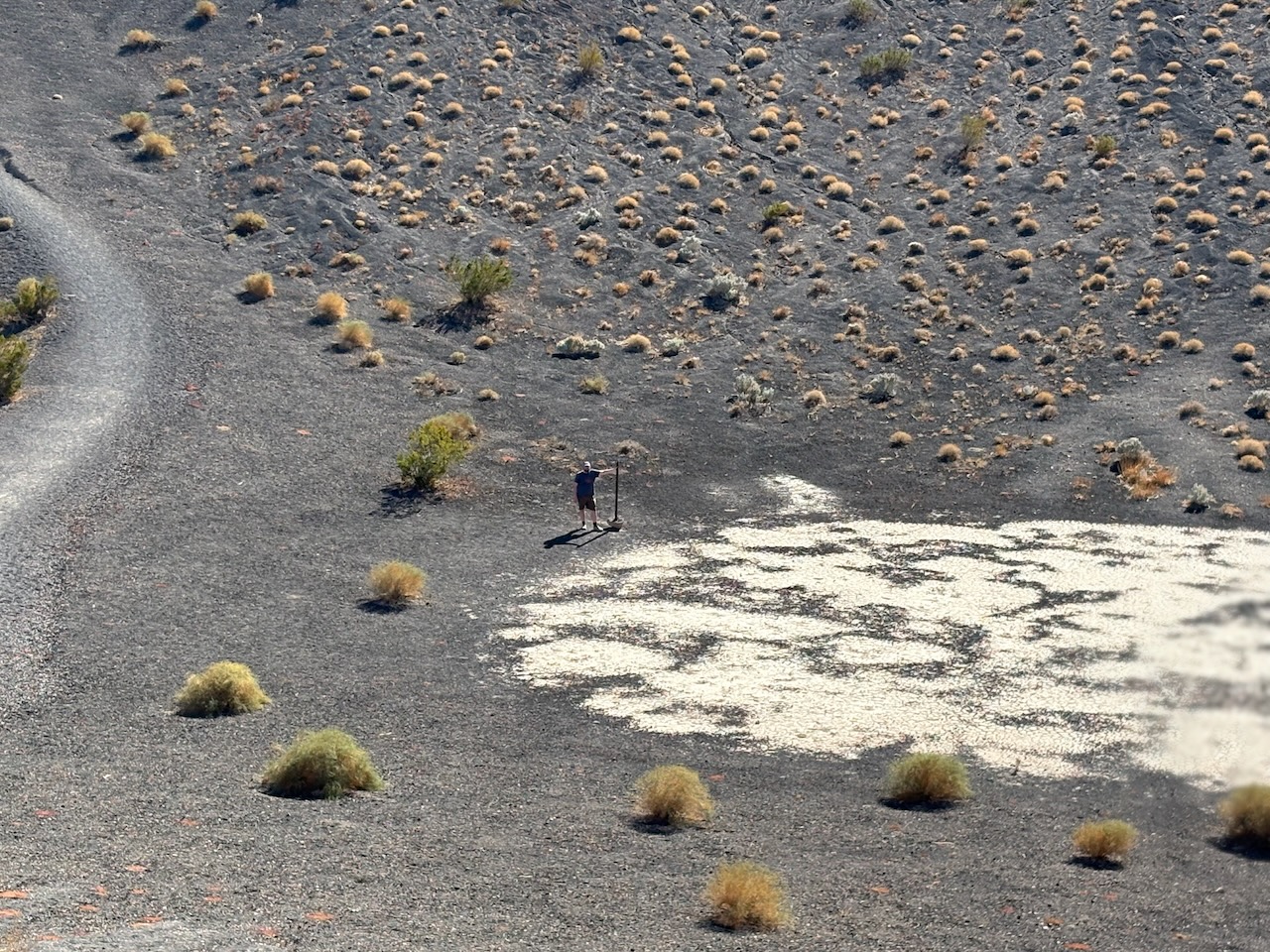
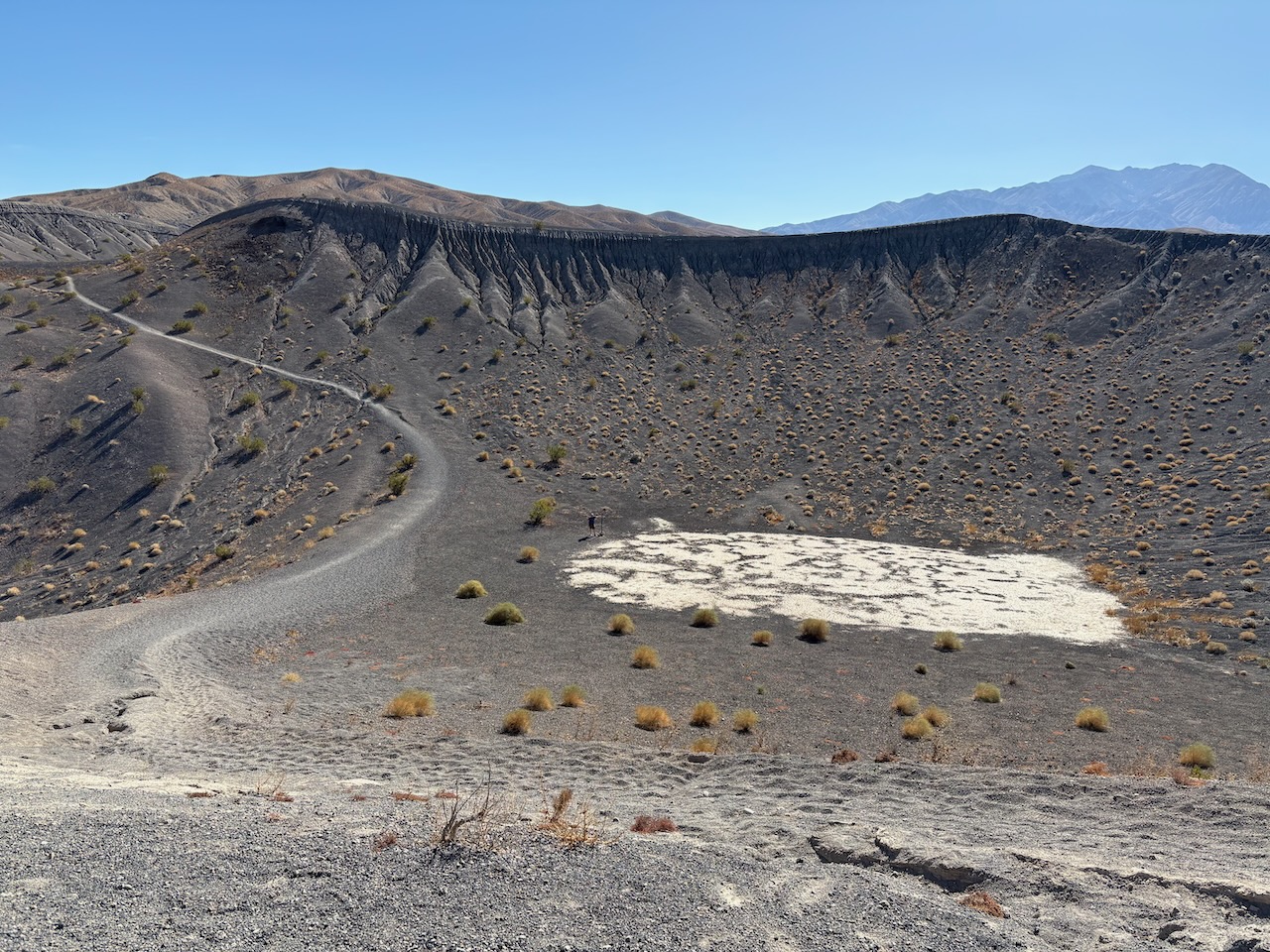
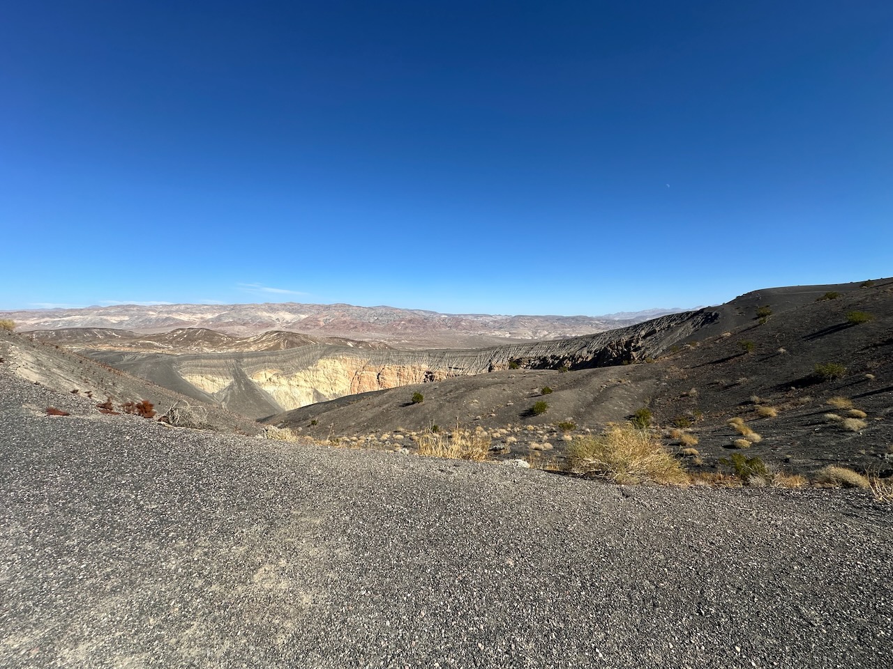
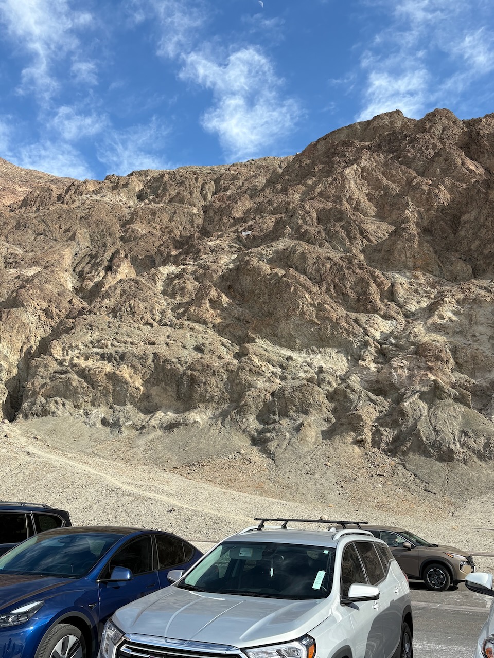
Ubehebe Crater itself was an impressive sight, 600 feet of blown out crater. The formation of it threw debris
miles away from the center here.
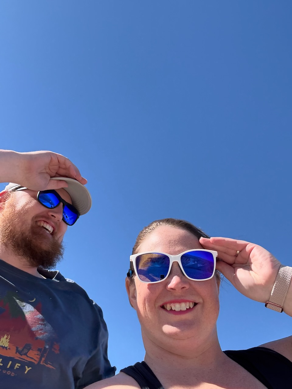
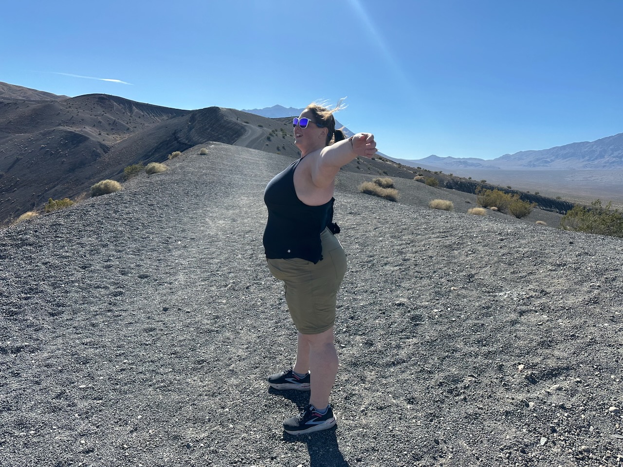
While we weren't in the middle of the sandstorm we'd seen, the wind had finally caught up to us. We could hardly move without having to hold our hats and glasses on.
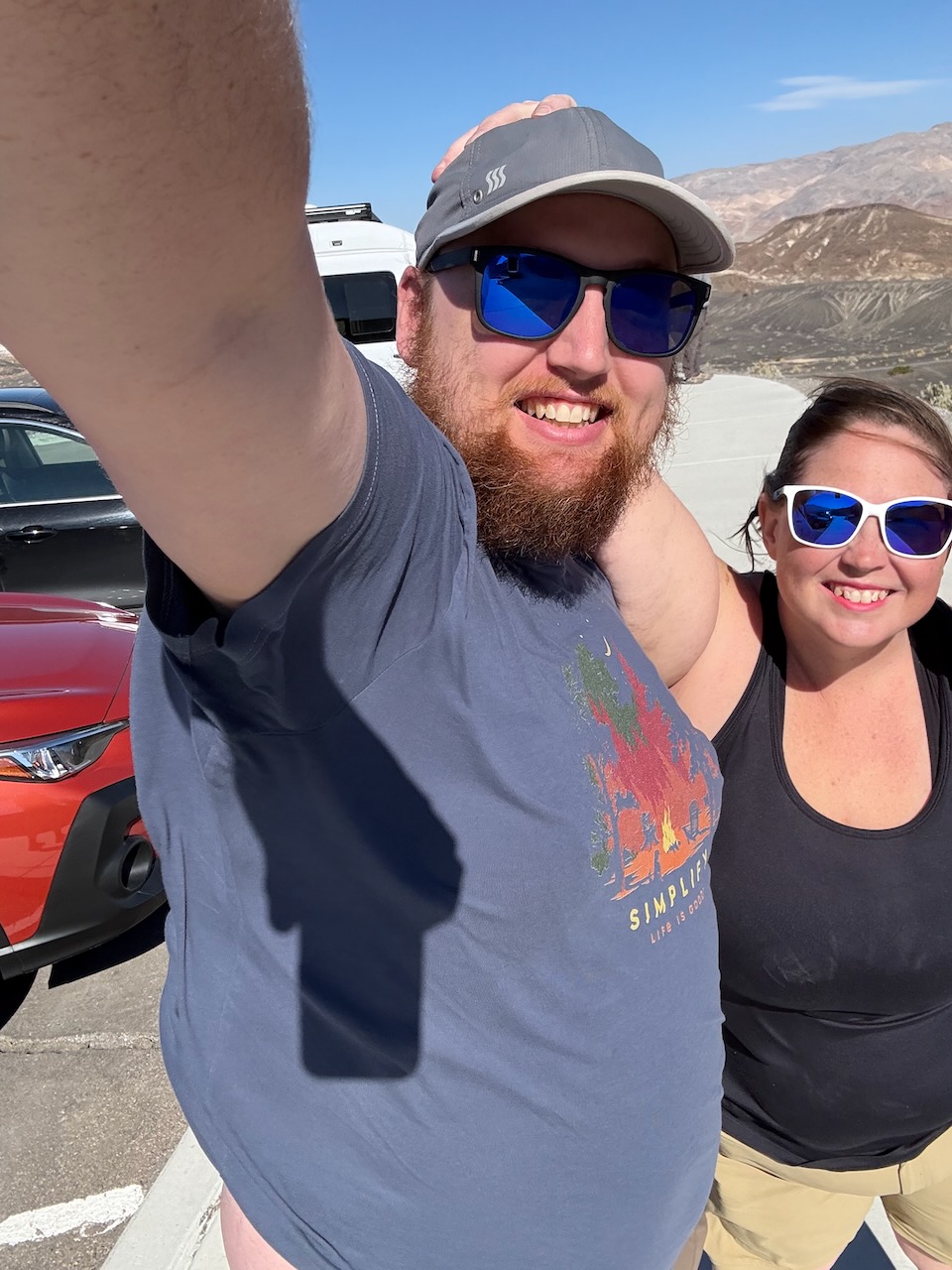
We did get some cool photos of the big crater though.

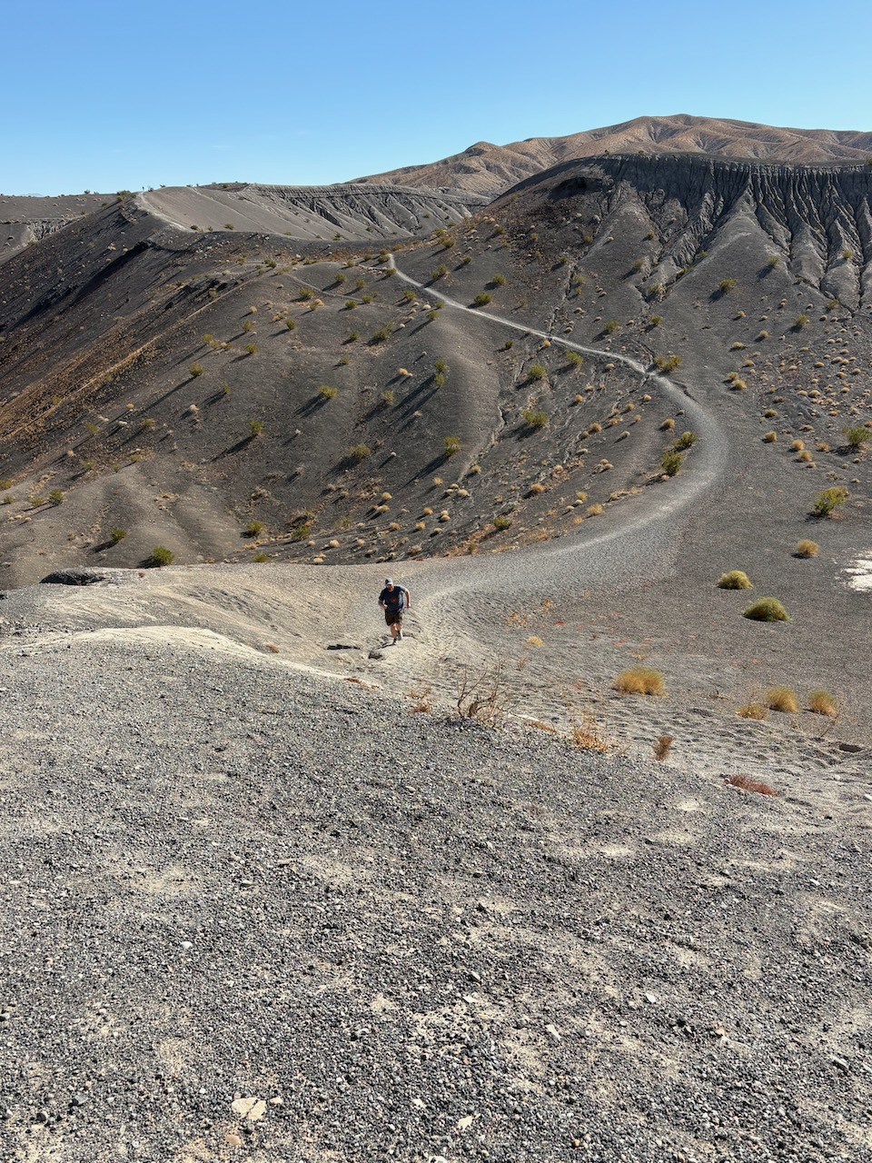
We hiked over to a smaller crater that was only 100 feet deep, and Cory decided it'd be fun to hike down into
it.
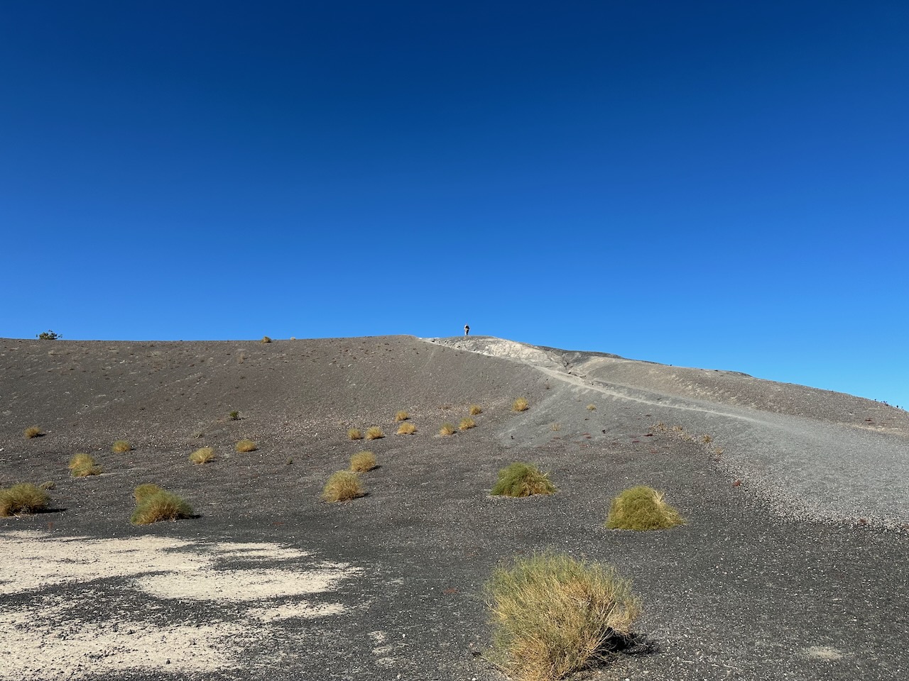
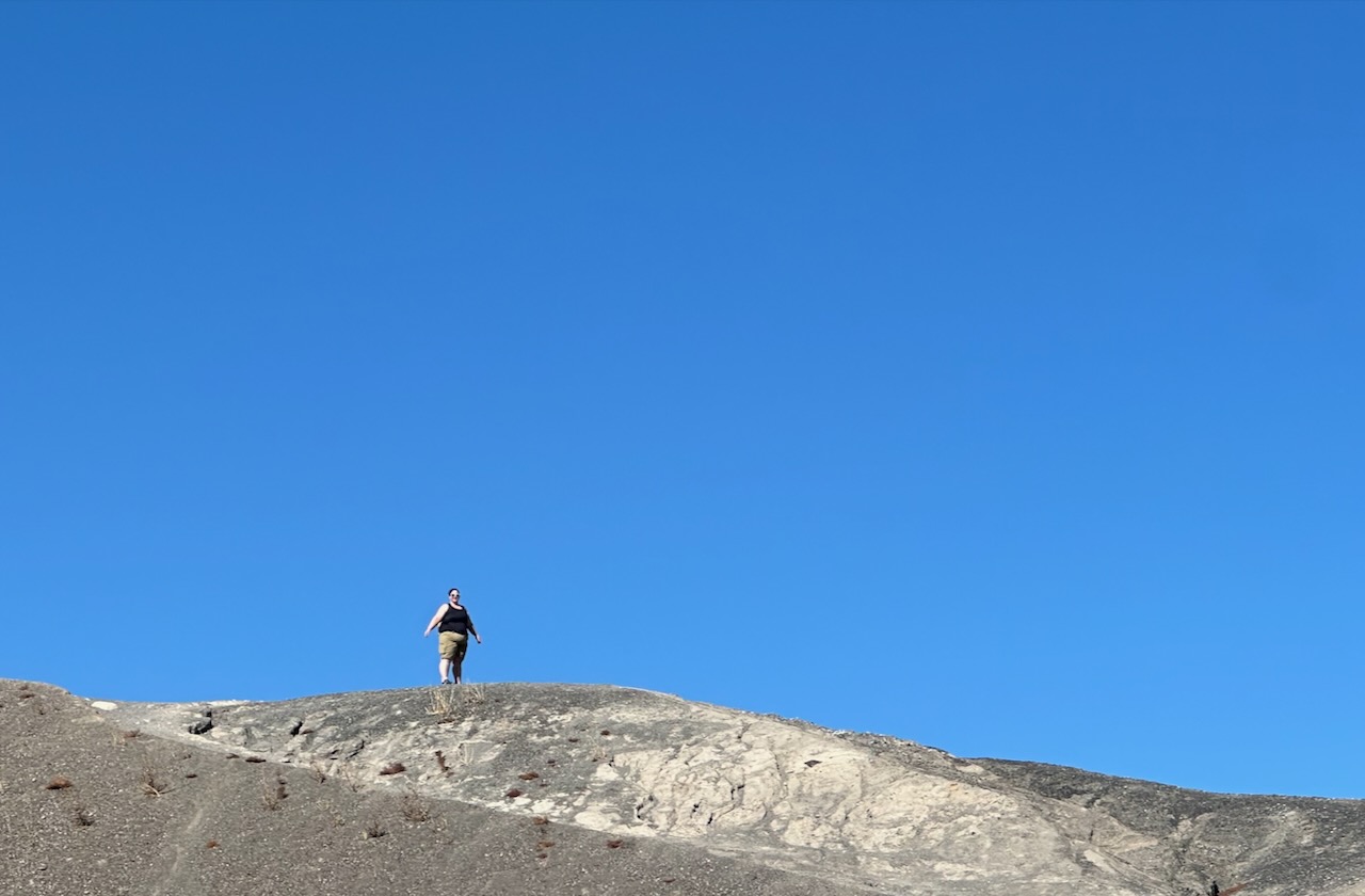
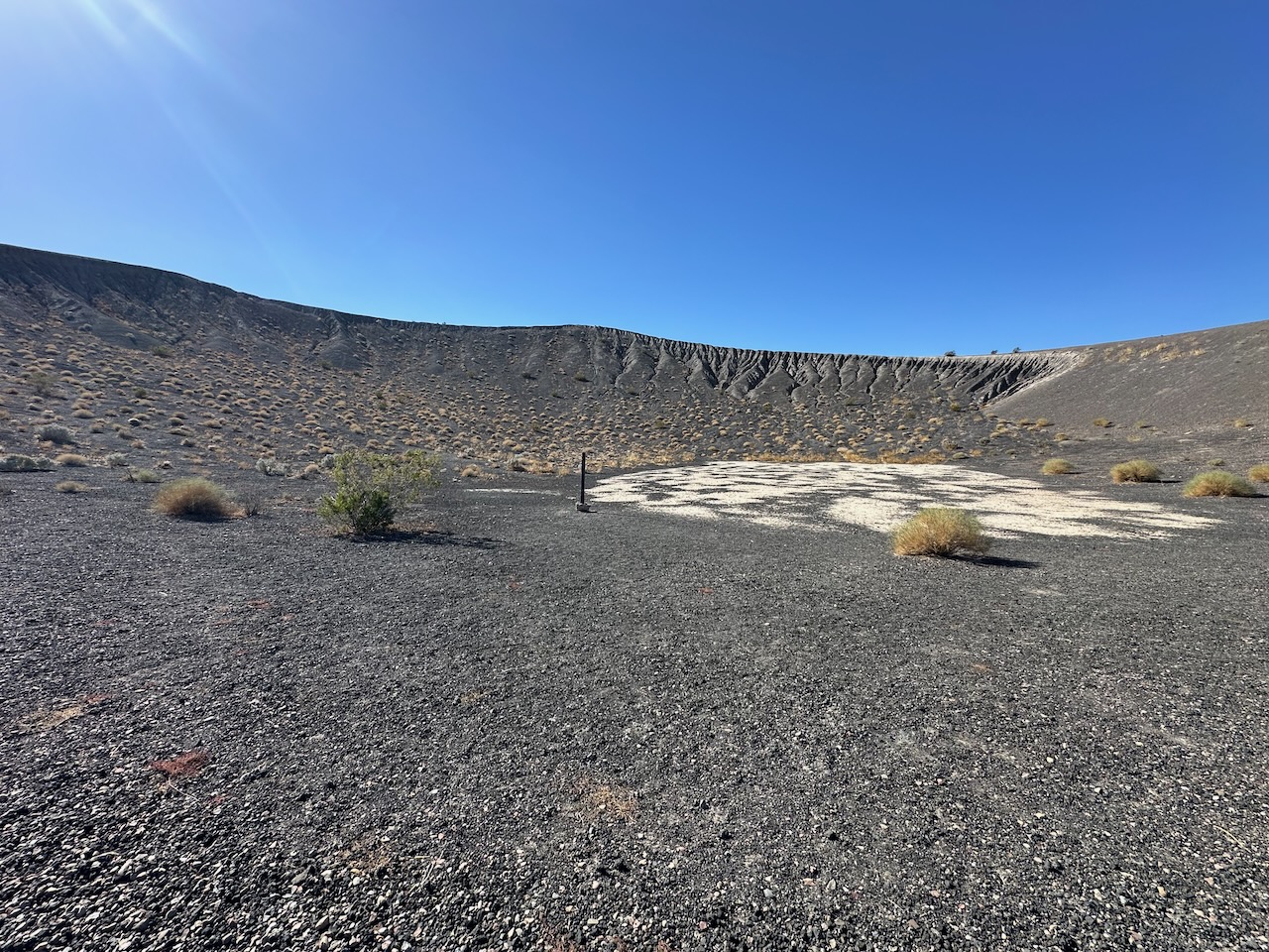
He didn't think about the fact that he'd have to climb back out...
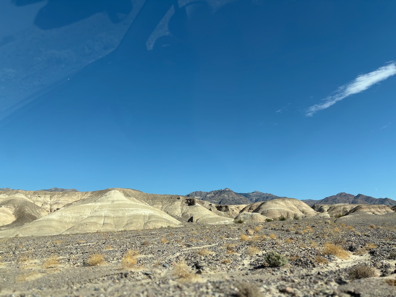
Huffing and puffing almost as hard as the wind, we carried on back south to go visit Badwater Basin. But we discovered some flora that we had to document on the way.
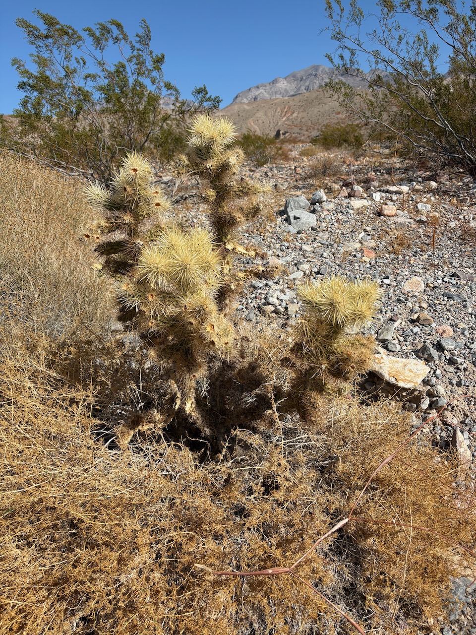
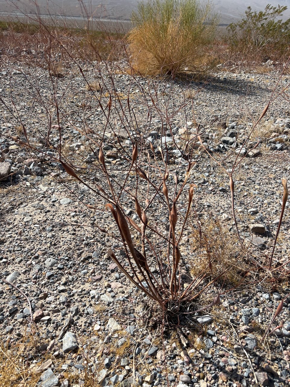
 Desert Flora
The first image here is of the Teddybear Cholla. Packrats use it to pack the entrance of their den to protect from predators.
The second is of a Desert Trumpet, which was used as a smoking pipe by early settlers.
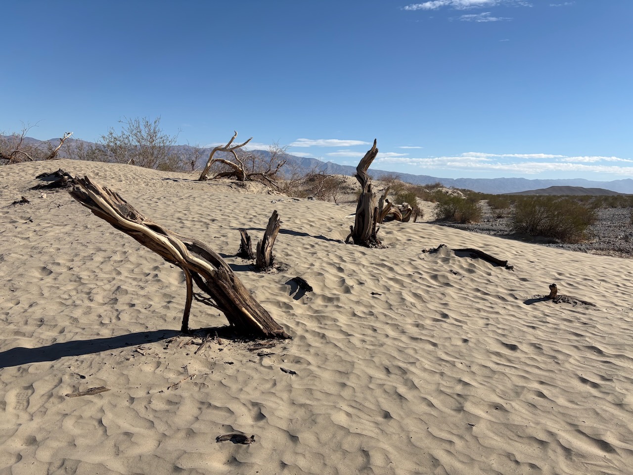
We got to pass back by the sandy dunes as well.
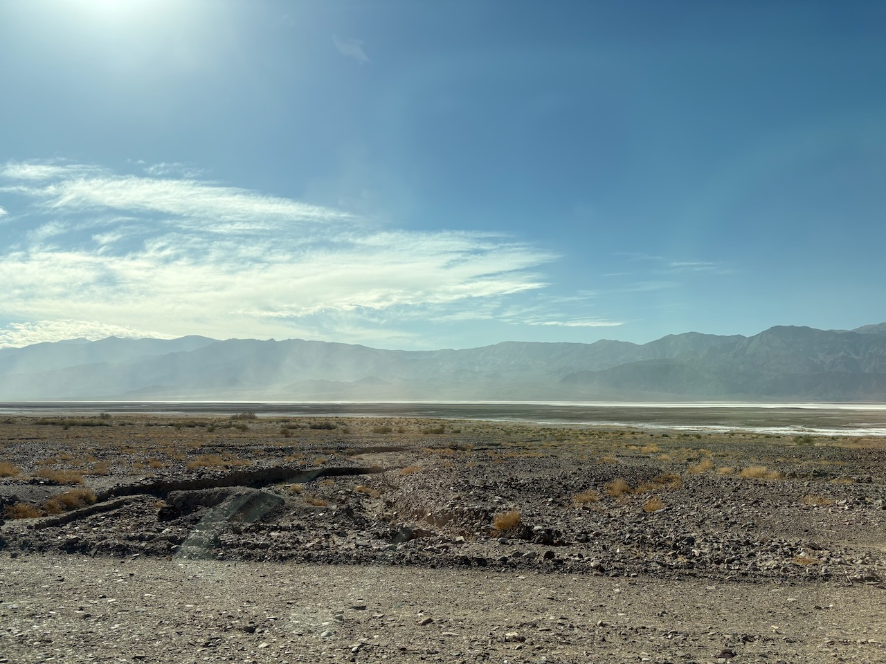
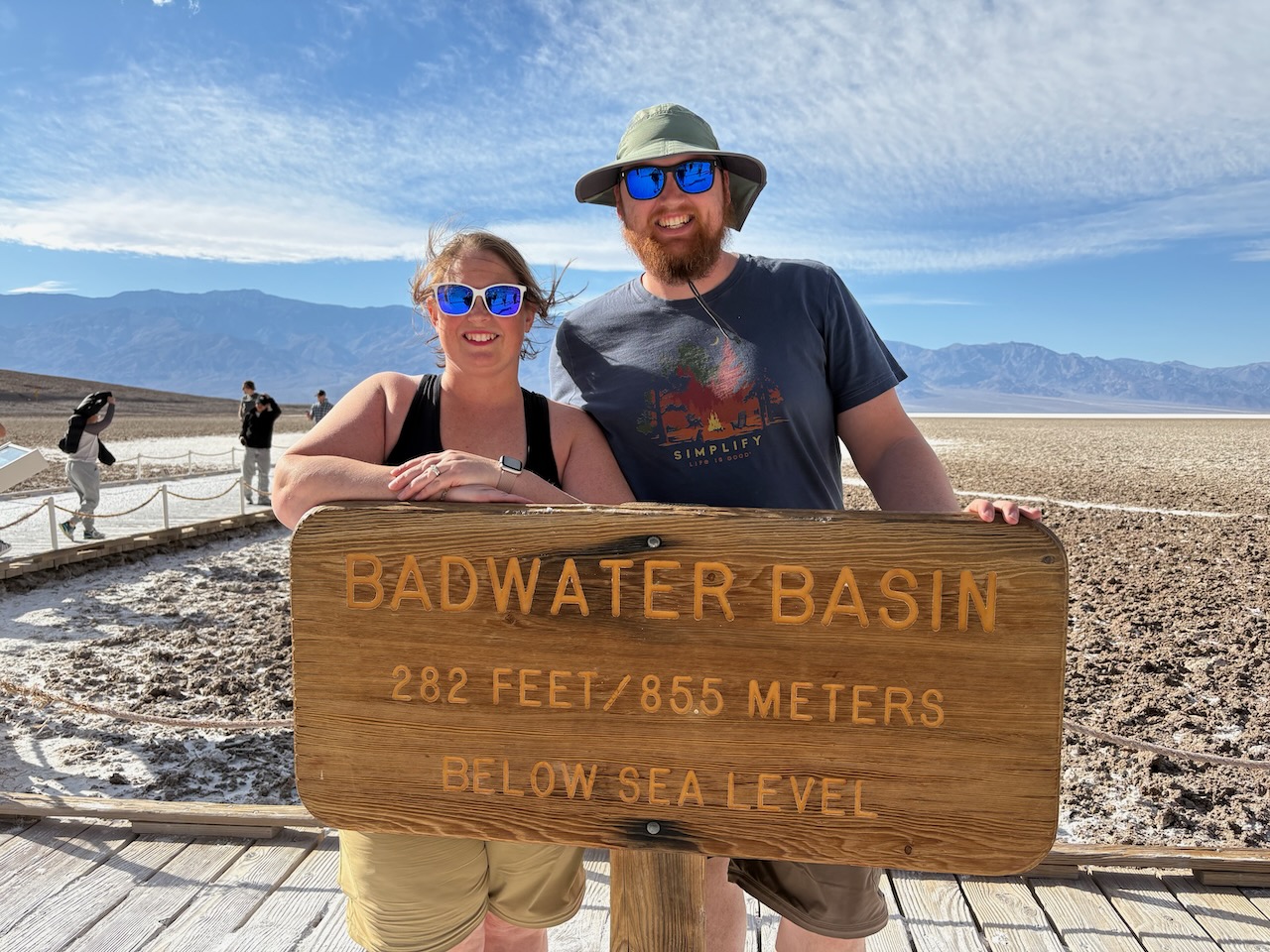
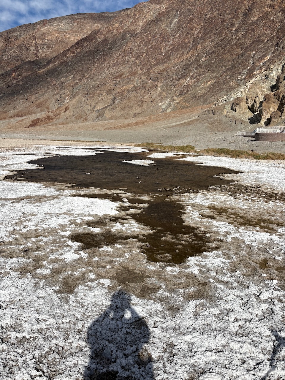
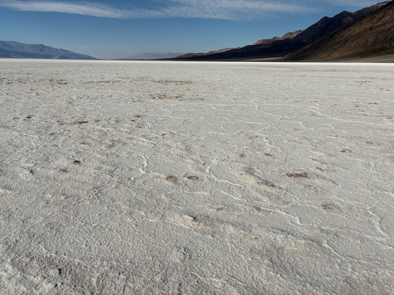
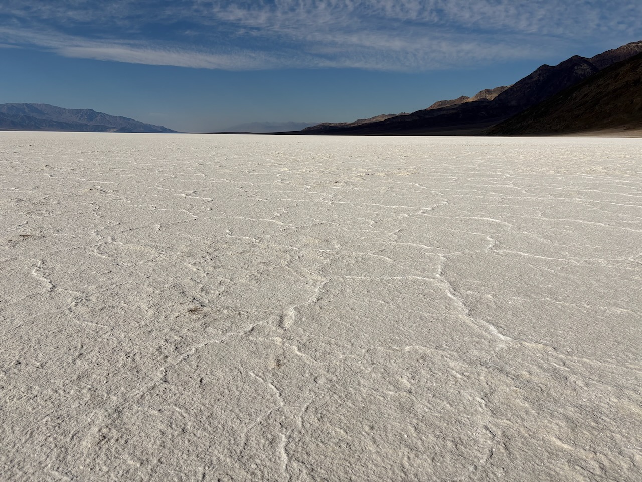
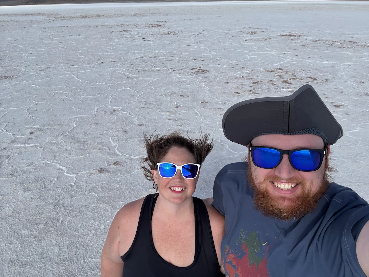
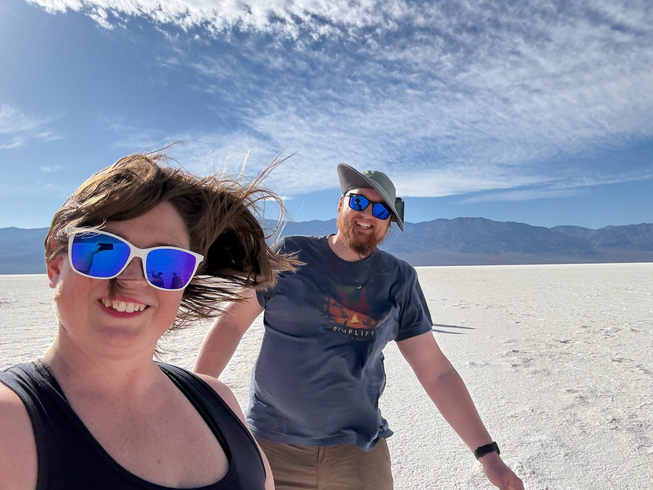
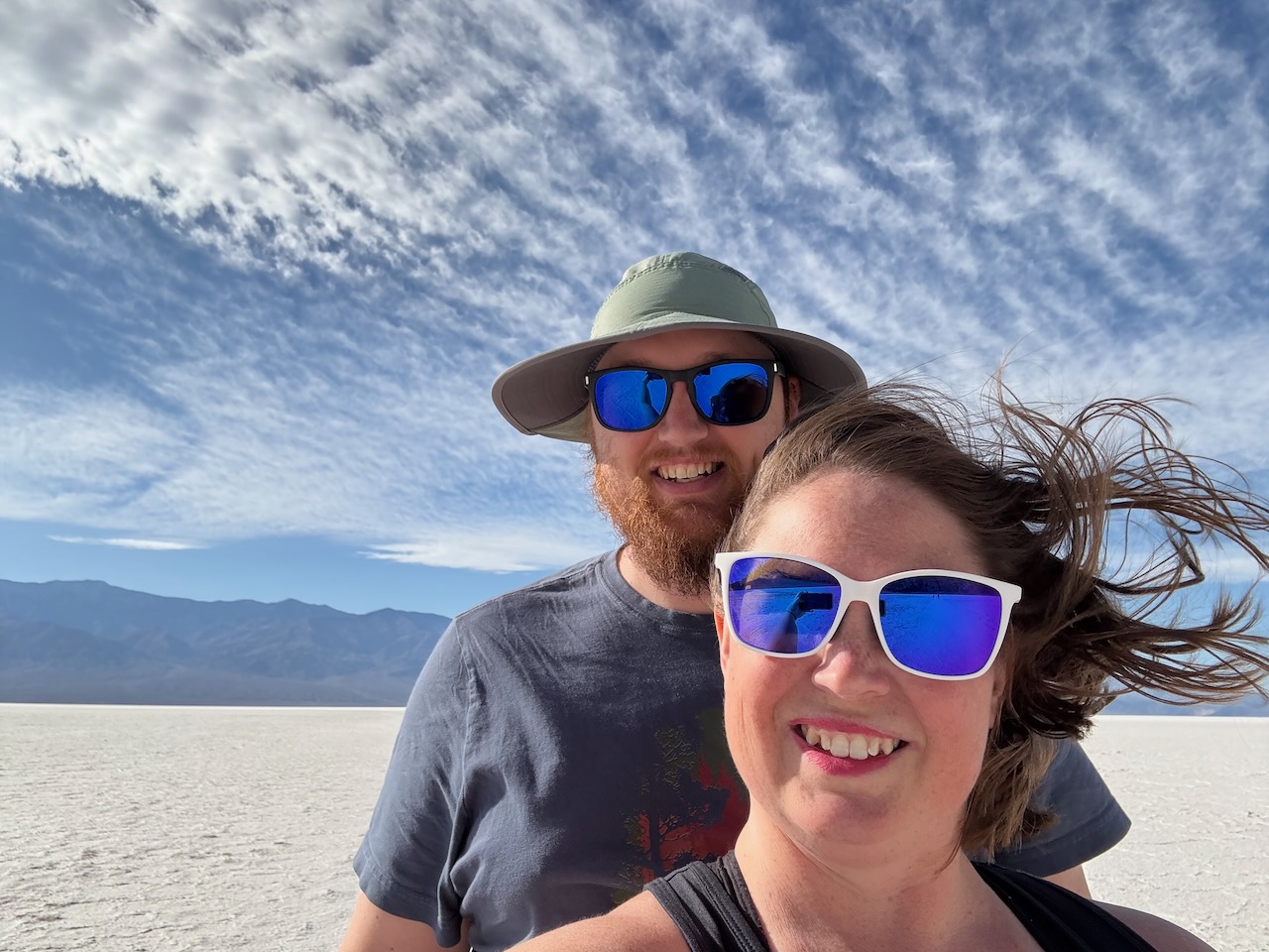
We finally arrived at Badwater Basin, the lowest place in Death Valley and all of the Western Hemisphere at 282 feet below
sea level.
You can see sea level about halfway up this cliff face.
Badwater Basin is so named because a traveler was passing through Death Valley and brought their mule to this
pool, but the mule refused to drink. It is indeed bad water of course. The minerals that dissolve into the run-off
from the 9000 mile catchment area drain into the basin. The heat evaporates the water, leaving all those
minerals, with the primary one being salt. That same evaporation makes salt ridges along every minor elevation change.

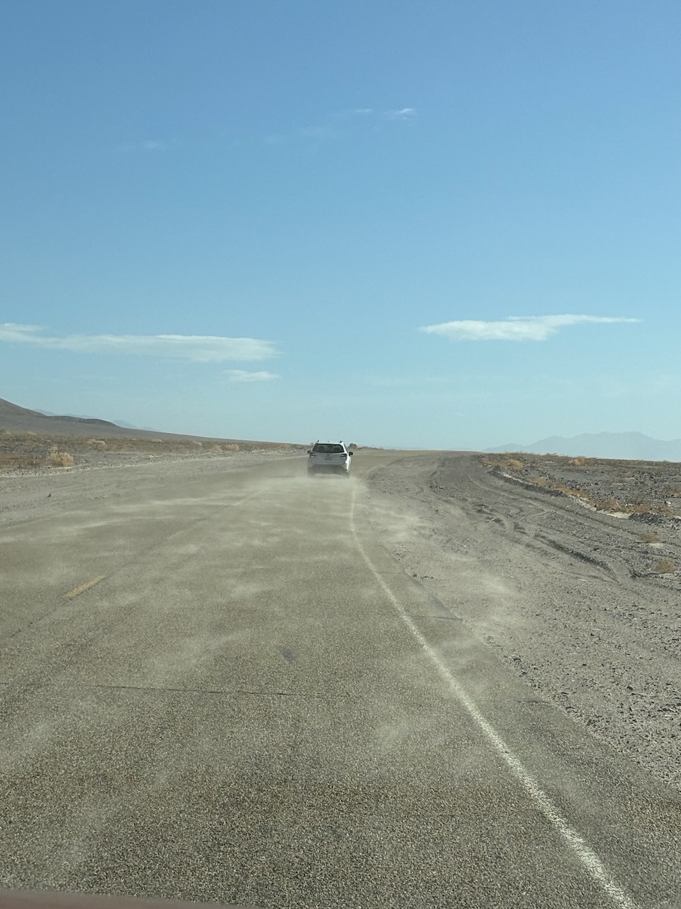
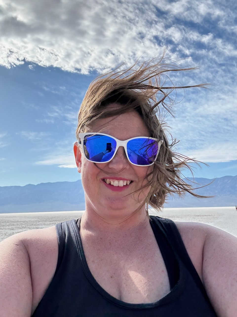
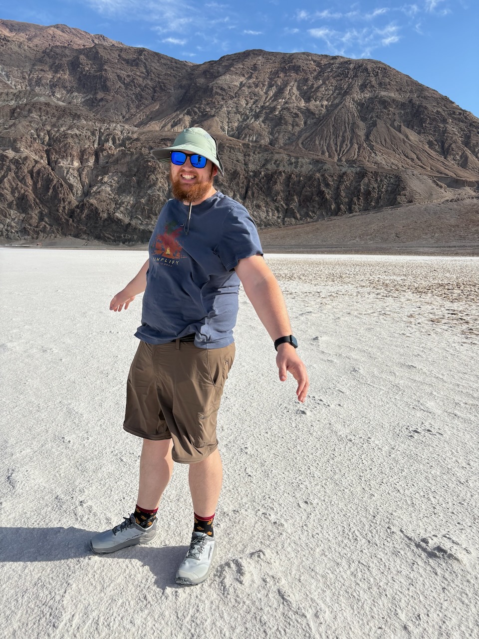
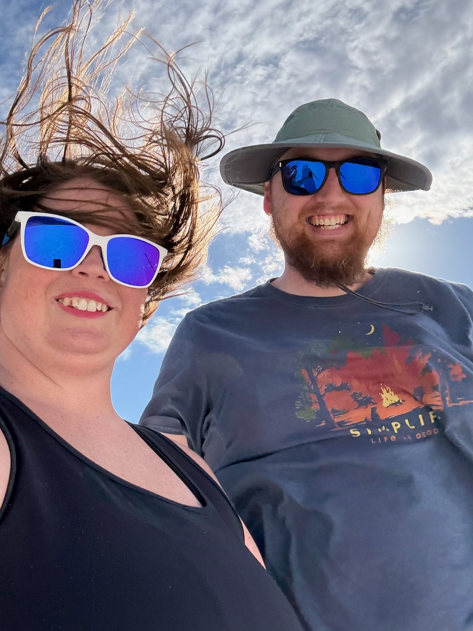
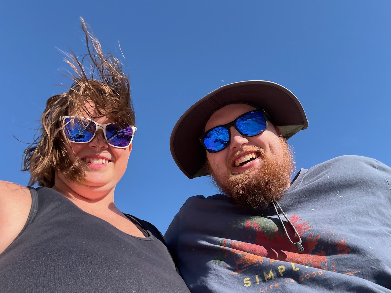
Did we mention that it's windy out here?
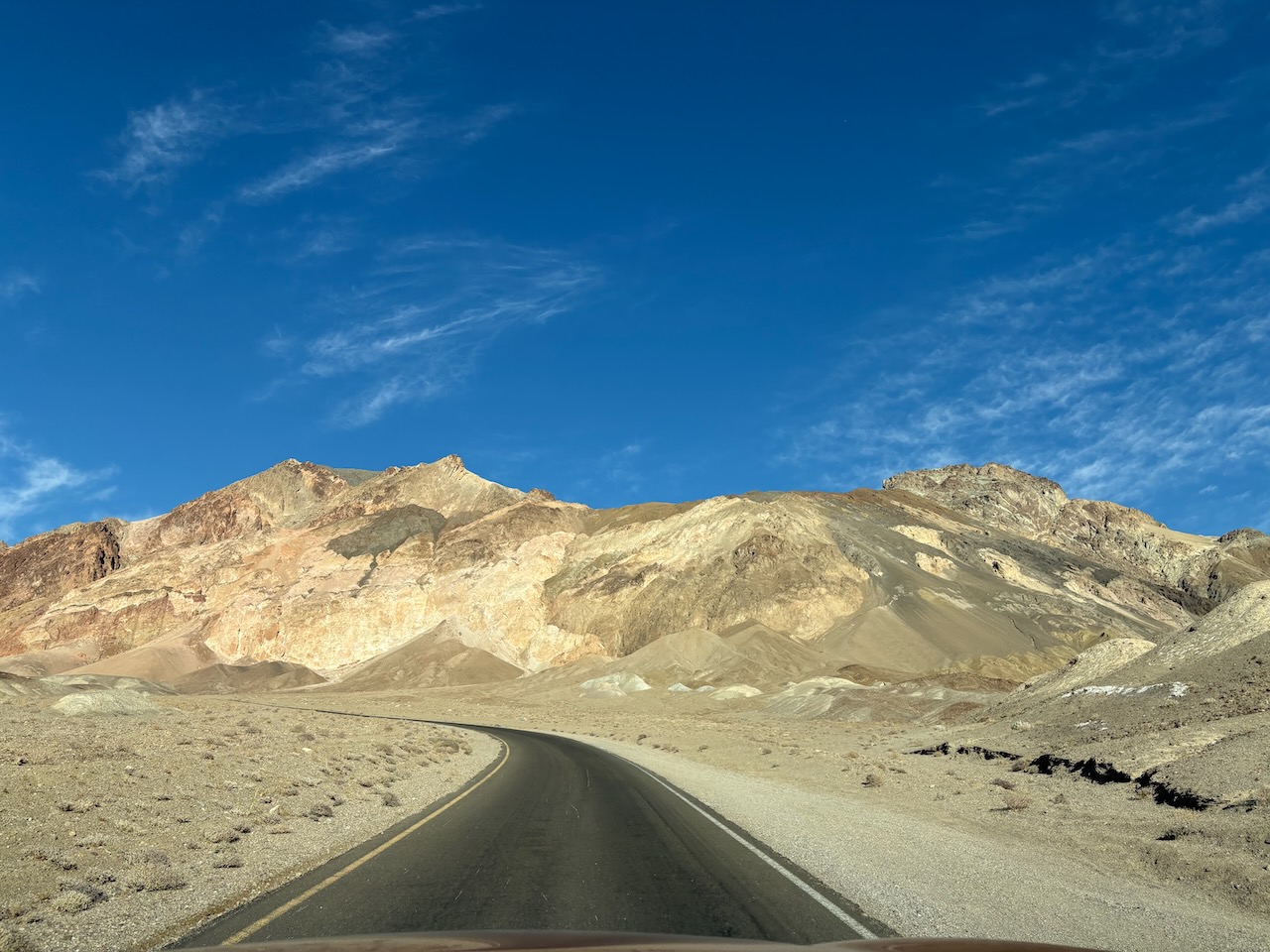
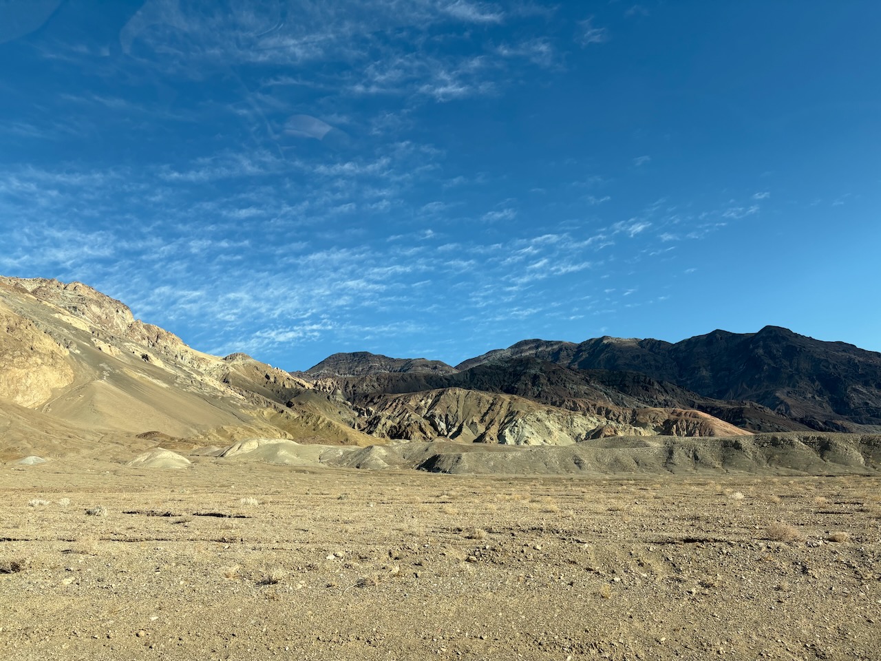
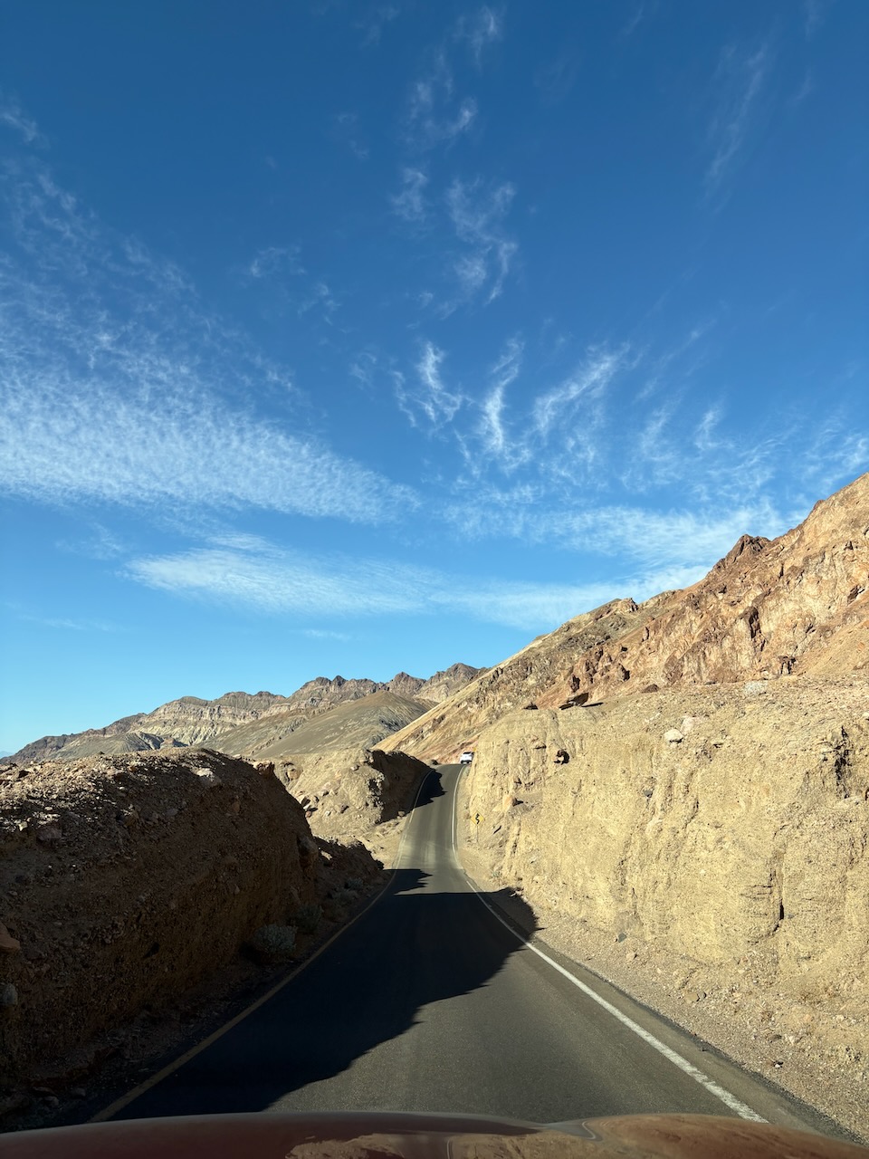
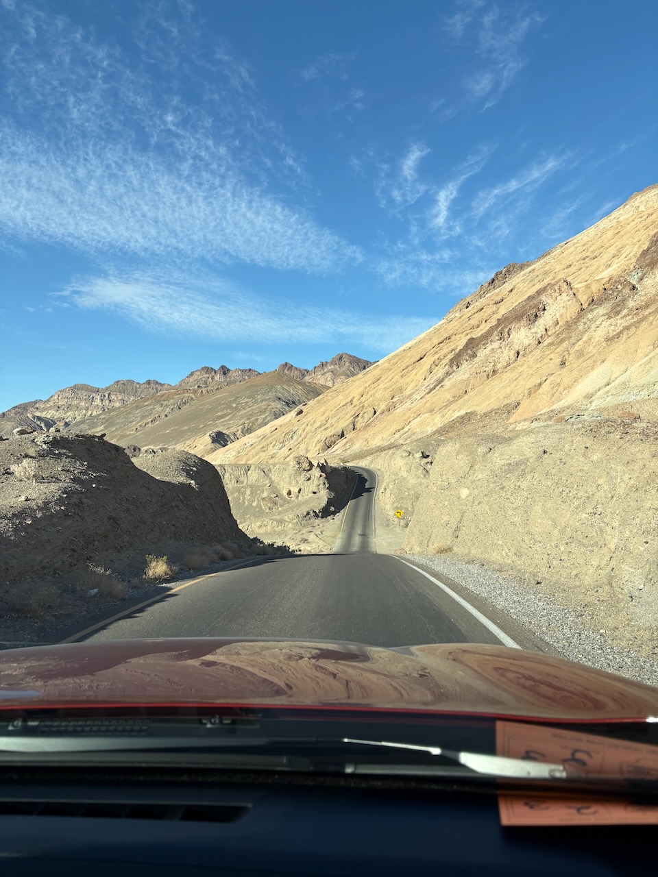
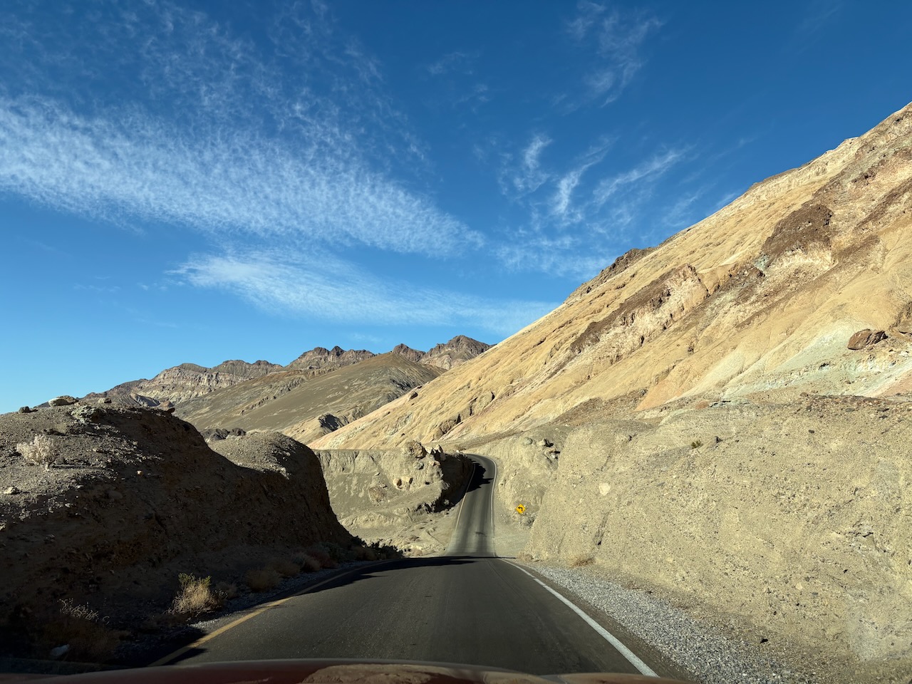
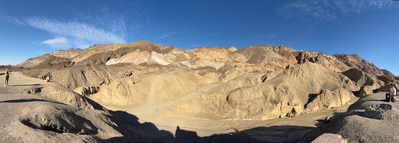
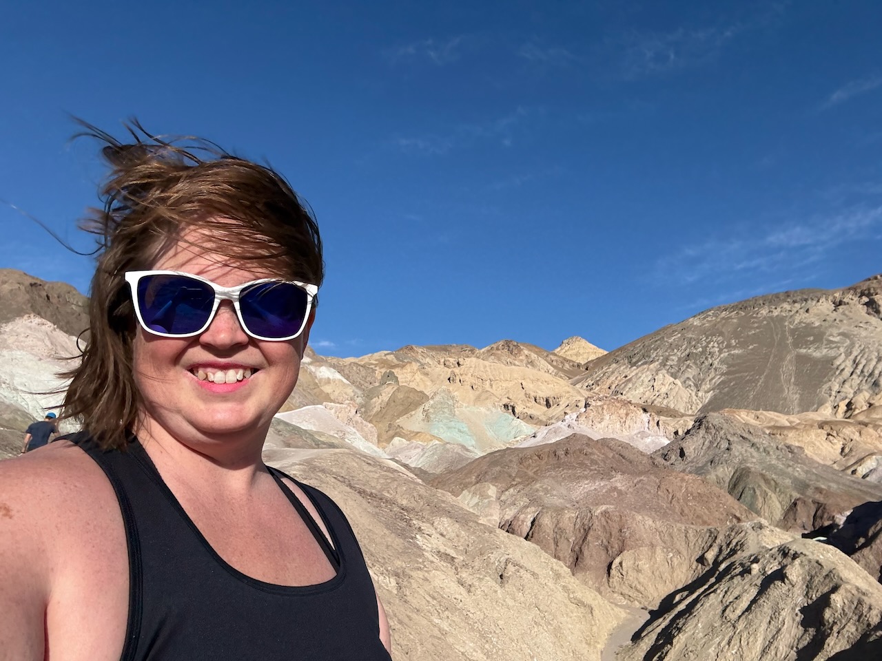
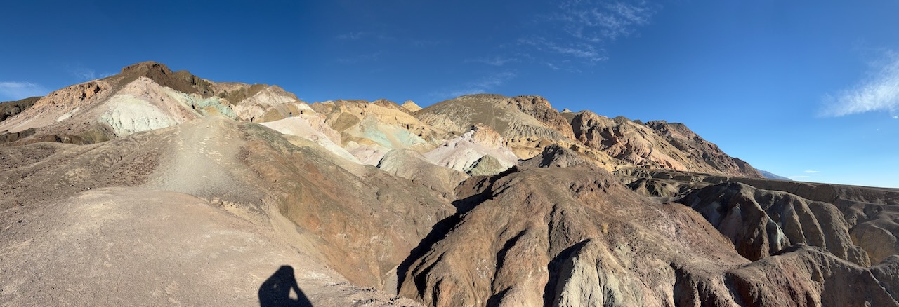
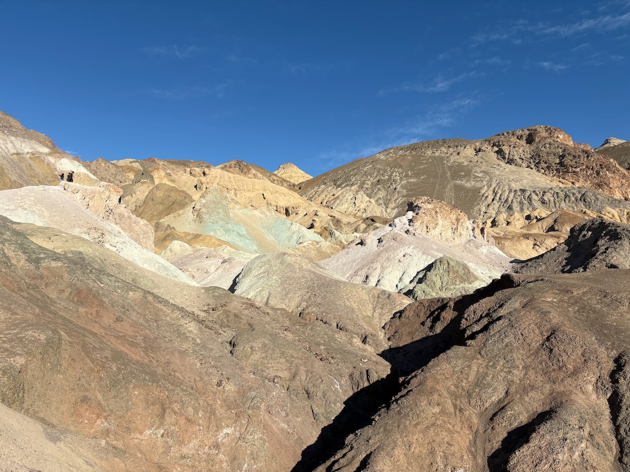
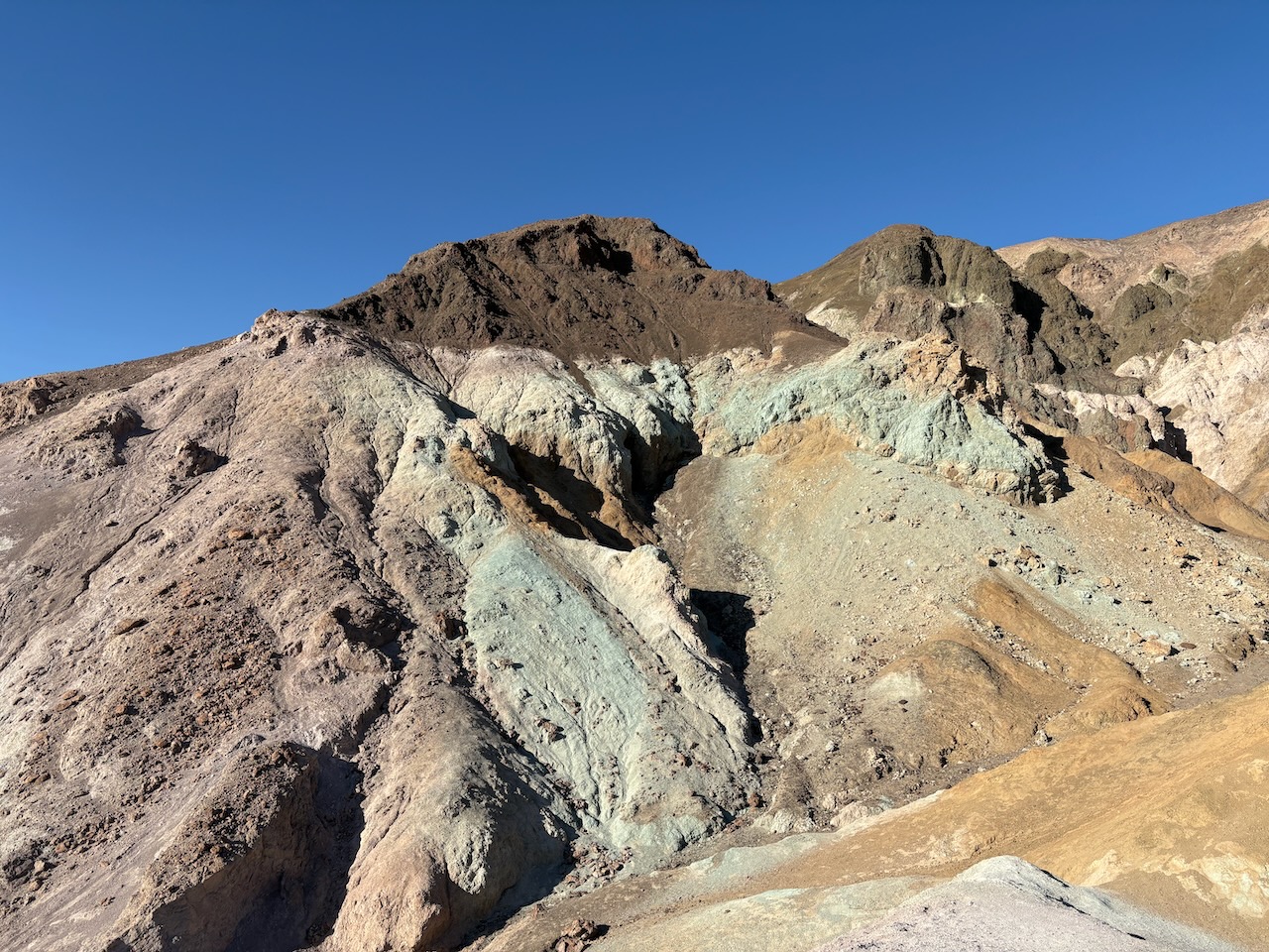
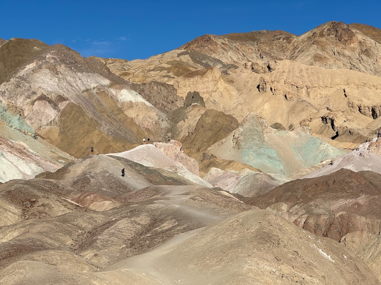
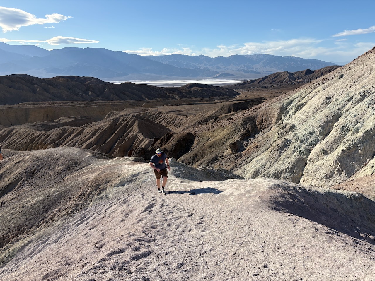
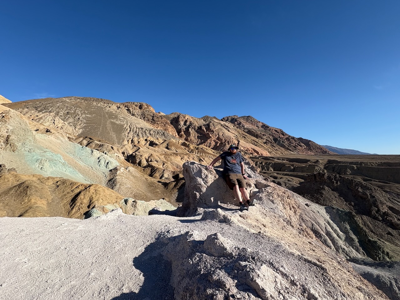
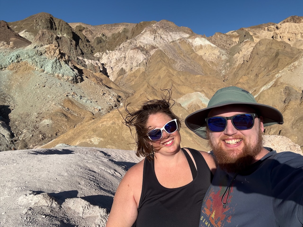
On our way back toward civilization, we went down Artist's Drive, a scenic canyon tour.
 "Civilization"
We have it on good authority that you can measure how close to civilization you are based on how close to Target you are. With this in mind, when we said "civilization" earlier, that was a bit of a misnomer, as we were 120 miles away from the nearest Target, making it decidedly not civilization.
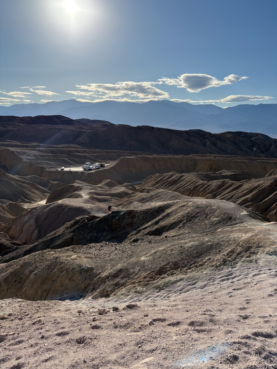
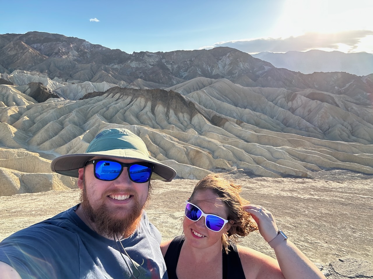
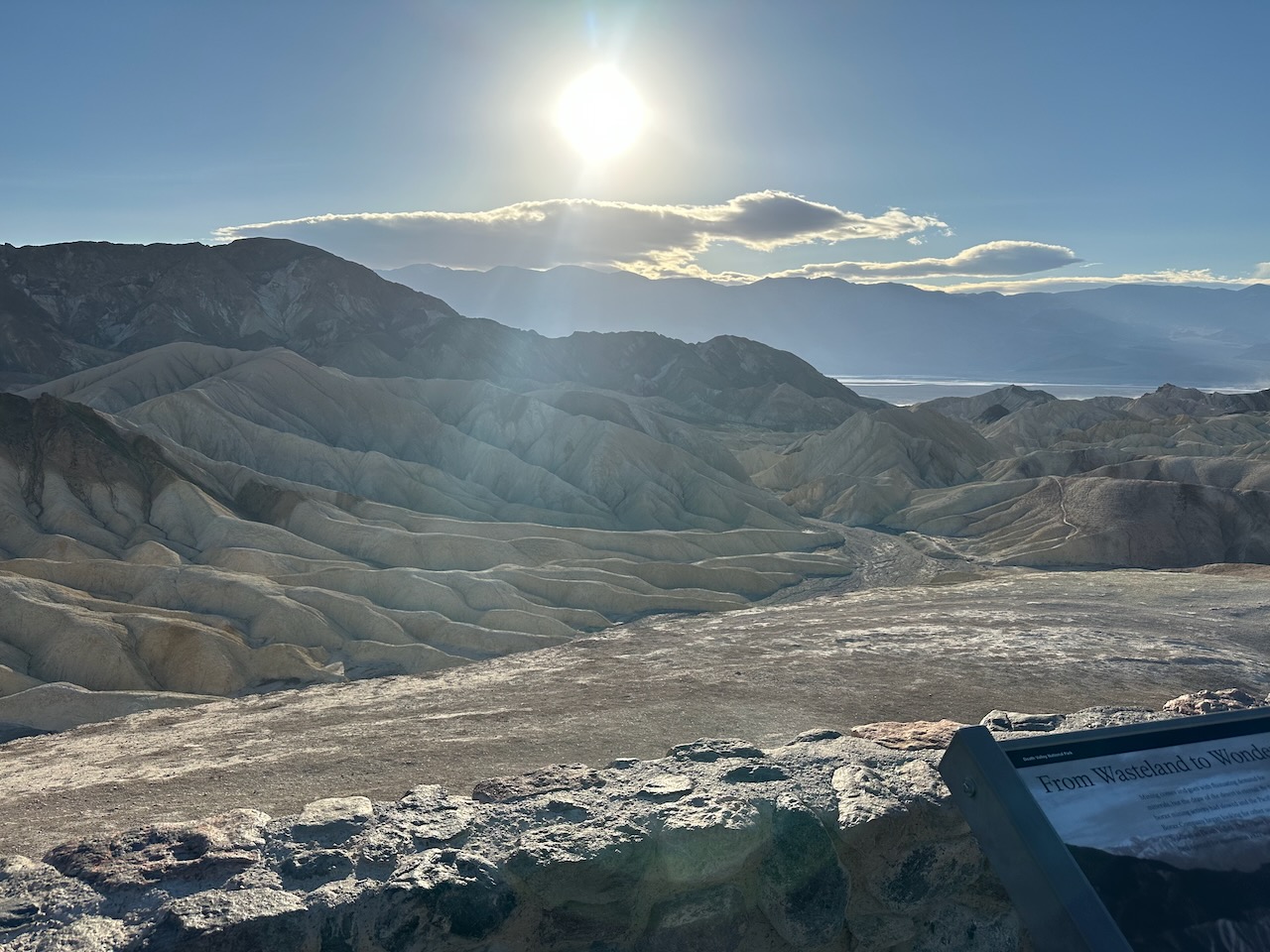
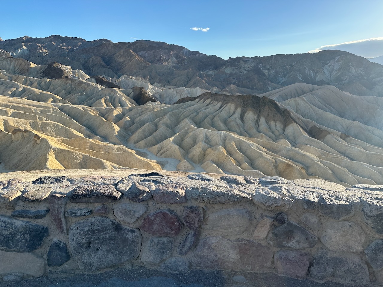
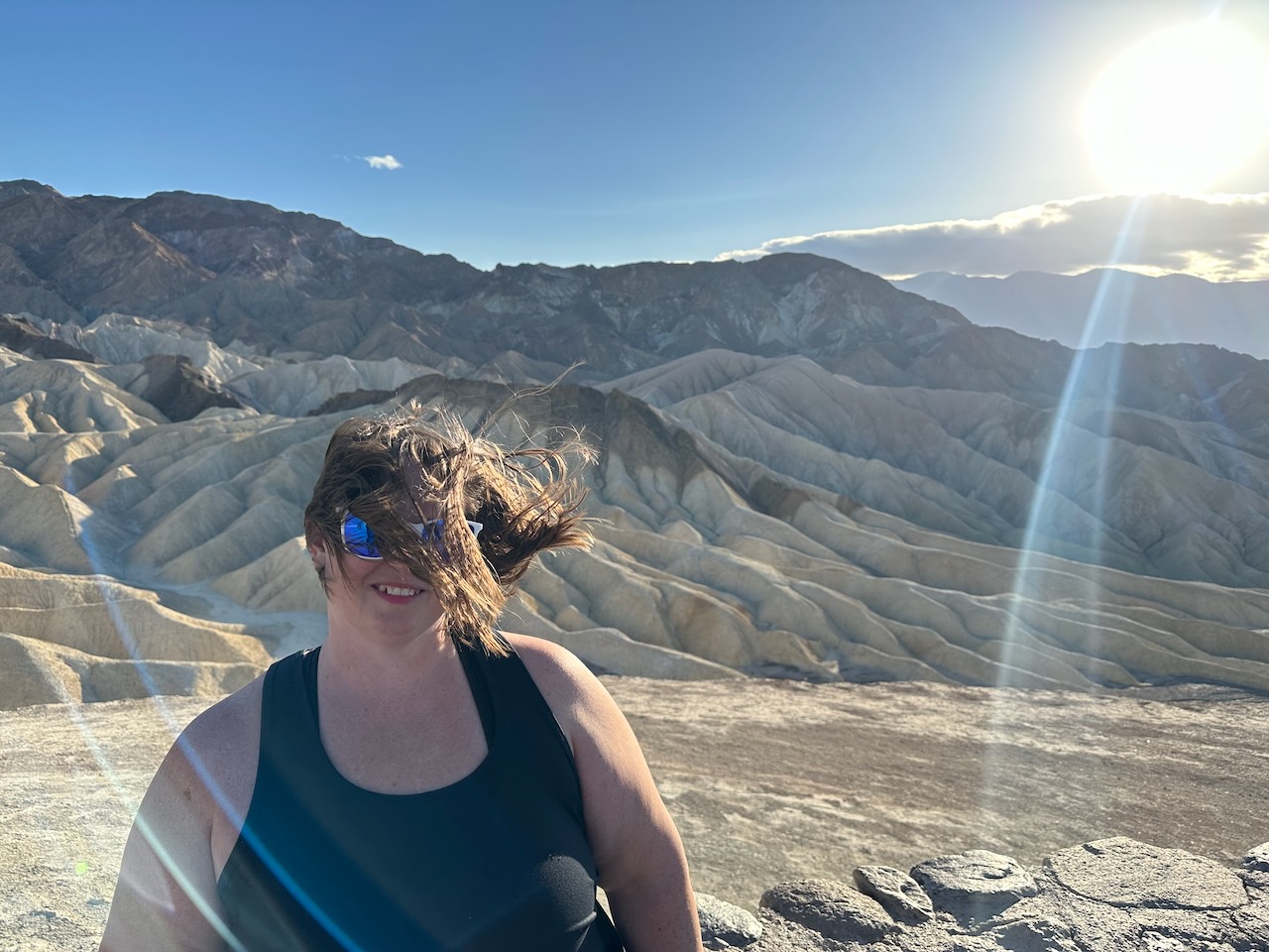
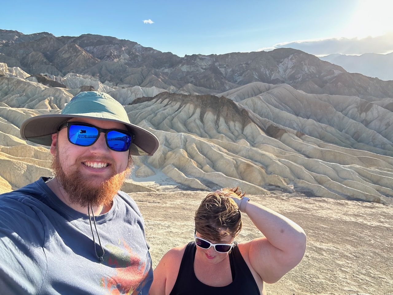
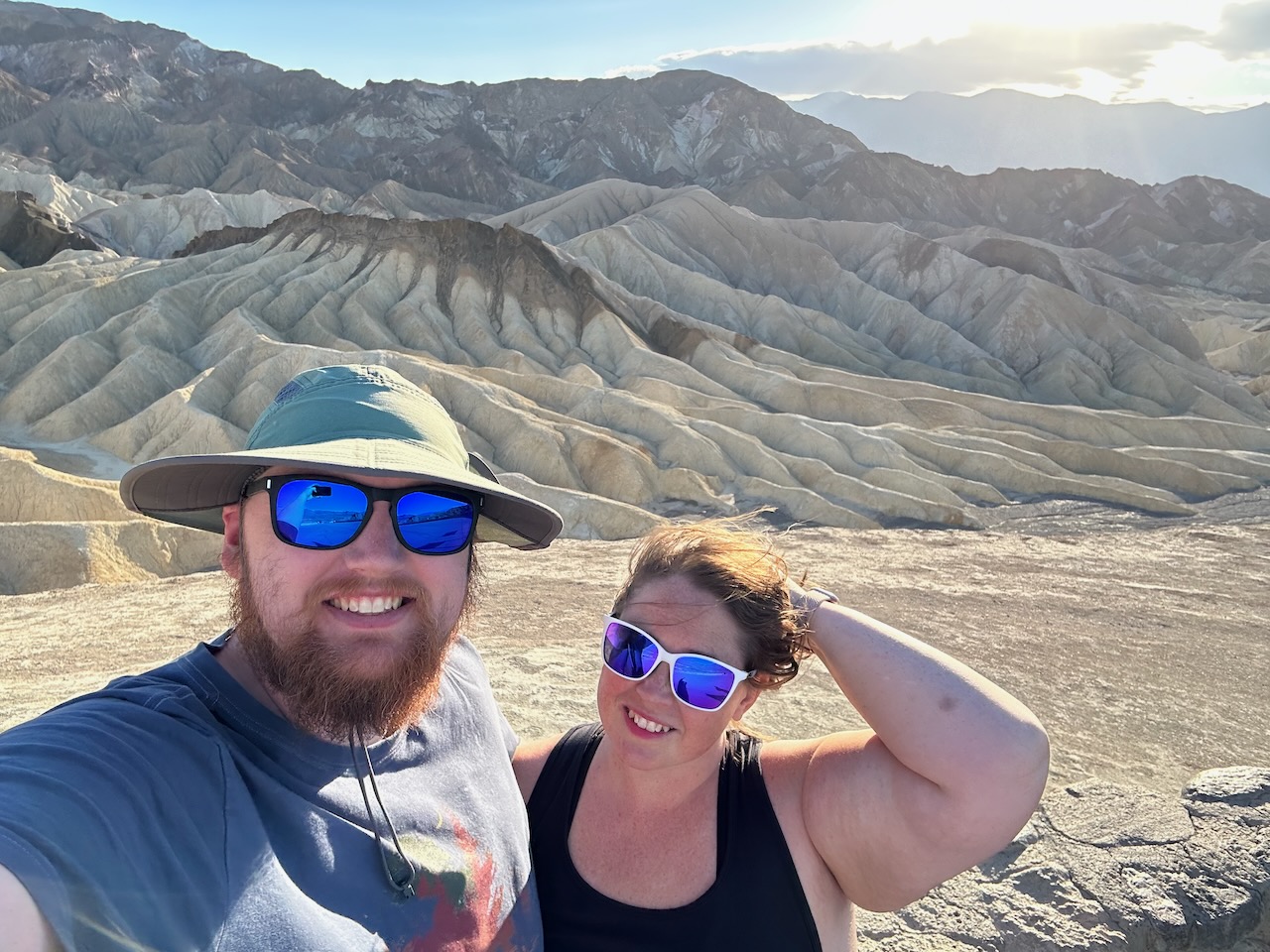
We also visited Zabriskie Point, which is a great overlook into some of the hills above Badwater Basin. We had just
as much trouble with the wind here as before.
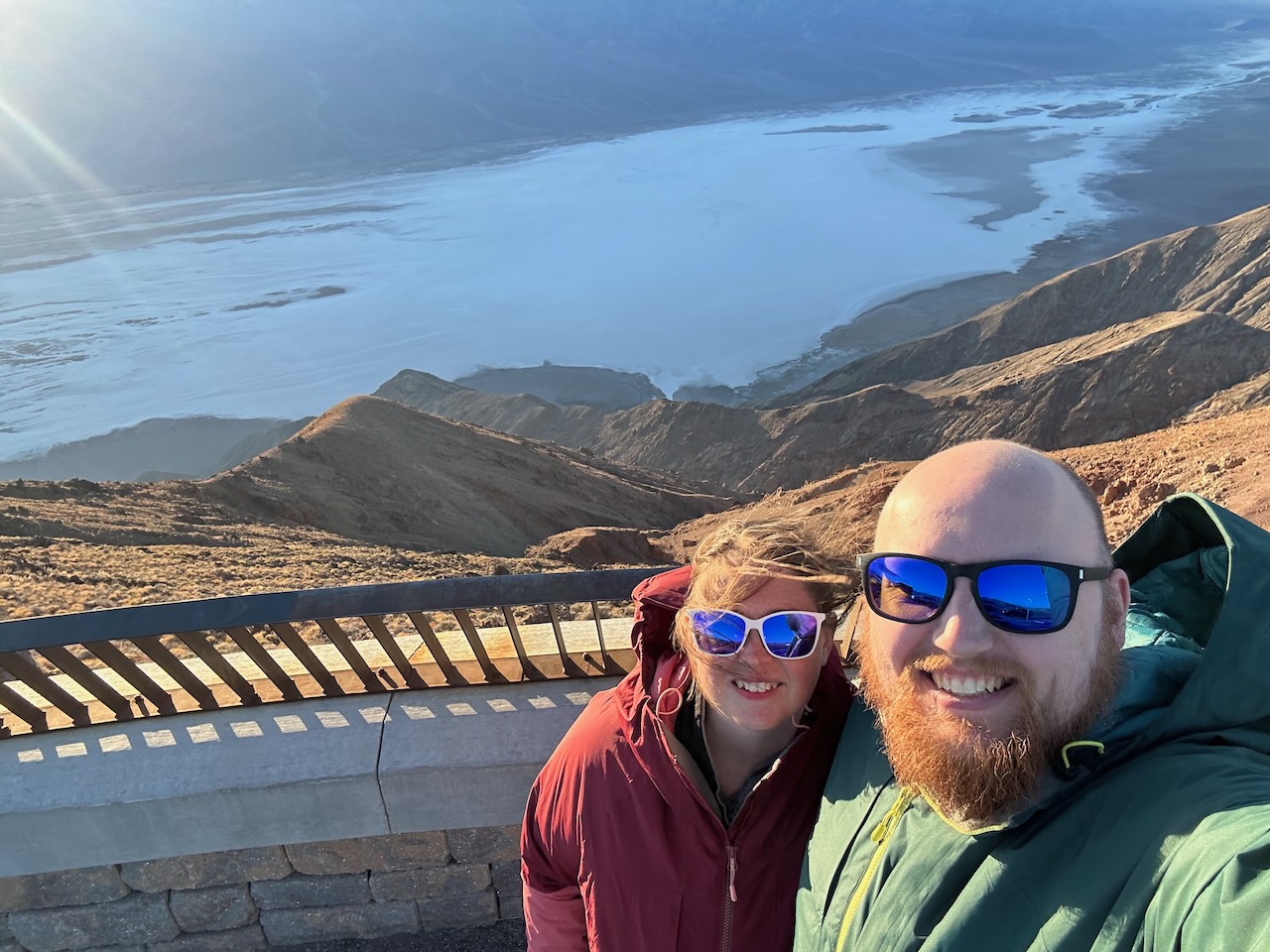
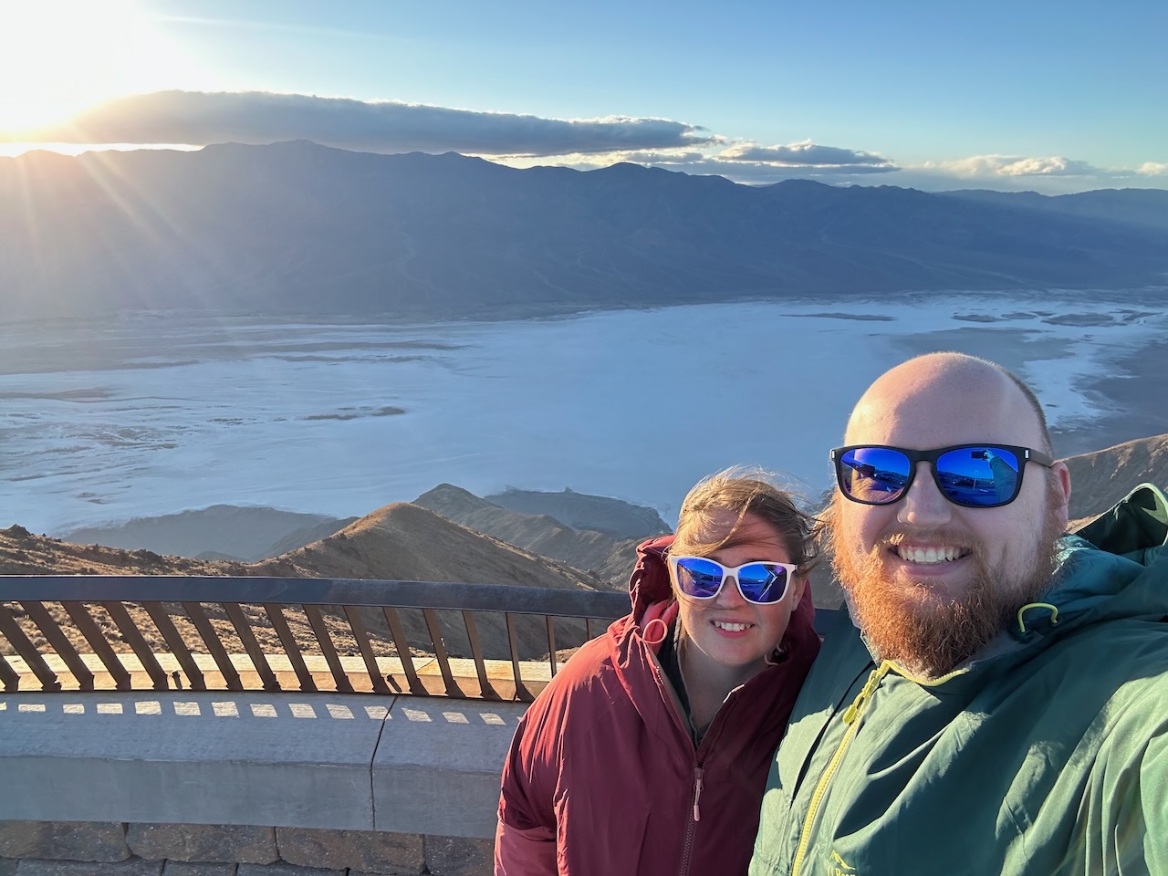
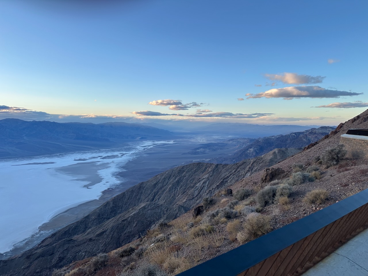
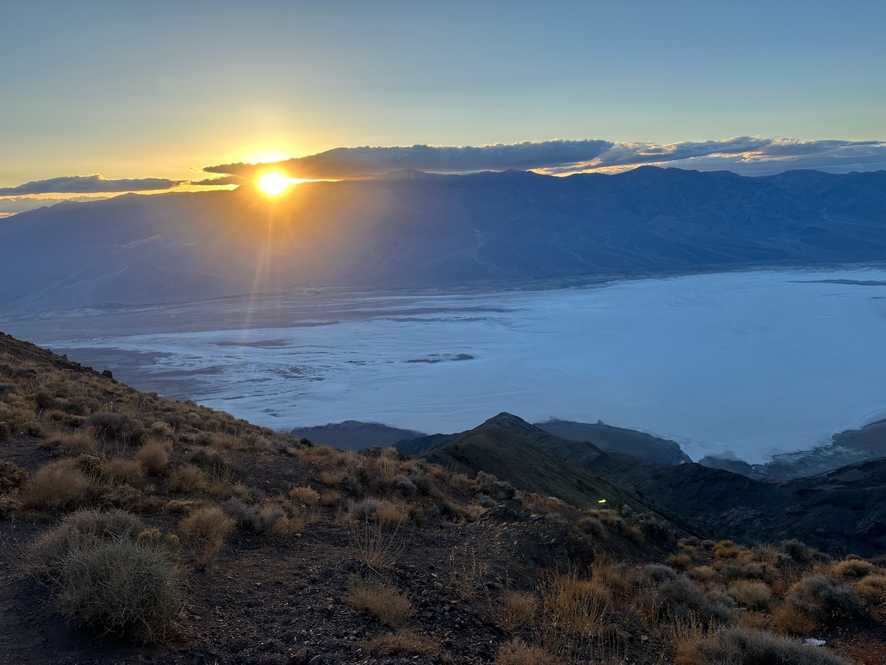
To round out our day at Death Valley, we went to Dante's View way above Badwater Basin at ~5500 feet above sea
level. It was just as windy, but now that we were up out of the valley, it was actually cold! 50°F with 30mph winds!
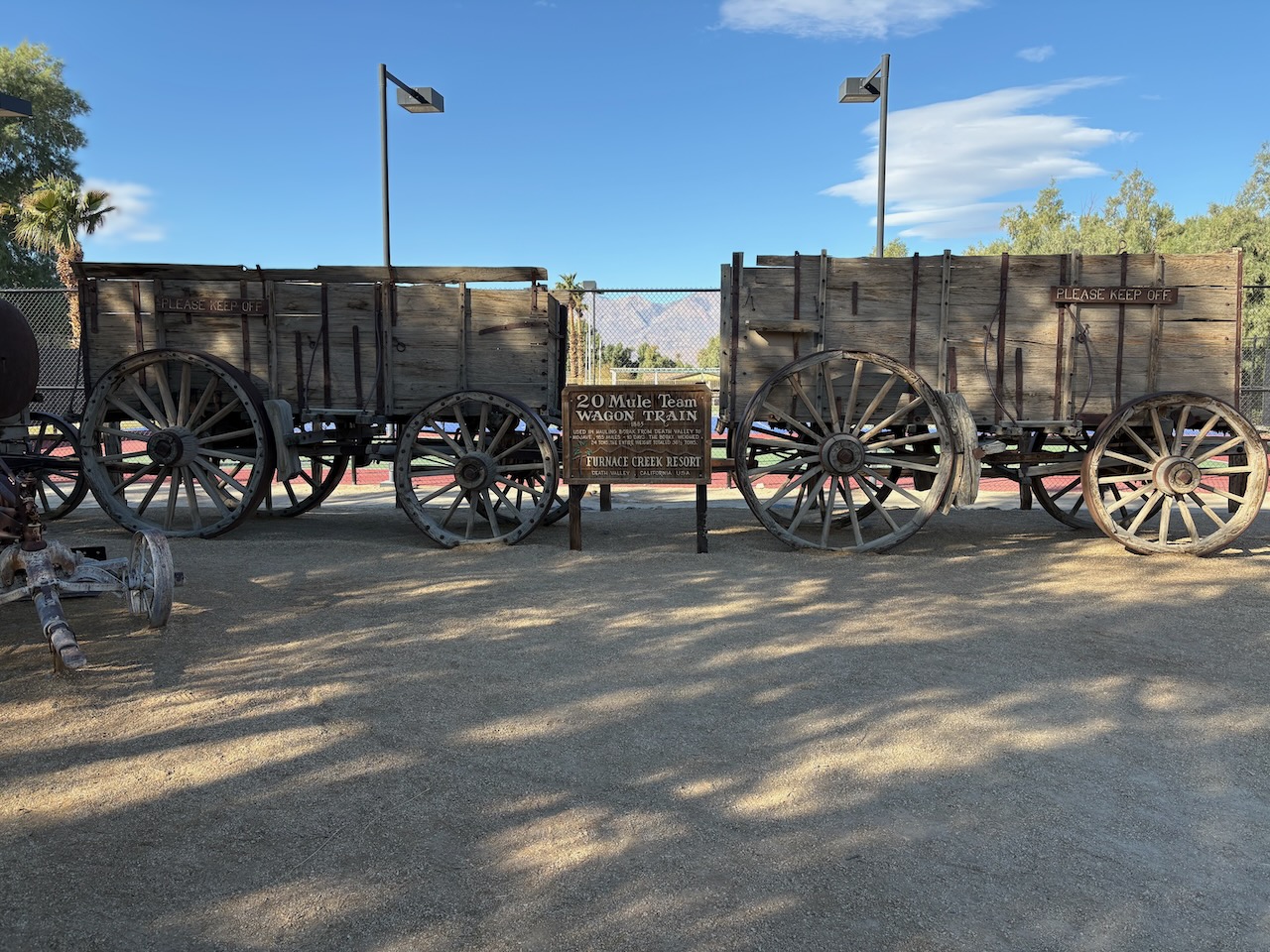
The next day we headed to the Harmony Borax works. We took a picture of some of the wagons, but forgot to take a
picture of the rest of the ruins. 🤦
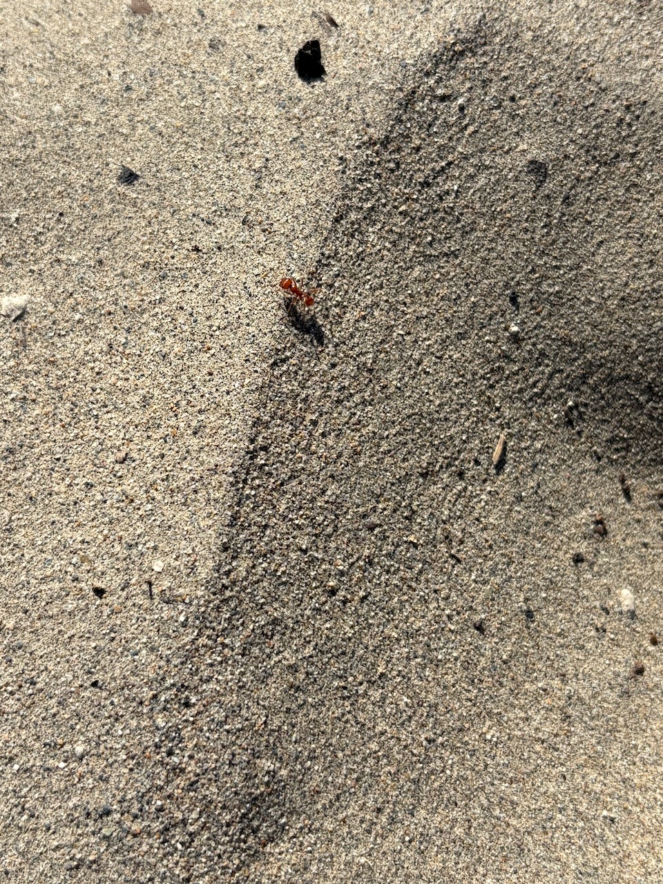
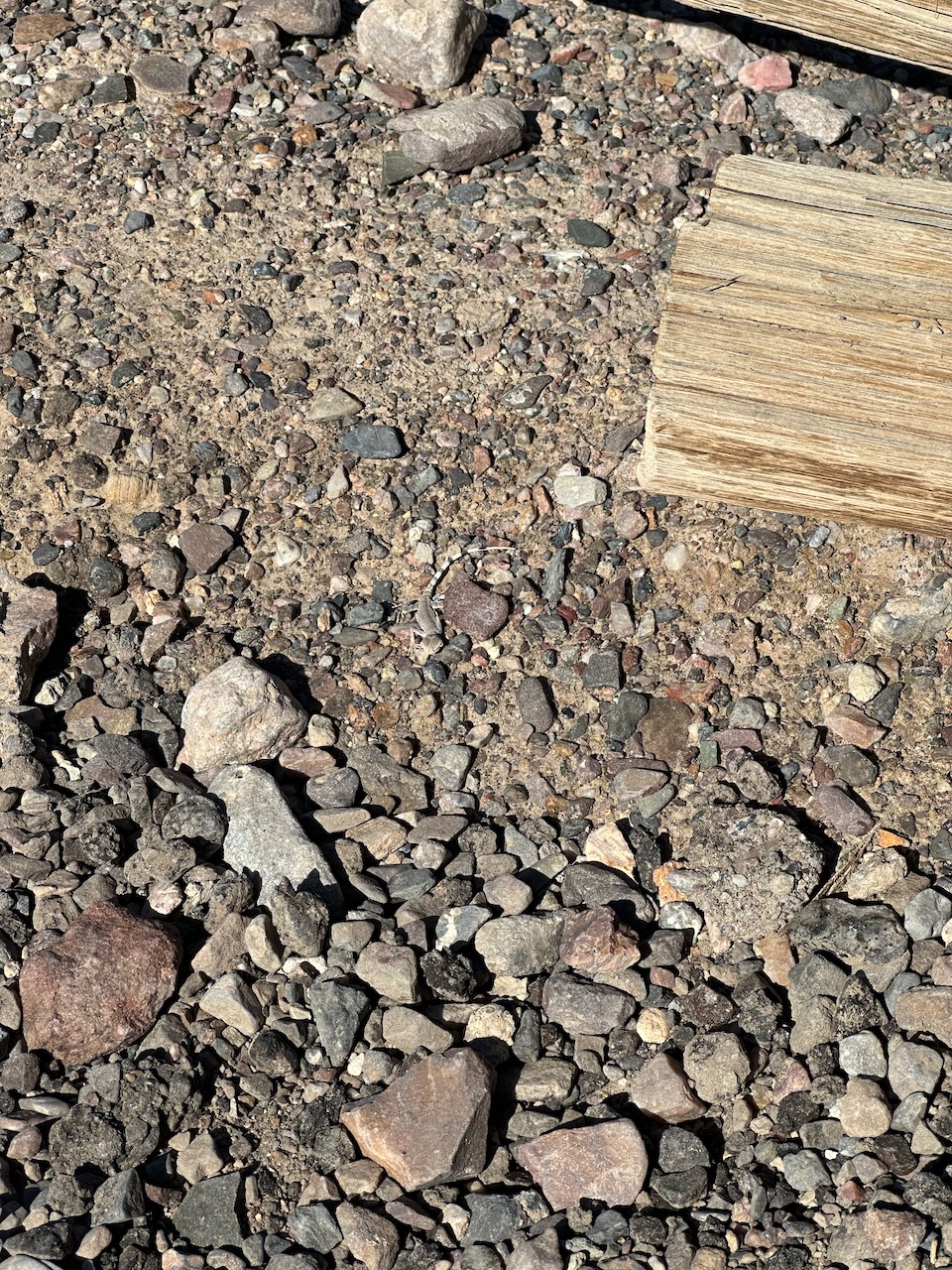
We did find a Zebra-Tailed Lizard though! He's really hard to spot right in the center of the frame. These lizards
lived in sandy and gravelly areas near dunes and in washes.
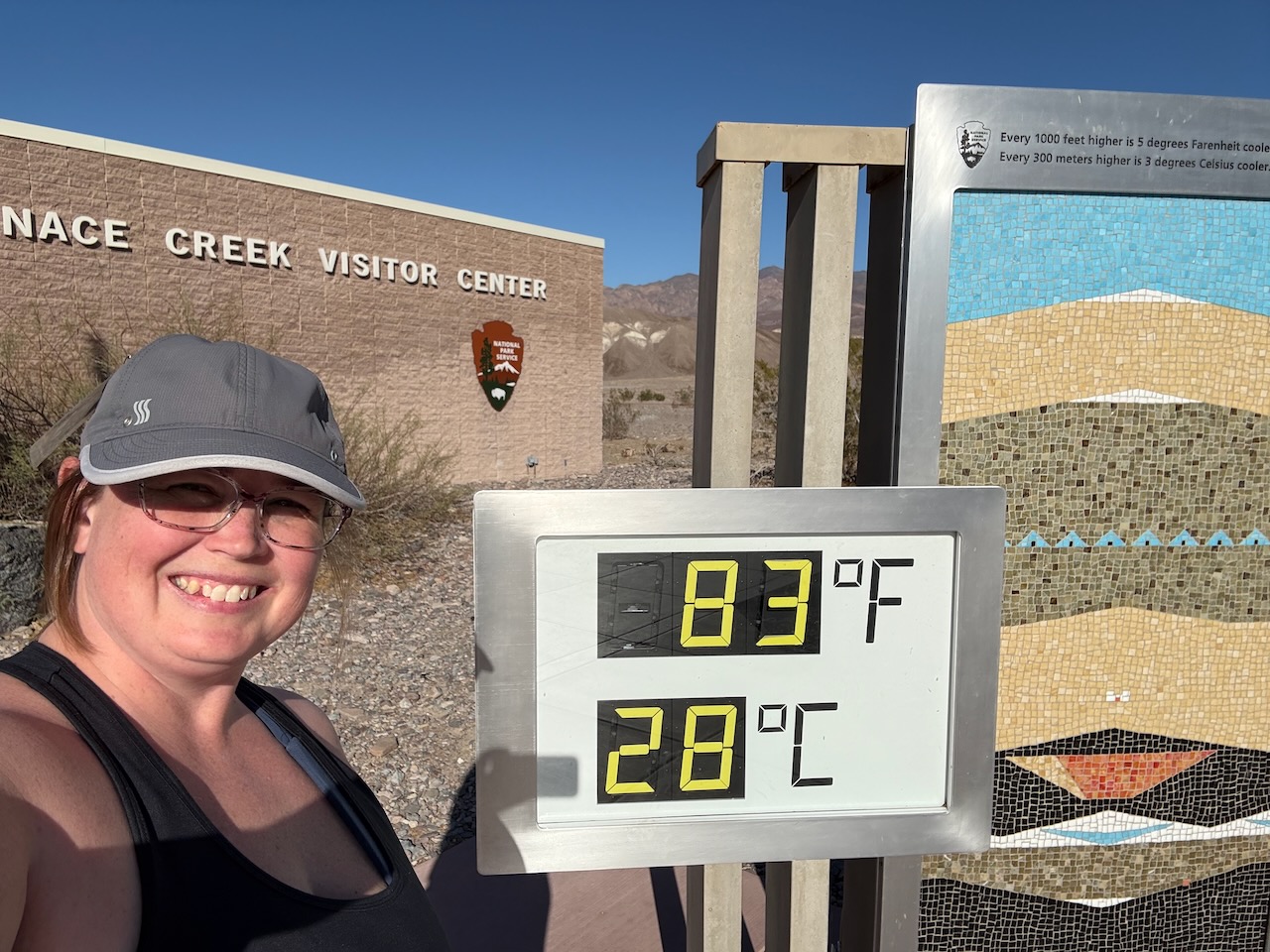
We headed by the visitor center and found a sign giving the temperature. It felt really hot, but it was quite cool
for the valley.
We were warm enough that going to the pool sounded like a great idea and we did just that as the sun started to set.
We came at the right time too, because we got to see the bats come out of their roost and take to the skies!
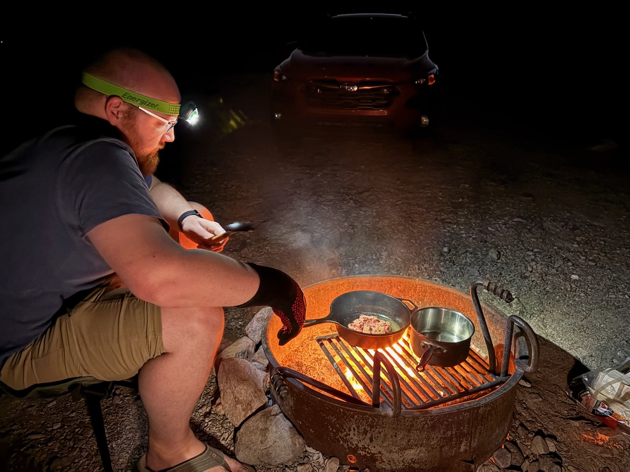
As night set, we had another delicious campfire meal. Cory was intent on tending the Shepard's Pie.
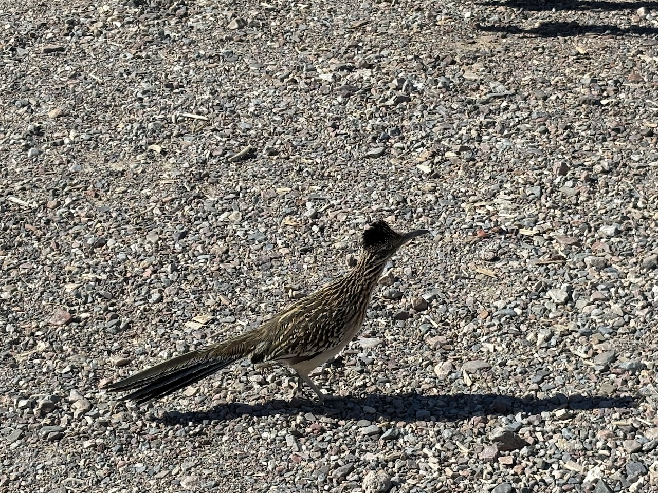
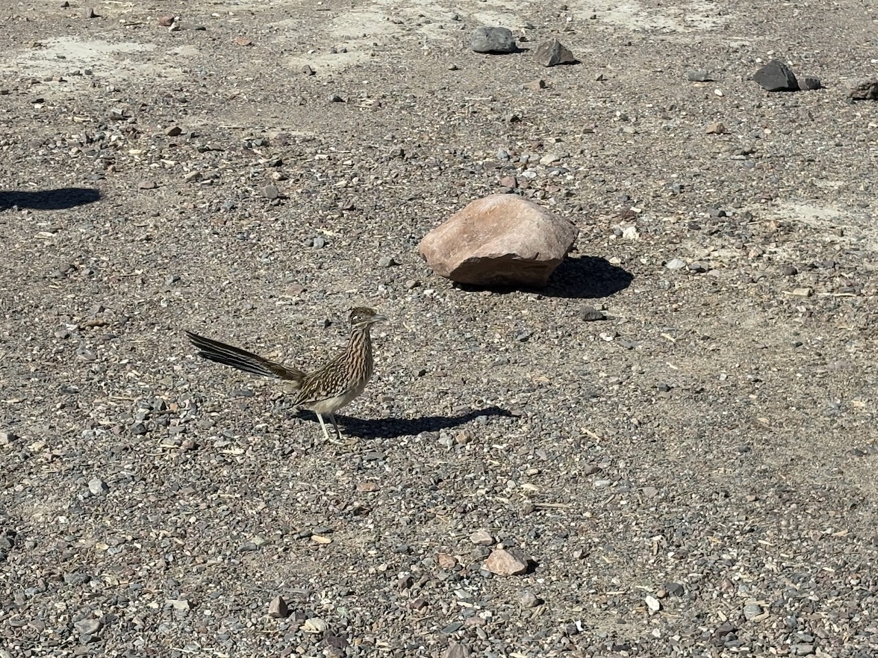
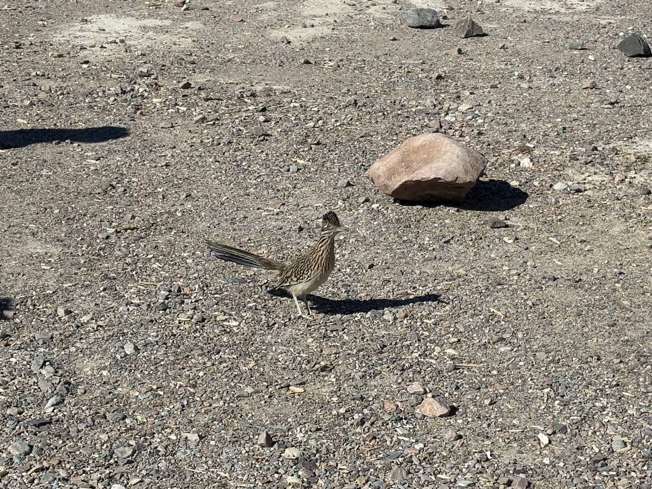
In the morning, we had a visitor as we began to break camp, a real-life roadrunner!
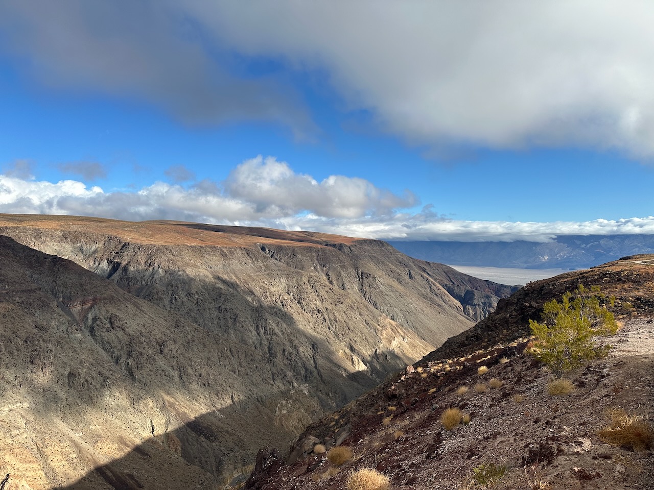
On our way out we passed through Father Crowley's Vista Point, which has a view deep into the
canyon and is sometimes used for aerial training by the military.
We saw much of the Valley of Death, though for us it was mostly the Valley of Wind. As we leave, we will miss the warmth, as we head into the Sierra Nevada mountain range to see what parks await us there!